119 Redmond St Jackson, WY 83001
Estimated Value: $1,862,084 - $2,354,000
Studio
--
Bath
1,662
Sq Ft
$1,321/Sq Ft
Est. Value
About This Home
This home is located at 119 Redmond St, Jackson, WY 83001 and is currently estimated at $2,195,521, approximately $1,321 per square foot. 119 Redmond St is a home with nearby schools including Jackson Elementary School, Jackson Hole Middle School, and Jackson Hole High School.
Ownership History
Date
Name
Owned For
Owner Type
Purchase Details
Closed on
Jul 30, 2019
Sold by
Ellis Affie B and Ellis Dennis E
Bought by
Ellis Dennis E and Ellis Affie B
Current Estimated Value
Home Financials for this Owner
Home Financials are based on the most recent Mortgage that was taken out on this home.
Original Mortgage
$349,125
Interest Rate
3.8%
Mortgage Type
New Conventional
Create a Home Valuation Report for This Property
The Home Valuation Report is an in-depth analysis detailing your home's value as well as a comparison with similar homes in the area
Purchase History
| Date | Buyer | Sale Price | Title Company |
|---|---|---|---|
| Ellis Dennis E | -- | First American Title Ins Co |
Source: Public Records
Mortgage History
| Date | Status | Borrower | Loan Amount |
|---|---|---|---|
| Closed | Ellis Dennis E | $349,125 |
Source: Public Records
Tax History
| Year | Tax Paid | Tax Assessment Tax Assessment Total Assessment is a certain percentage of the fair market value that is determined by local assessors to be the total taxable value of land and additions on the property. | Land | Improvement |
|---|---|---|---|---|
| 2025 | $8,052 | $143,530 | $119,388 | $24,142 |
| 2024 | $10,951 | $194,763 | $133,792 | $60,971 |
| 2023 | $11,608 | $206,435 | $139,360 | $67,075 |
| 2022 | $7,477 | $133,569 | $106,208 | $27,361 |
| 2021 | $5,713 | $100,265 | $65,978 | $34,287 |
| 2020 | $5,255 | $93,874 | $62,300 | $31,574 |
| 2019 | $4,370 | $76,590 | $62,300 | $14,290 |
| 2018 | $4,022 | $70,875 | $59,518 | $11,357 |
| 2017 | $3,317 | $57,231 | $42,901 | $14,330 |
| 2016 | $3,304 | $57,004 | $43,092 | $13,912 |
| 2015 | $2,395 | $54,404 | $43,092 | $11,312 |
| 2014 | $2,395 | $41,405 | $39,518 | $1,887 |
| 2013 | $2,395 | $41,405 | $39,518 | $1,887 |
Source: Public Records
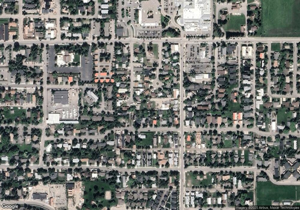
Map
Nearby Homes
- 662 E Hansen Ave
- 663&665 E Kelly Ave
- 500 E Kelly Ave
- 630 E Kelly Ave
- 371 Snow King Loop
- 150 N Jean St
- 524 Lower Snow King Loop Unit 241
- 526 Lower Snow King Loop Unit 262
- 735 Upper Redmond Rd
- 110 S Willow St
- 531 Snow King Loop Unit 3130
- 536 Snow King Loop Rd Unit 3630
- 130 E Kelly Ave Unit 11
- 308 Hidden Hollow Dr
- 400 Hidden Hollow Dr
- 20 W Karns Ave
- 150 W Simpson Ave Unit 404
- 110 & 120 W Hansen Ave
- 414 Hidden Hollow Dr
- 165 N Glenwood St Unit 28
- 534 No Name St
- 95 Stormy Cir
- 535 E No Name St
- 85 Stormy Cir
- 555 E Simpson Ave
- 545 E Simpson Ave
- 90 Stormy Cir
- 536 No Name St
- 559 E Simpson Ave
- 535 E Simpson Ave
- 525 E Simpson Ave
- 75 Stormy Cir
- 565 E Simpson Ave
- 585 E Simpson Ave
- 125 Redmond St
- 507 E Simpson Ave
- 65 Stormy Cir
- 70 Stormy Cir
- 529 No Name St
- 515 E Simpson Ave
Your Personal Tour Guide
Ask me questions while you tour the home.