119 River Ridge Ln Statesville, NC 28677
Estimated Value: $657,000 - $762,000
3
Beds
2
Baths
1,820
Sq Ft
$392/Sq Ft
Est. Value
About This Home
This home is located at 119 River Ridge Ln, Statesville, NC 28677 and is currently estimated at $713,995, approximately $392 per square foot. 119 River Ridge Ln is a home located in Iredell County with nearby schools including Celeste Henkel Elementary School, West Iredell Middle School, and West Iredell High School.
Ownership History
Date
Name
Owned For
Owner Type
Purchase Details
Closed on
Sep 28, 2001
Sold by
Grigorian Jon A and Grigorian Jill S
Bought by
Mcintyre Jeffrey Wayne and Mcintyre Deborah Russell
Current Estimated Value
Home Financials for this Owner
Home Financials are based on the most recent Mortgage that was taken out on this home.
Original Mortgage
$79,250
Outstanding Balance
$31,021
Interest Rate
6.89%
Estimated Equity
$682,974
Create a Home Valuation Report for This Property
The Home Valuation Report is an in-depth analysis detailing your home's value as well as a comparison with similar homes in the area
Home Values in the Area
Average Home Value in this Area
Purchase History
| Date | Buyer | Sale Price | Title Company |
|---|---|---|---|
| Mcintyre Jeffrey Wayne | $87,500 | -- |
Source: Public Records
Mortgage History
| Date | Status | Borrower | Loan Amount |
|---|---|---|---|
| Open | Mcintyre Jeffrey Wayne | $79,250 |
Source: Public Records
Tax History Compared to Growth
Tax History
| Year | Tax Paid | Tax Assessment Tax Assessment Total Assessment is a certain percentage of the fair market value that is determined by local assessors to be the total taxable value of land and additions on the property. | Land | Improvement |
|---|---|---|---|---|
| 2024 | $3,826 | $600,810 | $218,500 | $382,310 |
| 2023 | $3,665 | $600,810 | $218,500 | $382,310 |
| 2022 | $3,081 | $473,920 | $207,000 | $266,920 |
| 2021 | $3,030 | $473,920 | $207,000 | $266,920 |
| 2020 | $3,030 | $473,920 | $207,000 | $266,920 |
| 2019 | $2,911 | $473,920 | $207,000 | $266,920 |
| 2018 | $2,638 | $432,880 | $207,000 | $225,880 |
| 2017 | $2,638 | $432,880 | $207,000 | $225,880 |
| 2016 | $2,638 | $432,880 | $207,000 | $225,880 |
| 2015 | $2,638 | $432,880 | $207,000 | $225,880 |
| 2014 | $2,490 | $443,250 | $202,500 | $240,750 |
Source: Public Records
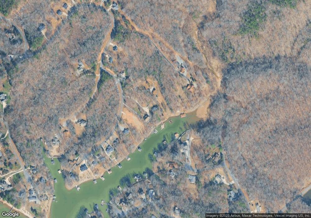
Map
Nearby Homes
- 142 Mimosa Rd
- 555 Laurel Cove Rd
- 0000 Spring Shore Rd
- 227 Spring Shore Rd
- 463 Laurel Cove Rd
- Princeton Plan at Harbor Watch
- Berkeley Plan at Harbor Watch
- Davidson Plan at Harbor Watch
- Harvard Plan at Harbor Watch
- Madison Plan at Harbor Watch
- Columbia Plan at Harbor Watch
- 122 High Lake Dr
- 243 S Harbor Watch Dr
- 243 S Harbor Watch Dr Unit 22
- 131 High Lake Dr
- L177 Laurel Cove Rd
- 204 S Harbor Watch Dr
- 1122 Astoria Pkwy
- 120 Shadow Ridge Ct
- 139 N Harbor Watch Dr
- 123 River Ridge Ln
- 117 River Ridge Ln
- 129 River Ridge Ln
- 111 River Ridge Ln
- 135 River Ridge Ln
- 165 Island Terrace Rd
- 120 Hickory Point Ct
- 124 Hickory Point Ct
- 116 River Ridge Ln Unit 30
- 000 Hickory Point Ct
- 139 River Ridge Ln
- 139 River Ridge Ln Unit 7
- 126 Hickory Point Ct
- 143 River Ridge Ln
- 181 Island Terrace Rd
- 175 Island Terrace Rd
- 125 Hickory Point Ct
- L36 Island Terrace Rd
- 147 River Ridge Ln
- 242 Island Terrace Rd