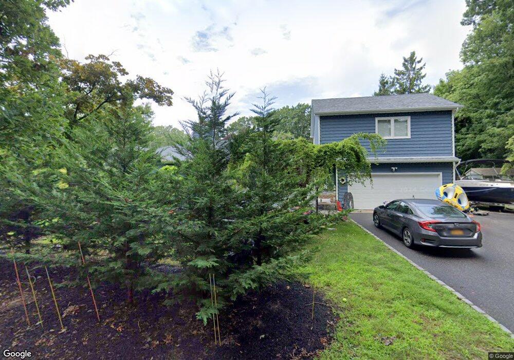
119 Roe Ln Port Jefferson, NY 11777
Estimated Value: $623,085 - $715,000
--
Bed
--
Bath
1,353
Sq Ft
$494/Sq Ft
Est. Value
About This Home
This home is located at 119 Roe Ln, Port Jefferson, NY 11777 and is currently estimated at $669,043, approximately $494 per square foot. 119 Roe Ln is a home located in Suffolk County with nearby schools including Edna Louise Spear Elementary, Port Jefferson Middle School, and Earl L Vandermeulen High School.
Ownership History
Date
Name
Owned For
Owner Type
Purchase Details
Closed on
Jun 18, 1998
Sold by
Leon Blanche A
Bought by
Bates Kevin B and Bates Kelly L
Current Estimated Value
Home Financials for this Owner
Home Financials are based on the most recent Mortgage that was taken out on this home.
Original Mortgage
$207,000
Outstanding Balance
$41,555
Interest Rate
7.09%
Mortgage Type
Purchase Money Mortgage
Estimated Equity
$627,488
Purchase Details
Closed on
Nov 11, 1994
Sold by
Leon Blanche A
Bought by
Leon Blanche A
Create a Home Valuation Report for This Property
The Home Valuation Report is an in-depth analysis detailing your home's value as well as a comparison with similar homes in the area
Home Values in the Area
Average Home Value in this Area
Purchase History
| Date | Buyer | Sale Price | Title Company |
|---|---|---|---|
| Bates Kevin B | $230,000 | Advantage Title | |
| Leon Blanche A | -- | First American Title Ins Co |
Source: Public Records
Mortgage History
| Date | Status | Borrower | Loan Amount |
|---|---|---|---|
| Open | Bates Kevin B | $207,000 |
Source: Public Records
Tax History Compared to Growth
Tax History
| Year | Tax Paid | Tax Assessment Tax Assessment Total Assessment is a certain percentage of the fair market value that is determined by local assessors to be the total taxable value of land and additions on the property. | Land | Improvement |
|---|---|---|---|---|
| 2024 | $12,660 | $4,120 | $220 | $3,900 |
| 2023 | $12,660 | $4,120 | $220 | $3,900 |
| 2022 | $7,397 | $4,120 | $220 | $3,900 |
| 2021 | $7,397 | $3,920 | $220 | $3,700 |
| 2020 | $11,860 | $3,920 | $220 | $3,700 |
| 2019 | $11,823 | $0 | $0 | $0 |
| 2018 | $7,202 | $3,920 | $220 | $3,700 |
| 2017 | $7,202 | $3,920 | $220 | $3,700 |
| 2016 | $7,207 | $3,920 | $220 | $3,700 |
| 2015 | -- | $3,920 | $220 | $3,700 |
| 2014 | -- | $3,920 | $220 | $3,700 |
Source: Public Records
Map
Nearby Homes
- 98 Soundview Dr
- 416A.2 Oakwood Rd
- 330 E Broadway
- 2 Puritan Path
- 319 Thompson St
- 41 Landing Ln
- 38 Landing Ln
- 28 Timberline Cir
- 42 Sands Ln
- 416A Oakwood Rd
- 39 Cliff Rd
- 49 Rockledge Path
- 18 Watersedge Way
- 2 Soundview Dr
- 101 Nadia Ct
- 18 Bell Cir
- 0 Bell Cir
- 4 Old Homestead Rd
- 0 Belle Terre Rd
- 111 Campbell St