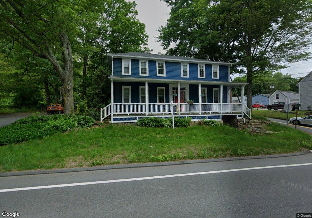
119 Route 2a Preston, CT 06365
Estimated Value: $224,000 - $348,157
5
Beds
2
Baths
2,184
Sq Ft
$143/Sq Ft
Est. Value
About This Home
This home is located at 119 Route 2a, Preston, CT 06365 and is currently estimated at $311,289, approximately $142 per square foot. 119 Route 2a is a home located in New London County with nearby schools including Integrated Day Charter School.
Ownership History
Date
Name
Owned For
Owner Type
Purchase Details
Closed on
Apr 30, 2025
Sold by
Au Ricky
Bought by
Dewey Jacob
Current Estimated Value
Purchase Details
Closed on
Jun 2, 2022
Sold by
Matsumoto Tadashi C and Matsumoto Carol J
Bought by
Au Ricky
Home Financials for this Owner
Home Financials are based on the most recent Mortgage that was taken out on this home.
Original Mortgage
$180,000
Interest Rate
5.25%
Mortgage Type
New Conventional
Purchase Details
Closed on
Oct 7, 2003
Sold by
Peck Keith
Bought by
Ziolowski Scot
Home Financials for this Owner
Home Financials are based on the most recent Mortgage that was taken out on this home.
Original Mortgage
$96,000
Interest Rate
6.25%
Mortgage Type
Purchase Money Mortgage
Create a Home Valuation Report for This Property
The Home Valuation Report is an in-depth analysis detailing your home's value as well as a comparison with similar homes in the area
Home Values in the Area
Average Home Value in this Area
Purchase History
| Date | Buyer | Sale Price | Title Company |
|---|---|---|---|
| Dewey Jacob | $340,000 | None Available | |
| Dewey Jacob | $340,000 | None Available | |
| Au Ricky | -- | None Available | |
| Au Ricky | -- | None Available | |
| Ziolowski Scot | $120,000 | -- | |
| Ziolowski Scot | $120,000 | -- |
Source: Public Records
Mortgage History
| Date | Status | Borrower | Loan Amount |
|---|---|---|---|
| Previous Owner | Au Ricky | $180,000 | |
| Previous Owner | Ziolowski Scot | $80,000 | |
| Previous Owner | Ziolowski Scot | $96,000 | |
| Previous Owner | Ziolowski Scot | $26,600 |
Source: Public Records
Tax History Compared to Growth
Tax History
| Year | Tax Paid | Tax Assessment Tax Assessment Total Assessment is a certain percentage of the fair market value that is determined by local assessors to be the total taxable value of land and additions on the property. | Land | Improvement |
|---|---|---|---|---|
| 2025 | $4,060 | $161,700 | $39,830 | $121,870 |
| 2024 | $3,779 | $161,700 | $39,830 | $121,870 |
| 2023 | $3,711 | $161,700 | $39,830 | $121,870 |
| 2022 | $3,137 | $112,500 | $32,600 | $79,900 |
| 2021 | $3,031 | $112,500 | $32,600 | $79,900 |
| 2020 | $3,026 | $112,500 | $32,600 | $79,900 |
| 2019 | $2,973 | $112,500 | $32,600 | $79,900 |
| 2018 | $2,928 | $112,500 | $32,600 | $79,900 |
| 2017 | $2,945 | $122,700 | $33,700 | $89,000 |
| 2016 | $2,914 | $122,700 | $33,700 | $89,000 |
| 2015 | $2,822 | $122,700 | $33,700 | $89,000 |
| 2014 | $2,839 | $122,700 | $33,700 | $89,000 |
Source: Public Records
Map
Nearby Homes
- 119 Connecticut 2a
- 119 Rt 2a Route
- 119 Route 2a
- 127 Route 2a
- 125 Route 2a
- 125 Route 2a Unit cottage - unit 2
- 117 Route 2a
- 3 Cider Mill Rd
- 120 Route 2a
- 118 Route 2a
- 1 Shingle Point Rd
- 126 Route 2a
- 115 Route 2a
- 122 Route 2a
- 113 Route 2a
- 129 Route 2a
- 5 Cider Mill Rd
- 130 Route 2a
- 13 Shingle Point Rd
- 116 Route 2a