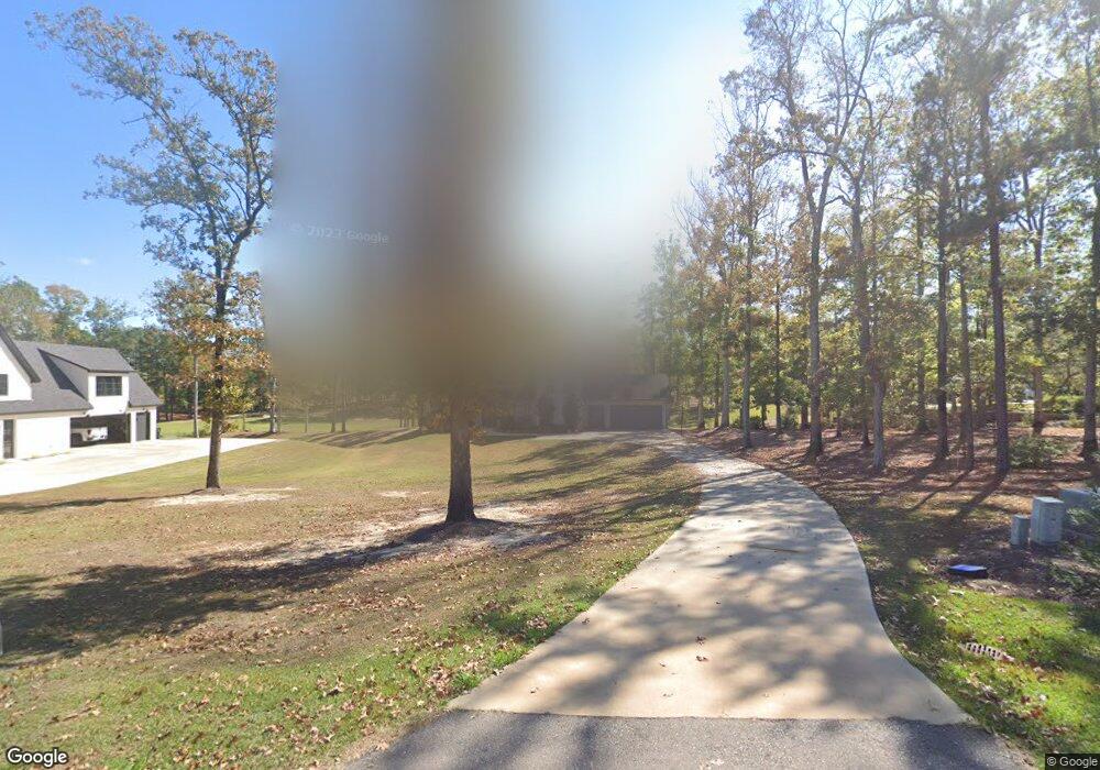
119 Saint Andrews Rd Calhoun, LA 71225
Estimated Value: $274,000 - $531,000
4
Beds
4
Baths
3,140
Sq Ft
$137/Sq Ft
Est. Value
About This Home
This home is located at 119 Saint Andrews Rd, Calhoun, LA 71225 and is currently estimated at $429,667, approximately $136 per square foot. 119 Saint Andrews Rd is a home located in Ouachita Parish with nearby schools including Calhoun Elementary School, Central Elementary School, and Calhoun Middle School.
Ownership History
Date
Name
Owned For
Owner Type
Purchase Details
Closed on
Aug 31, 2016
Sold by
Spillers James Ryan and Liner Spillers Linda Lynn
Bought by
Lovett David Matthew and Mudgett Lovett Myra Beth
Current Estimated Value
Purchase Details
Closed on
Feb 18, 2005
Sold by
Drew Partnership
Bought by
Spillers James Ryan and Spillers Linda Lynn Liner
Home Financials for this Owner
Home Financials are based on the most recent Mortgage that was taken out on this home.
Original Mortgage
$50,000,000
Interest Rate
5.71%
Mortgage Type
Future Advance Clause Open End Mortgage
Create a Home Valuation Report for This Property
The Home Valuation Report is an in-depth analysis detailing your home's value as well as a comparison with similar homes in the area
Home Values in the Area
Average Home Value in this Area
Purchase History
| Date | Buyer | Sale Price | Title Company |
|---|---|---|---|
| Lovett David Matthew | $37,000 | Attorney | |
| Spillers James Ryan | -- | None Available |
Source: Public Records
Mortgage History
| Date | Status | Borrower | Loan Amount |
|---|---|---|---|
| Previous Owner | Spillers James Ryan | $50,000,000 |
Source: Public Records
Tax History Compared to Growth
Tax History
| Year | Tax Paid | Tax Assessment Tax Assessment Total Assessment is a certain percentage of the fair market value that is determined by local assessors to be the total taxable value of land and additions on the property. | Land | Improvement |
|---|---|---|---|---|
| 2024 | $3,645 | $39,783 | $4,500 | $35,283 |
| 2023 | $3,645 | $38,440 | $4,500 | $33,940 |
| 2022 | $3,410 | $38,440 | $4,500 | $33,940 |
| 2021 | $3,453 | $38,440 | $4,500 | $33,940 |
| 2020 | $3,453 | $38,440 | $4,500 | $33,940 |
| 2019 | $3,236 | $36,137 | $4,500 | $31,637 |
| 2018 | $403 | $4,500 | $4,500 | $0 |
| 2017 | $403 | $4,500 | $4,500 | $0 |
| 2016 | $403 | $5,300 | $5,300 | $0 |
| 2015 | $473 | $5,300 | $5,300 | $0 |
| 2014 | $473 | $5,300 | $5,300 | $0 |
| 2013 | $472 | $5,300 | $5,300 | $0 |
Source: Public Records
Map
Nearby Homes
- 257 Sugarloaf Dr
- 0 Laguna Villas Dr
- 138 Mangum Ln
- 111 Yellow Pine Dr
- 131 Yellow Pine Dr
- 301 Pine Hills Dr
- 000 J T Griggs Rd Unit 454 J T Griggs Road
- 00 J T Griggs Rd Unit 454 J T Griggs Road
- 454 J T Griggs Rd
- 0 J T Griggs Rd Unit 454 J T Griggs Road
- 0 (A) Carter Rd
- 0 (B) Carter Rd
- 000 C Carter Rd
- 430 Pine Hills Dr
- 3235 Highway 15
- 1014 Highway 80 E
- 3375 Highway 15
- 137 Patricks Cove
- 144 Patricks Cove
- 154 Patricks Cove
- 117 Saint Andrews Rd
- 121 Saint Andrews Rd
- 115 Saint Andrews Rd
- 113 Saint Andrews Rd
- 116 Saint Andrews Dr
- 109 Saint Andrews Dr
- 114 Saint Andrews Rd
- 206 Saint Andrews Rd
- 206 Saint Andrews Dr
- 908 Hodge Watson Rd
- 112 Saint Andrews Dr
- 814 Hodge Watson Rd
- 906 Hodge Watson Rd
- 812 Hodge Watson Rd
- 904 Hodge Watson Rd
- 1400 Brownlee Rd
- 910 Hodge Watson Rd
- 810 Hodge Watson Rd
- 107 Saint Andrews Dr
- 808 Hodge Watson Rd