119 Simoncrest Dr Livermore, CO 80536
Estimated Value: $988,000 - $1,330,000
3
Beds
4
Baths
3,828
Sq Ft
$312/Sq Ft
Est. Value
About This Home
This home is located at 119 Simoncrest Dr, Livermore, CO 80536 and is currently estimated at $1,194,225, approximately $311 per square foot. 119 Simoncrest Dr is a home with nearby schools including Livermore Elementary School, Cache La Poudre Middle School, and Poudre High School.
Ownership History
Date
Name
Owned For
Owner Type
Purchase Details
Closed on
Aug 30, 2010
Sold by
Job Robert C
Bought by
Job Robert C and Job Louise C
Current Estimated Value
Purchase Details
Closed on
Jan 1, 1978
Bought by
Job Robert
Create a Home Valuation Report for This Property
The Home Valuation Report is an in-depth analysis detailing your home's value as well as a comparison with similar homes in the area
Purchase History
| Date | Buyer | Sale Price | Title Company |
|---|---|---|---|
| Job Robert C | -- | None Available | |
| Job Robert | $16,500 | -- |
Source: Public Records
Tax History
| Year | Tax Paid | Tax Assessment Tax Assessment Total Assessment is a certain percentage of the fair market value that is determined by local assessors to be the total taxable value of land and additions on the property. | Land | Improvement |
|---|---|---|---|---|
| 2025 | $7,082 | $78,306 | $11,250 | $67,056 |
| 2024 | $6,748 | $82,363 | $12,060 | $70,303 |
| 2022 | $4,307 | $51,410 | $8,688 | $42,722 |
| 2021 | $4,354 | $52,889 | $8,938 | $43,951 |
| 2020 | $3,776 | $46,476 | $5,792 | $40,684 |
| 2019 | $3,792 | $46,476 | $5,792 | $40,684 |
| 2018 | $3,303 | $44,064 | $5,832 | $38,232 |
| 2017 | $3,292 | $44,064 | $5,832 | $38,232 |
| 2016 | $3,058 | $42,045 | $6,448 | $35,597 |
| 2015 | $3,745 | $47,990 | $6,450 | $41,540 |
| 2014 | $3,888 | $43,370 | $6,450 | $36,920 |
Source: Public Records
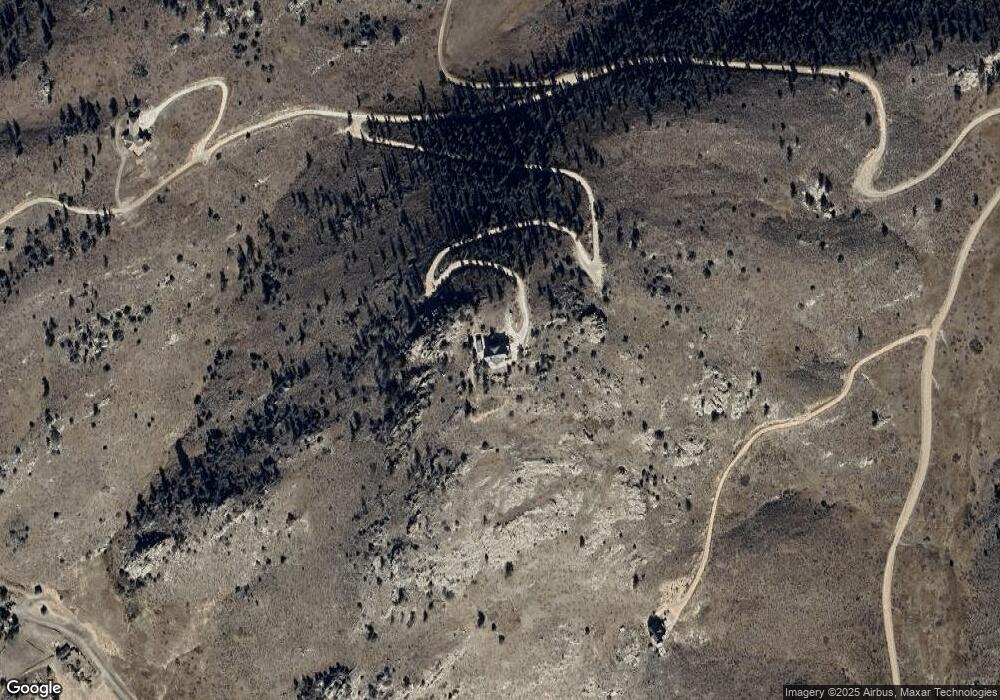
Map
Nearby Homes
- 1388 Mount Moriah Rd
- 1388 Mt Moriah Rd
- 90 Mount Axtell Dr
- 816 Meadow Way
- 609 Eiger Rd
- 23 E Quandary Ct
- 90 Sunlight Cir
- 79 Windom Ct
- 679 Mount Massive Dr
- 487 Laplata Dr
- 1191 Eiger Rd
- 556 Bald Mountain Dr
- 4360 Green Mountain Dr
- 151 Mount Massive Dr
- 1737 Eiger Rd
- 62 White Slide Mountain Ct
- 150 Mount Fisher Ct
- 569 Gordon Ct
- 1049 Hewlett Gulch Rd
- 419 Ute Peak Dr
- 339 Mount Simon Dr
- 0 Simoncrest Dr Unit 8000079
- 0 Simoncrest Dr Unit 908245
- 0 Simoncrest Dr Unit 9611154
- 0 Simoncrest Dr Unit 880615
- 200 Simoncrest Dr
- 414 Mount Simon Dr Unit ELK
- 11990 W County Road 74e
- 302 Simoncrest Dr
- 302 Simoncrest Dr
- 732 Mount Simon Dr
- 787 Mount Simon Dr
- 112 Banana Belt Ct
- 0 Eiger Rd
- 1 Eiger Rd
- 0 Mount Champion Dr Unit 921776
- 0 Mount Champion Dr
- 100 Mount Moriah Ct
- 482 Mount Moriah Rd
- 788 Mount Moriah Rd
Your Personal Tour Guide
Ask me questions while you tour the home.