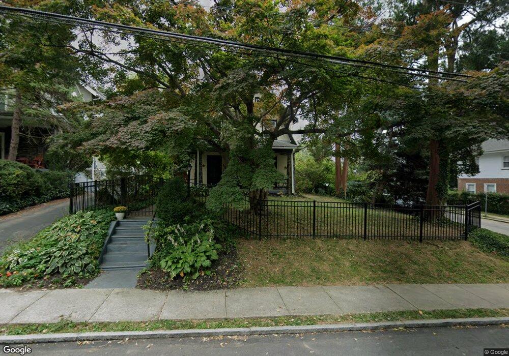
119 Simpson Rd Ardmore, PA 19003
Estimated Value: $574,450 - $721,000
4
Beds
2
Baths
1,826
Sq Ft
$358/Sq Ft
Est. Value
About This Home
This home is located at 119 Simpson Rd, Ardmore, PA 19003 and is currently estimated at $652,863, approximately $357 per square foot. 119 Simpson Rd is a home located in Montgomery County with nearby schools including Penn Valley School, Welsh Valley Middle School, and Lower Merion High School.
Ownership History
Date
Name
Owned For
Owner Type
Purchase Details
Closed on
Nov 26, 2008
Sold by
James Ian E and James Gaynor
Bought by
Whitney Katherine Clark
Current Estimated Value
Home Financials for this Owner
Home Financials are based on the most recent Mortgage that was taken out on this home.
Original Mortgage
$362,484
Outstanding Balance
$243,684
Interest Rate
6.49%
Estimated Equity
$409,179
Purchase Details
Closed on
Nov 23, 1994
Sold by
Gardiner Ronald and Magness Gardiner Bonnie
Bought by
James Ian E and James Gaynor
Create a Home Valuation Report for This Property
The Home Valuation Report is an in-depth analysis detailing your home's value as well as a comparison with similar homes in the area
Home Values in the Area
Average Home Value in this Area
Purchase History
| Date | Buyer | Sale Price | Title Company |
|---|---|---|---|
| Whitney Katherine Clark | $375,000 | None Available | |
| James Ian E | $172,500 | T A Title Insurance Company |
Source: Public Records
Mortgage History
| Date | Status | Borrower | Loan Amount |
|---|---|---|---|
| Open | Whitney Katherine Clark | $362,484 |
Source: Public Records
Tax History
| Year | Tax Paid | Tax Assessment Tax Assessment Total Assessment is a certain percentage of the fair market value that is determined by local assessors to be the total taxable value of land and additions on the property. | Land | Improvement |
|---|---|---|---|---|
| 2025 | $5,718 | $136,920 | $28,860 | $108,060 |
| 2024 | $5,718 | $136,920 | $28,860 | $108,060 |
| 2023 | $5,480 | $136,920 | $28,860 | $108,060 |
| 2022 | $5,378 | $136,920 | $28,860 | $108,060 |
| 2021 | $5,256 | $136,920 | $28,860 | $108,060 |
| 2020 | $5,127 | $136,920 | $28,860 | $108,060 |
| 2019 | $5,037 | $136,920 | $28,860 | $108,060 |
Source: Public Records
Map
Nearby Homes
- 140 Walnut Ave
- 145 Walnut Ave
- 132 Linwood Ave
- 124 Grandview Rd
- 116 Grandview Rd
- 222 Lippincott Ave
- 818 Clifford Ave
- 2757 Saint Marys Rd
- 86 Greenfield Ave
- 761 Hathaway Ln
- 201 Cobblestone Dr
- 1968 W Montgomery Ave
- 754 Oak View Rd
- 100 W Montgomery Ave Unit 1
- 1525 W Wynnewood Rd
- 724 Loraine St
- 22 Llanfair Rd Unit 1
- 111 E Montgomery Ave
- 15 Llanfair Rd Unit A
- 2432 Olcott Ave
- 117 Simpson Rd
- 127 Simpson Rd
- 120 Saint Pauls Rd
- 129 Simpson Rd
- 118 Saint Pauls Rd
- 115 Simpson Rd
- 116 Saint Pauls Rd
- 131 Simpson Rd
- 132 Saint Pauls Rd
- 133 Simpson Rd
- 111 Simpson Rd
- 114 Saint Pauls Rd
- 120 Simpson Rd
- 134 Saint Pauls Rd
- 122 Simpson Rd
- 124 Simpson Rd
- 116 Simpson Rd
- 137 Simpson Rd
- 126 Simpson Rd
- 112 Saint Pauls Rd
Your Personal Tour Guide
Ask me questions while you tour the home.