119 Snowbird Ln Cresco, PA 18326
Estimated Value: $476,646 - $570,000
5
Beds
3
Baths
2,714
Sq Ft
$191/Sq Ft
Est. Value
About This Home
This home is located at 119 Snowbird Ln, Cresco, PA 18326 and is currently estimated at $517,162, approximately $190 per square foot. 119 Snowbird Ln is a home with nearby schools including Swiftwater Interm School, Swiftwater Elementary Center, and Pocono Mountain East Junior High School.
Ownership History
Date
Name
Owned For
Owner Type
Purchase Details
Closed on
Sep 15, 2008
Sold by
Altemose Barry R and Altemose Connie S
Bought by
Tuttle Robert M and Tuttle Joanne M
Current Estimated Value
Home Financials for this Owner
Home Financials are based on the most recent Mortgage that was taken out on this home.
Original Mortgage
$125,000
Interest Rate
6.57%
Mortgage Type
Unknown
Purchase Details
Closed on
Apr 10, 2008
Sold by
Rainey Russell
Bought by
Altemose Barry R
Purchase Details
Closed on
Jul 12, 2006
Sold by
Strohlein Annette
Bought by
Rainey Russell
Home Financials for this Owner
Home Financials are based on the most recent Mortgage that was taken out on this home.
Original Mortgage
$30,150
Interest Rate
6.67%
Mortgage Type
Future Advance Clause Open End Mortgage
Create a Home Valuation Report for This Property
The Home Valuation Report is an in-depth analysis detailing your home's value as well as a comparison with similar homes in the area
Home Values in the Area
Average Home Value in this Area
Purchase History
| Date | Buyer | Sale Price | Title Company |
|---|---|---|---|
| Tuttle Robert M | $300,000 | None Available | |
| Altemose Barry R | $140,000 | None Available | |
| Rainey Russell | $54,500 | None Available |
Source: Public Records
Mortgage History
| Date | Status | Borrower | Loan Amount |
|---|---|---|---|
| Closed | Tuttle Robert M | $125,000 | |
| Previous Owner | Rainey Russell | $30,150 |
Source: Public Records
Tax History Compared to Growth
Tax History
| Year | Tax Paid | Tax Assessment Tax Assessment Total Assessment is a certain percentage of the fair market value that is determined by local assessors to be the total taxable value of land and additions on the property. | Land | Improvement |
|---|---|---|---|---|
| 2025 | $1,814 | $273,510 | $25,340 | $248,170 |
| 2024 | $1,441 | $273,510 | $25,340 | $248,170 |
| 2023 | $6,801 | $273,510 | $25,340 | $248,170 |
| 2022 | $6,680 | $273,510 | $25,340 | $248,170 |
| 2021 | $6,680 | $273,510 | $25,340 | $248,170 |
| 2020 | $6,680 | $273,510 | $25,340 | $248,170 |
| 2019 | $9,757 | $44,240 | $5,690 | $38,550 |
| 2018 | $7,268 | $44,240 | $5,690 | $38,550 |
| 2017 | $7,357 | $44,240 | $5,690 | $38,550 |
| 2016 | $1,283 | $44,240 | $5,690 | $38,550 |
| 2015 | -- | $44,240 | $5,690 | $38,550 |
| 2014 | -- | $44,240 | $5,690 | $38,550 |
Source: Public Records
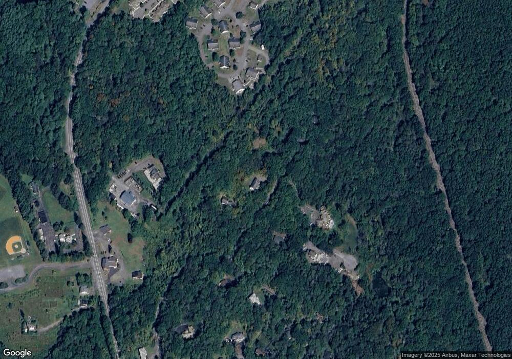
Map
Nearby Homes
- 104 Sonnys Trail
- 210 Grouse Run
- 6509 Route 191
- 201 Blackberry Dr
- 0 Route 191 Unit PWBPW243056
- 436 Cranberry Creek Rd
- 6656 Route 191
- 6663 Pennsylvania 191
- 157 Pine Tree Dr Unit 306
- 6683 Pennsylvania 191
- 6733 Route 191
- 4299 High Rd
- 349 Carlton Rd
- 4130 Mill Creek Dr
- 130 Barn Swallow Ln
- 642 Tulip Tree Ln
- 384 Devils Hole Rd
- 455 Laurel Pine Rd
- 781 White Oak Rd
- 612 Prices Dr