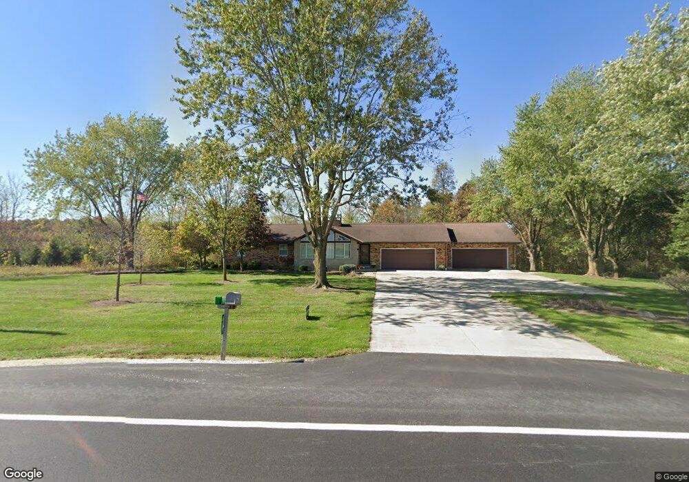
119 State Route 49 Fort Recovery, OH 45846
Estimated Value: $356,000 - $630,000
3
Beds
3
Baths
2,193
Sq Ft
$234/Sq Ft
Est. Value
About This Home
This home is located at 119 State Route 49, Fort Recovery, OH 45846 and is currently estimated at $512,433, approximately $233 per square foot. 119 State Route 49 is a home located in Mercer County with nearby schools including Fort Recovery Elementary School, Fort Recovery Middle School, and Fort Recovery High School.
Ownership History
Date
Name
Owned For
Owner Type
Purchase Details
Closed on
Aug 7, 2023
Sold by
Vogel Nicholas J and Vogel Chelsea L
Bought by
Schmitz Kyle F and Schmitz Kirsten V
Current Estimated Value
Home Financials for this Owner
Home Financials are based on the most recent Mortgage that was taken out on this home.
Original Mortgage
$424,000
Outstanding Balance
$414,157
Interest Rate
6.71%
Mortgage Type
New Conventional
Estimated Equity
$98,276
Purchase Details
Closed on
Dec 27, 2021
Sold by
Eichenauer Farms Inc
Bought by
Vogel Nicholas J and Vogel Chelsea L
Home Financials for this Owner
Home Financials are based on the most recent Mortgage that was taken out on this home.
Original Mortgage
$295,000
Interest Rate
2.98%
Mortgage Type
Commercial
Purchase Details
Closed on
Mar 21, 2000
Bought by
Eichenauer Farms Inc
Create a Home Valuation Report for This Property
The Home Valuation Report is an in-depth analysis detailing your home's value as well as a comparison with similar homes in the area
Home Values in the Area
Average Home Value in this Area
Purchase History
| Date | Buyer | Sale Price | Title Company |
|---|---|---|---|
| Schmitz Kyle F | $618,333 | None Listed On Document | |
| Vogel Nicholas J | $395,000 | None Available | |
| Eichenauer Farms Inc | $151,000 | -- |
Source: Public Records
Mortgage History
| Date | Status | Borrower | Loan Amount |
|---|---|---|---|
| Open | Schmitz Kyle F | $424,000 | |
| Previous Owner | Vogel Nicholas J | $295,000 |
Source: Public Records
Tax History Compared to Growth
Tax History
| Year | Tax Paid | Tax Assessment Tax Assessment Total Assessment is a certain percentage of the fair market value that is determined by local assessors to be the total taxable value of land and additions on the property. | Land | Improvement |
|---|---|---|---|---|
| 2024 | $3,423 | $121,980 | $21,040 | $100,940 |
| 2023 | $3,423 | $121,980 | $21,040 | $100,940 |
| 2022 | $3,338 | $89,110 | $17,080 | $72,030 |
| 2021 | $2,521 | $79,350 | $7,320 | $72,030 |
| 2020 | $2,517 | $78,440 | $6,410 | $72,030 |
| 2019 | $2,278 | $68,250 | $5,670 | $62,580 |
| 2018 | $2,362 | $68,250 | $5,670 | $62,580 |
| 2017 | $2,294 | $68,250 | $5,670 | $62,580 |
| 2016 | $2,208 | $65,000 | $5,460 | $59,540 |
| 2015 | $2,122 | $65,000 | $5,460 | $59,540 |
| 2014 | $2,157 | $65,000 | $5,460 | $59,540 |
| 2013 | $2,140 | $61,290 | $5,150 | $56,140 |
Source: Public Records
Map
Nearby Homes
- 201 W Wiggs St
- 304 S Wayne St
- 4475 Ohio 705
- 3709 Rossburg-Lightsville Rd
- 4543 Lange Rd
- 0 Ohio 118
- 1291 State Route 219
- 2729 S 300 E
- 0 County Road 400 N
- 3052 State Route 47
- 21 E Star Rd
- 420 S 1st St
- 1200 N Jackson Pike
- 820 Mary Ln
- 401 N Cedar St
- 63 Cassella-Montezuma Rd
- 45 Cassella Montezuma Rd
- 821 Butler St
- 912 Emerald Ave
- 509 Indiana 28