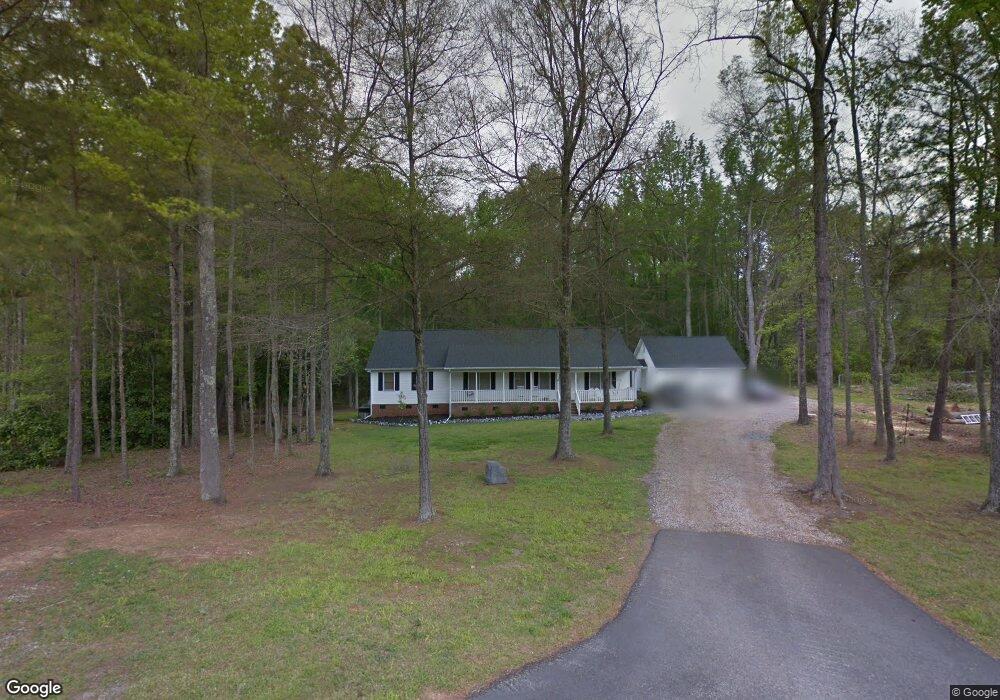
119 Stone Post Rd Rock Hill, SC 29730
Estimated Value: $295,000 - $385,000
--
Bed
--
Bath
1,876
Sq Ft
$185/Sq Ft
Est. Value
About This Home
This home is located at 119 Stone Post Rd, Rock Hill, SC 29730 and is currently estimated at $347,318, approximately $185 per square foot. 119 Stone Post Rd is a home located in York County with nearby schools including Lesslie Elementary School, Castle Heights Middle School, and Rock Hill High School.
Ownership History
Date
Name
Owned For
Owner Type
Purchase Details
Closed on
Oct 29, 2010
Sold by
Reece Matthew K and Reece Michelle A
Bought by
Cribb Donald S and Cribb Angela R
Current Estimated Value
Home Financials for this Owner
Home Financials are based on the most recent Mortgage that was taken out on this home.
Original Mortgage
$108,000
Outstanding Balance
$71,619
Interest Rate
4.37%
Mortgage Type
New Conventional
Estimated Equity
$275,699
Purchase Details
Closed on
Jul 24, 1998
Sold by
Walker Kevin S
Bought by
Reece Matthew K
Create a Home Valuation Report for This Property
The Home Valuation Report is an in-depth analysis detailing your home's value as well as a comparison with similar homes in the area
Home Values in the Area
Average Home Value in this Area
Purchase History
| Date | Buyer | Sale Price | Title Company |
|---|---|---|---|
| Cribb Donald S | $158,000 | -- | |
| Reece Matthew K | $117,000 | -- |
Source: Public Records
Mortgage History
| Date | Status | Borrower | Loan Amount |
|---|---|---|---|
| Open | Cribb Donald S | $108,000 |
Source: Public Records
Tax History Compared to Growth
Tax History
| Year | Tax Paid | Tax Assessment Tax Assessment Total Assessment is a certain percentage of the fair market value that is determined by local assessors to be the total taxable value of land and additions on the property. | Land | Improvement |
|---|---|---|---|---|
| 2024 | $1,062 | $7,567 | $980 | $6,587 |
| 2023 | $1,090 | $7,567 | $980 | $6,587 |
| 2022 | $1,093 | $7,567 | $980 | $6,587 |
| 2021 | -- | $7,567 | $980 | $6,587 |
| 2020 | $1,090 | $7,567 | $0 | $0 |
| 2019 | $994 | $6,580 | $0 | $0 |
| 2018 | $986 | $6,580 | $0 | $0 |
| 2017 | $929 | $6,580 | $0 | $0 |
| 2016 | $901 | $6,580 | $0 | $0 |
| 2014 | $808 | $6,580 | $1,120 | $5,460 |
| 2013 | $808 | $6,440 | $1,120 | $5,320 |
Source: Public Records
Map
Nearby Homes
- 2003 Capel Ct
- 3339 Lesslie Hwy Unit 2
- 111 Emily Crest Ln
- 281 Schoolside Dr
- 611 Pondway Downs
- 172 Neely Store Rd
- 1903 Manning Place
- 508 Bridgestone Ln
- 356 Emma Wood Ln
- 623 Neelys Creek Rd
- 161 Billy Claude Cir
- 1580 Anderson Rd S
- 141 Edenvale Rd
- 2510 Firetower Rd
- 355 Leisure Ln
- 3943 Walker Rd
- 3943 Walker Rd Unit LOT ONLY
- 3886 Lesslie Hwy
- 3943 Walker Road (Land Only)
- 1009 Rainbow Cir
- 125 Stone Post Rd
- 111 Stone Post Rd
- 135 Stone Post Rd
- 3278 Lesslie Hwy
- 3270 Lesslie Hwy
- 3320 Lesslie Hwy
- 103 Stone Post Rd
- 141 Stone Post Rd
- 142 Stone Post Rd
- 147 Stone Post Rd
- 152 Stone Post Rd
- 641 Lynville Ln
- 645 Lynville Ln
- 621 Lynville Ln
- 155 Stonepost Rd
- 617 Lynville Ln
- 613 Lynville Ln
- 649 Lynville Ln
- 164 Stone Post Rd
- 575 Lynville Ln