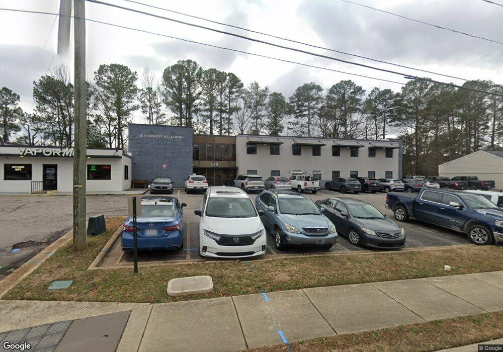
119 SW Maynard Rd Cary, NC 27511
South Cary NeighborhoodEstimated Value: $2,689,317
--
Bed
--
Bath
11,884
Sq Ft
$226/Sq Ft
Est. Value
About This Home
This home is located at 119 SW Maynard Rd, Cary, NC 27511 and is currently estimated at $2,689,317, approximately $226 per square foot. 119 SW Maynard Rd is a home located in Wake County with nearby schools including Briarcliff Elementary School, East Cary Middle School, and Cary High School.
Ownership History
Date
Name
Owned For
Owner Type
Purchase Details
Closed on
Jun 30, 2021
Sold by
Cary Ventures Llc
Bought by
Lj Capital Llc
Current Estimated Value
Home Financials for this Owner
Home Financials are based on the most recent Mortgage that was taken out on this home.
Original Mortgage
$1,413,720
Outstanding Balance
$1,282,732
Interest Rate
2.9%
Mortgage Type
Purchase Money Mortgage
Estimated Equity
$1,406,585
Purchase Details
Closed on
Jan 24, 2012
Sold by
Narron James W and Wilson James M
Bought by
Sugg Chesley W and Allen Amy S
Purchase Details
Closed on
May 21, 2010
Sold by
Sugg Jefferson L
Bought by
Sugg Jefferson L and Jefferson L Sugg Revocable Trust
Create a Home Valuation Report for This Property
The Home Valuation Report is an in-depth analysis detailing your home's value as well as a comparison with similar homes in the area
Home Values in the Area
Average Home Value in this Area
Purchase History
| Date | Buyer | Sale Price | Title Company |
|---|---|---|---|
| Lj Capital Llc | $2,020,000 | None Available | |
| Sugg Chesley W | -- | None Available | |
| Sugg Jefferson L | -- | None Available |
Source: Public Records
Mortgage History
| Date | Status | Borrower | Loan Amount |
|---|---|---|---|
| Open | Lj Capital Llc | $1,413,720 |
Source: Public Records
Tax History Compared to Growth
Tax History
| Year | Tax Paid | Tax Assessment Tax Assessment Total Assessment is a certain percentage of the fair market value that is determined by local assessors to be the total taxable value of land and additions on the property. | Land | Improvement |
|---|---|---|---|---|
| 2025 | $11,781 | $1,374,501 | $524,422 | $850,079 |
| 2024 | $11,525 | $1,374,501 | $524,422 | $850,079 |
| 2023 | $8,142 | $812,529 | $320,160 | $492,369 |
| 2022 | $7,837 | $812,529 | $320,160 | $492,369 |
| 2021 | $7,678 | $812,529 | $320,160 | $492,369 |
| 2020 | $7,719 | $812,529 | $320,160 | $492,369 |
| 2019 | $4,513 | $421,486 | $288,144 | $133,342 |
| 2018 | $4,233 | $421,486 | $288,144 | $133,342 |
| 2017 | $4,067 | $793,492 | $288,144 | $505,348 |
| 2016 | $7,542 | $793,492 | $288,144 | $505,348 |
| 2015 | $8,262 | $839,233 | $288,144 | $551,089 |
| 2014 | $7,788 | $839,233 | $288,144 | $551,089 |
Source: Public Records
Map
Nearby Homes
- 915 Ball Field Alley Unit 305
- 915 Ball Field Alley Unit 102
- 915 Ball Field Alley Unit 104
- 915 Ball Field Alley Unit 101
- 220 Gordon St
- 103 Kylie Savannah Ct
- 1004 Pond St
- 111 E Cornwall Rd
- 906 Griffis St
- 124 Twin Oaks Place
- 210 Twin Oaks Place
- 151 Lake Pine Dr Unit 1713B
- 104 Eagle Ct
- 512 New Kent Place Unit 512
- 802 Warren Ave
- 816 Ralph Dr
- 102 Climbing Ivy Ct
- 1305 Hampton Valley Rd
- 511 Normandy St
- 135 Drummond Place Unit 7C
- 119 SW Maynard Rd Unit 220
- 109 Kilmayne Dr
- 107 Kilmayne Dr
- 122 SW Maynard Rd Unit 122
- 128 SW Maynard Rd
- 123 Test
- 107 Fountain Brook Cir
- 207 Gordon St
- 109 Fountain Brook Cir
- 109 Fountain Brook Cir Unit B
- 200 SW Maynard Rd
- 201 SW Maynard Rd
- 110 Iowa Ln
- 919 Kildaire Farm Rd
- 301 Kilmayne Dr
- 160 Iowa Ln Unit 102
- 341 Kilmayne Dr Unit 101
- 341 Kilmayne Dr Unit 204
- 160 Iowa Ln
- 160 Iowa Ln Unit 102