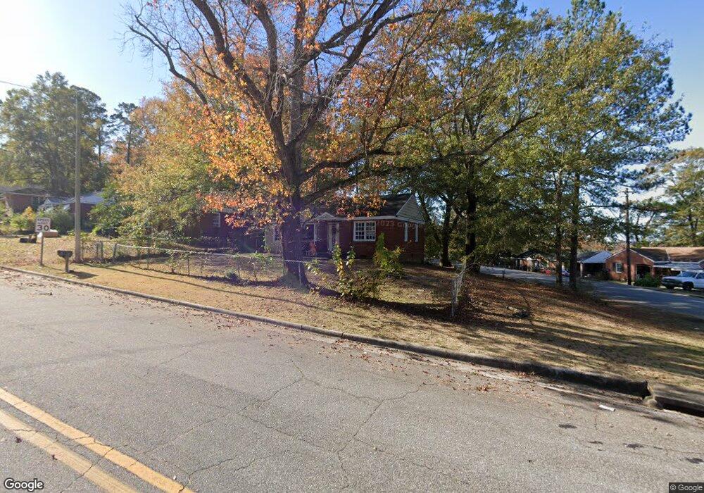
119 Torch Hill Rd Columbus, GA 31903
Southern Columbus NeighborhoodEstimated Value: $49,000 - $104,000
2
Beds
2
Baths
936
Sq Ft
$76/Sq Ft
Est. Value
About This Home
This home is located at 119 Torch Hill Rd, Columbus, GA 31903 and is currently estimated at $71,114, approximately $75 per square foot. 119 Torch Hill Rd is a home located in Muscogee County with nearby schools including Glenallen Elementary School, South Columbus Elementary School, and Eddy Middle School.
Ownership History
Date
Name
Owned For
Owner Type
Purchase Details
Closed on
May 30, 2014
Sold by
Scherr Bernie
Bought by
Scherr Bernie and Daniels Parker
Current Estimated Value
Purchase Details
Closed on
Oct 16, 2012
Sold by
The Right Grp Inc
Bought by
Tu Ai Jun
Purchase Details
Closed on
Aug 30, 2010
Sold by
Rp Investment Group Llc
Bought by
The Right Group Inc
Purchase Details
Closed on
Aug 18, 2010
Sold by
Knepper Mary E
Bought by
Rp Investment Group Llc
Create a Home Valuation Report for This Property
The Home Valuation Report is an in-depth analysis detailing your home's value as well as a comparison with similar homes in the area
Home Values in the Area
Average Home Value in this Area
Purchase History
| Date | Buyer | Sale Price | Title Company |
|---|---|---|---|
| Scherr Bernie | -- | -- | |
| Scherr Bernie | $9,000 | -- | |
| Tu Ai Jun | -- | -- | |
| The Right Group Inc | $21,600 | None Available | |
| Rp Investment Group Llc | $10,000 | None Available |
Source: Public Records
Tax History Compared to Growth
Tax History
| Year | Tax Paid | Tax Assessment Tax Assessment Total Assessment is a certain percentage of the fair market value that is determined by local assessors to be the total taxable value of land and additions on the property. | Land | Improvement |
|---|---|---|---|---|
| 2025 | $624 | $15,944 | $3,856 | $12,088 |
| 2024 | $787 | $17,460 | $3,352 | $14,108 |
| 2023 | $569 | $19,024 | $3,352 | $15,672 |
| 2022 | $590 | $14,456 | $3,352 | $11,104 |
| 2021 | $657 | $16,048 | $3,352 | $12,696 |
| 2020 | $655 | $16,048 | $3,352 | $12,696 |
| 2019 | $658 | $16,048 | $3,352 | $12,696 |
| 2018 | $658 | $16,048 | $3,352 | $12,696 |
| 2017 | $706 | $16,048 | $3,352 | $12,696 |
| 2016 | $248 | $6,000 | $2,693 | $3,307 |
| 2015 | $149 | $3,600 | $2,693 | $907 |
| 2014 | $253 | $15,314 | $2,693 | $12,621 |
| 2013 | -- | $15,314 | $2,693 | $12,621 |
Source: Public Records
Map
Nearby Homes
- 122 Torch Hill Rd
- 2320 Fort Benning Rd
- 27 Ticknor Dr
- 38 Ross Ave
- 41 Ticknor Dr
- 37 Mathews St
- 12 Stuart Dr
- 38 Douglas St
- 20 Patch Dr
- 125 Infantry Dr
- 2333 Bruce Ave
- 151 Munson Dr
- 3310 Albert St
- 2417 Manning Ave
- 2404 Bruce Ave
- 2353 Shelby St
- 2203 Simmons Ave
- 155 Munson Dr
- 13 Esquiline Dr
- 7 Esquiline Dr
- 121 Torch Hill Rd
- 11 Ticknor Dr
- 20 Ross Ave
- 123 Torch Hill Rd
- 15 Ticknor Dr
- 124 Torch Hill Rd
- 17 Ticknor Dr
- 120 Torch Hill Rd
- 125 Torch Hill Rd
- 22 Ross Ave
- 127 Torch Hill Rd
- 127 Torch Hill Rd Unit A-B
- 128 Torch Hill Rd
- 23 Mason Dr
- 24 Ross Ave
- 21 Mason Dr
- 25 Mason Dr
- 2310 Fort Benning Rd
- 19 Mason Dr
- 129 Torch Hill Rd