119 Tripp Dr Kings Mountain, NC 28086
Estimated Value: $73,000 - $230,000
--
Bed
--
Bath
--
Sq Ft
0.7
Acres
About This Home
This home is located at 119 Tripp Dr, Kings Mountain, NC 28086 and is currently estimated at $130,038. 119 Tripp Dr is a home located in Cleveland County with nearby schools including Bethware Elementary School, Kings Mountain Intermediate School, and Kings Mountain Middle.
Ownership History
Date
Name
Owned For
Owner Type
Purchase Details
Closed on
Feb 28, 2018
Sold by
Sanders Michael Scott and Sanders Brittany M
Bought by
Warren Mildred Jeanette
Current Estimated Value
Purchase Details
Closed on
May 10, 2010
Sold by
Woody Renee Ware and Woody Jason Brent
Bought by
Sanders Michael Scott and Mccready Brittany Ann
Home Financials for this Owner
Home Financials are based on the most recent Mortgage that was taken out on this home.
Original Mortgage
$63,135
Interest Rate
4.99%
Mortgage Type
Unknown
Create a Home Valuation Report for This Property
The Home Valuation Report is an in-depth analysis detailing your home's value as well as a comparison with similar homes in the area
Home Values in the Area
Average Home Value in this Area
Purchase History
| Date | Buyer | Sale Price | Title Company |
|---|---|---|---|
| Warren Mildred Jeanette | $53,500 | None Available | |
| Sanders Michael Scott | $22,000 | Chicago Title Gastonia |
Source: Public Records
Mortgage History
| Date | Status | Borrower | Loan Amount |
|---|---|---|---|
| Previous Owner | Sanders Michael Scott | $63,135 |
Source: Public Records
Tax History Compared to Growth
Tax History
| Year | Tax Paid | Tax Assessment Tax Assessment Total Assessment is a certain percentage of the fair market value that is determined by local assessors to be the total taxable value of land and additions on the property. | Land | Improvement |
|---|---|---|---|---|
| 2025 | $172 | $27,050 | $27,050 | $0 |
| 2024 | $124 | $15,656 | $15,656 | $0 |
| 2023 | $124 | $15,656 | $15,656 | $0 |
| 2022 | $124 | $15,656 | $15,656 | $0 |
| 2021 | $124 | $15,656 | $15,656 | $0 |
| 2020 | $126 | $15,197 | $15,197 | $0 |
| 2019 | $126 | $15,197 | $15,197 | $0 |
| 2018 | $376 | $15,197 | $15,197 | $0 |
| 2017 | $374 | $15,197 | $15,197 | $0 |
| 2016 | $354 | $15,197 | $15,197 | $0 |
| 2015 | $419 | $13,357 | $13,357 | $0 |
| 2014 | $444 | $13,357 | $13,357 | $0 |
Source: Public Records
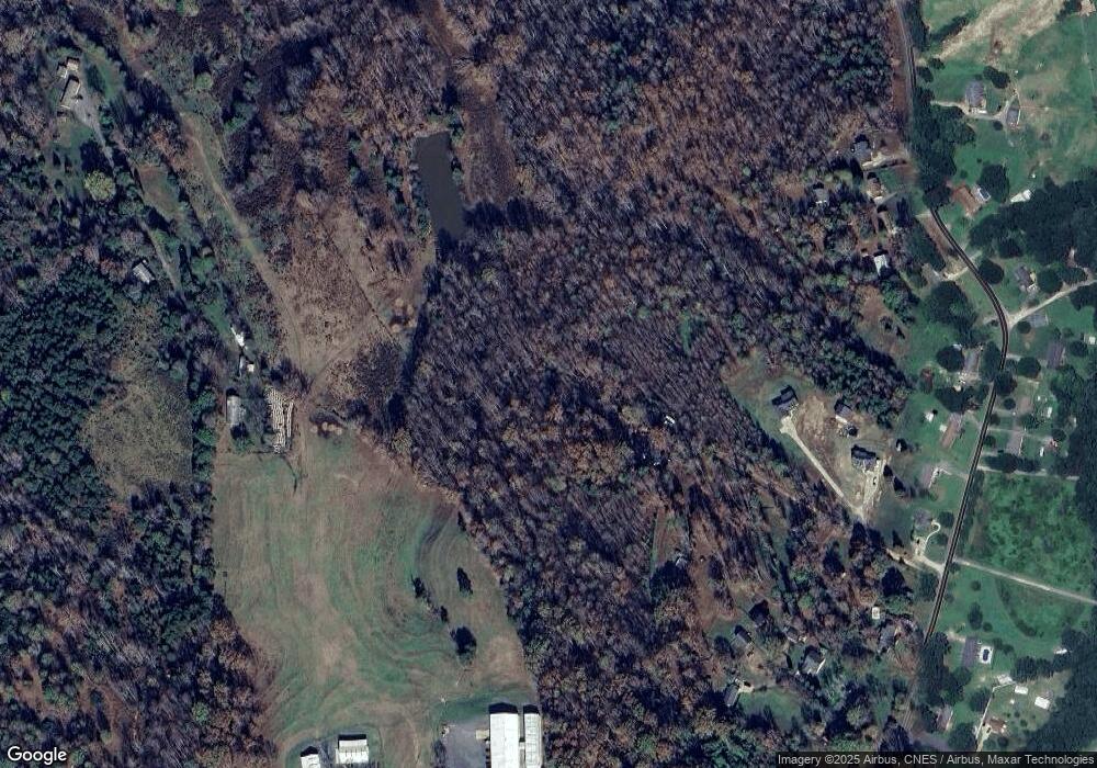
Map
Nearby Homes
- 100 Tripp Dr
- 105 Ager Dr
- 213 Press Sweezy Rd
- 956 Stony Point Rd
- 153 Harbourtown Dr
- 1238 Oak Grove Rd
- 608 Rollingbrook Rd
- 3367 Marshall Wolfe Rd
- 00 Bottom Rd Unit 1
- 00 Bottom Rd Unit 2
- 122 Bottom Rd
- 128 Harbourtown Dr
- 124 Rollingbrook Rd
- 111 Bottom Rd
- 106 Candlewood Dr
- 107 Muirfield Dr
- 110 Cypress Point Dr
- 116 Cypress Point Dr
- 236 Hoyles Rd
- 102 Starmount Dr