119 Twin Brook Ln Unit 119,4 Bellingham, MA 02019
Estimated Value: $321,000 - $465,000
2
Beds
2
Baths
960
Sq Ft
$405/Sq Ft
Est. Value
About This Home
This home is located at 119 Twin Brook Ln Unit 119,4, Bellingham, MA 02019 and is currently estimated at $388,486, approximately $404 per square foot. 119 Twin Brook Ln Unit 119,4 is a home located in Norfolk County with nearby schools including Stall Brook Elementary School, Bellingham High School, and Bethany Christian Academy.
Ownership History
Date
Name
Owned For
Owner Type
Purchase Details
Closed on
Jul 25, 2014
Sold by
Mitchell David J and Sledzik Jessica L
Bought by
Collins Erica L
Current Estimated Value
Home Financials for this Owner
Home Financials are based on the most recent Mortgage that was taken out on this home.
Original Mortgage
$198,365
Outstanding Balance
$151,208
Interest Rate
4.18%
Mortgage Type
New Conventional
Estimated Equity
$237,278
Purchase Details
Closed on
Mar 29, 2012
Sold by
Dimillo Kelly and Dimillo David
Bought by
Mitchell David J and Sledzik Jessica L
Purchase Details
Closed on
May 9, 2011
Sold by
Fnma
Bought by
Dimillo Kelly and Dimillo David
Purchase Details
Closed on
Sep 3, 2010
Sold by
Bickford Karyn J
Bought by
Federal National Mortgage Association
Purchase Details
Closed on
Apr 17, 2008
Sold by
Ferris Christina D and Ferris Jason R
Bought by
Bickford Karyn J
Home Financials for this Owner
Home Financials are based on the most recent Mortgage that was taken out on this home.
Original Mortgage
$171,800
Interest Rate
6.1%
Mortgage Type
Purchase Money Mortgage
Purchase Details
Closed on
Dec 5, 2005
Sold by
Zardeskas John J and Zardeskas Linda K
Bought by
Ferris Christina D and Ferris Jason R
Home Financials for this Owner
Home Financials are based on the most recent Mortgage that was taken out on this home.
Original Mortgage
$216,125
Interest Rate
6.14%
Mortgage Type
Purchase Money Mortgage
Purchase Details
Closed on
May 24, 2000
Sold by
Degrandpre Chris
Bought by
Zardeskas John J and Zardeskas Linda K
Home Financials for this Owner
Home Financials are based on the most recent Mortgage that was taken out on this home.
Original Mortgage
$137,650
Interest Rate
8.1%
Mortgage Type
Purchase Money Mortgage
Purchase Details
Closed on
Mar 17, 1998
Sold by
Gibbs Paul F and Gibbs Mary E
Bought by
Degranopre C
Create a Home Valuation Report for This Property
The Home Valuation Report is an in-depth analysis detailing your home's value as well as a comparison with similar homes in the area
Home Values in the Area
Average Home Value in this Area
Purchase History
| Date | Buyer | Sale Price | Title Company |
|---|---|---|---|
| Collins Erica L | $204,500 | -- | |
| Mitchell David J | $184,000 | -- | |
| Dimillo Kelly | $126,000 | -- | |
| Federal National Mortgage Association | $195,765 | -- | |
| Bickford Karyn J | $215,000 | -- | |
| Ferris Christina D | $227,500 | -- | |
| Zardeskas John J | $144,900 | -- | |
| Degranopre C | $84,500 | -- |
Source: Public Records
Mortgage History
| Date | Status | Borrower | Loan Amount |
|---|---|---|---|
| Open | Collins Erica L | $198,365 | |
| Previous Owner | Bickford Karyn J | $171,800 | |
| Previous Owner | Ferris Christina D | $216,125 | |
| Previous Owner | Degranopre C | $125,000 | |
| Previous Owner | Degranopre C | $137,000 | |
| Previous Owner | Degranopre C | $137,650 | |
| Previous Owner | Degranopre C | $80,000 |
Source: Public Records
Tax History Compared to Growth
Tax History
| Year | Tax Paid | Tax Assessment Tax Assessment Total Assessment is a certain percentage of the fair market value that is determined by local assessors to be the total taxable value of land and additions on the property. | Land | Improvement |
|---|---|---|---|---|
| 2025 | $3,809 | $303,300 | $0 | $303,300 |
| 2024 | $3,794 | $295,000 | $0 | $295,000 |
| 2023 | $3,543 | $271,500 | $0 | $271,500 |
| 2022 | $3,400 | $241,500 | $0 | $241,500 |
| 2021 | $3,278 | $227,500 | $0 | $227,500 |
| 2020 | $3,151 | $221,600 | $0 | $221,600 |
| 2019 | $2,744 | $193,100 | $0 | $193,100 |
| 2018 | $2,732 | $189,600 | $0 | $189,600 |
| 2017 | $2,590 | $180,600 | $0 | $180,600 |
| 2016 | $2,509 | $175,600 | $0 | $175,600 |
| 2015 | $2,502 | $175,600 | $0 | $175,600 |
| 2014 | $2,379 | $162,300 | $0 | $162,300 |
Source: Public Records
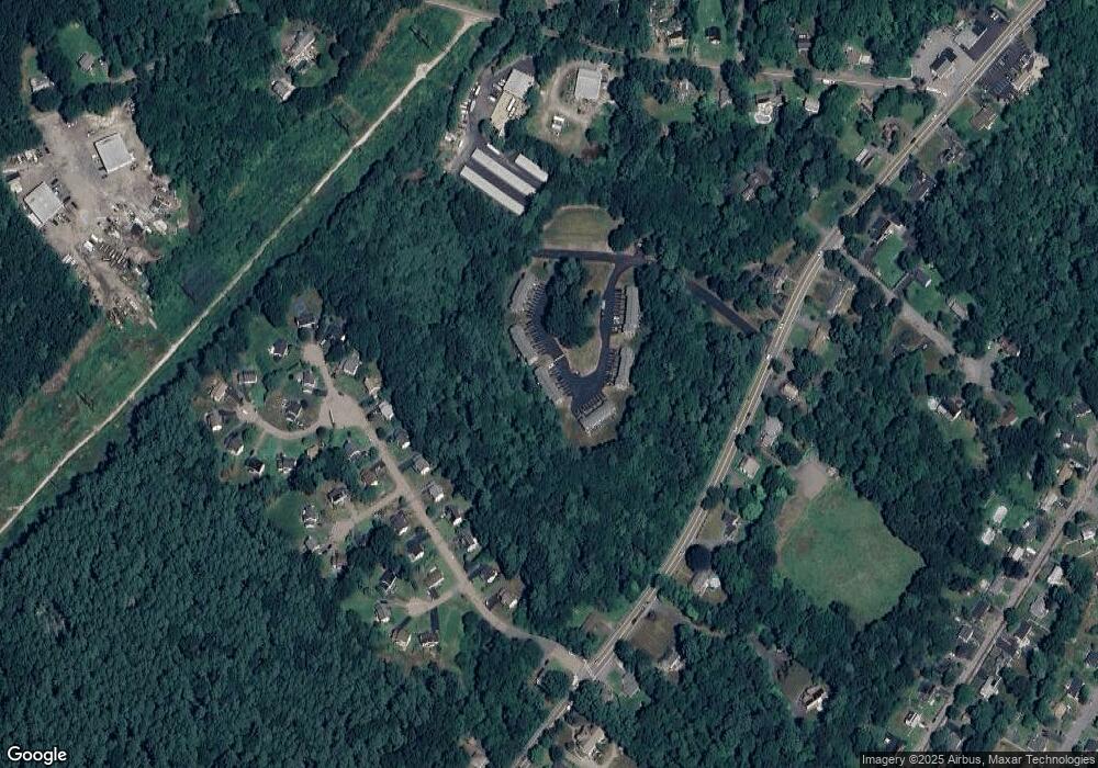
Map
Nearby Homes
- 0 Old Log Lane (Farm St) Unit 73416329
- 387 Hartford Ave
- 455 Hartford Ave
- 462 Hartford Ave
- 9 Tulip Way
- 39 West St
- 14 Hawthorne Village Unit D
- 22 Granite St
- 17 Pine St
- 18 Mary Anne Dr
- 29 Rawson Rd
- 951 Pond St
- 220 Main St Unit 220
- 6 Freedom Trail
- 5 Fales St
- 6 Rainbow Dr
- 21 Riverside Rd
- 4 Deerfield Rd
- 28 Wellington St
- 78 Fisher St
- 118 Twin Brook Ln
- 122 Twin Brook Ln
- 121 Twin Brook Ln
- 120 Twin Brook Ln
- 119 Twin Brook Ln
- 119 Twin Brook Ln Unit 119
- 125 Twin Brook Ln
- 124 Twin Brook Ln
- 127 Twin Brook Ln
- 126 Twin Brook Ln
- 123 Twin Brook Ln
- 123 Twin Brook Ln Unit 123
- 117 Twin Brook Ln
- 116 Twin Brook Ln
- 115 Twin Brook Ln
- 114 Twin Brook Ln
- 113 Twin Brook Ln
- 117 Twin Brook Ln Unit 117
- 110 Twin Brook Ln
- 112 Twin Brook Ln