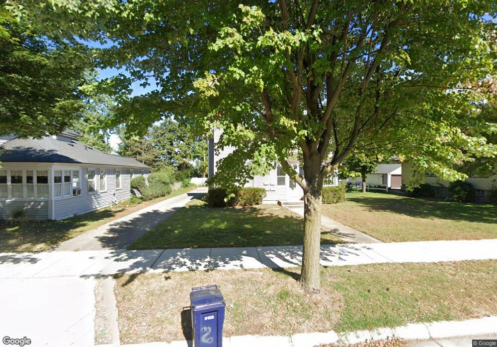
119 W 10th St Holland, MI 49423
Historic District NeighborhoodEstimated Value: $437,603 - $492,000
4
Beds
4
Baths
2,018
Sq Ft
$230/Sq Ft
Est. Value
About This Home
This home is located at 119 W 10th St, Holland, MI 49423 and is currently estimated at $464,401, approximately $230 per square foot. 119 W 10th St is a home located in Ottawa County with nearby schools including Holland High School, Vanderbilt Charter Academy, and Black River Public School Elementary.
Ownership History
Date
Name
Owned For
Owner Type
Purchase Details
Closed on
Jul 24, 2020
Sold by
Andrews Carol
Bought by
Vanslooten Jon and Kronemeyer Aaron H
Current Estimated Value
Home Financials for this Owner
Home Financials are based on the most recent Mortgage that was taken out on this home.
Original Mortgage
$200,000
Outstanding Balance
$177,676
Interest Rate
3.2%
Mortgage Type
New Conventional
Estimated Equity
$286,725
Purchase Details
Closed on
May 31, 2002
Sold by
Zwart Paul
Bought by
Andrews Carol and Garlinghouse Bruce
Purchase Details
Closed on
Sep 15, 1988
Sold by
Zwart Paul
Create a Home Valuation Report for This Property
The Home Valuation Report is an in-depth analysis detailing your home's value as well as a comparison with similar homes in the area
Home Values in the Area
Average Home Value in this Area
Purchase History
| Date | Buyer | Sale Price | Title Company |
|---|---|---|---|
| Vanslooten Jon | $275,000 | Chicago Title Of Mi Inc | |
| Andrews Carol | $200,000 | -- | |
| -- | $48,000 | -- |
Source: Public Records
Mortgage History
| Date | Status | Borrower | Loan Amount |
|---|---|---|---|
| Open | Vanslooten Jon | $200,000 |
Source: Public Records
Tax History Compared to Growth
Tax History
| Year | Tax Paid | Tax Assessment Tax Assessment Total Assessment is a certain percentage of the fair market value that is determined by local assessors to be the total taxable value of land and additions on the property. | Land | Improvement |
|---|---|---|---|---|
| 2025 | $8,486 | $190,200 | $0 | $0 |
| 2024 | $8,276 | $163,600 | $0 | $0 |
| 2023 | $7,948 | $140,100 | $0 | $0 |
| 2022 | $7,584 | $140,700 | $0 | $0 |
| 2021 | $7,365 | $122,900 | $0 | $0 |
| 2020 | $3,662 | $118,400 | $0 | $0 |
| 2019 | $3,653 | $85,600 | $0 | $0 |
| 2018 | $3,954 | $67,900 | $0 | $0 |
| 2017 | $3,848 | $67,900 | $0 | $0 |
| 2016 | $3,848 | $66,400 | $0 | $0 |
| 2015 | $3,779 | $66,100 | $0 | $0 |
| 2014 | $3,779 | $66,500 | $0 | $0 |
Source: Public Records
Map
Nearby Homes
- 276 Pine Ave
- 50 W 8th St Unit 403
- 186 W 12th St
- 192 W 12th St
- 230 W 11th St
- 17 W 10th St Unit 490
- 162 W 14th St
- 159 S River Ave Unit 504
- 159 S River Ave Unit 403
- 159 S River Ave Unit 305
- 159 S River Ave Unit 503
- 159 S River Ave Unit 303
- 159 S River Ave Unit 401
- 159 S River Ave Unit 306
- 159 S River Ave Unit 307
- 159 S River Ave Unit 502
- 159 S River Ave Unit 406
- 215 W 14th St
- 26 W 6th St
- 223 W 15th St