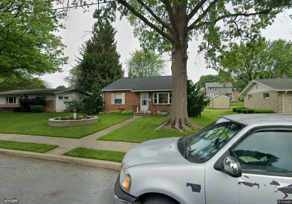
119 W Maple Ave Myerstown, PA 17067
Estimated Value: $201,000 - $216,000
3
Beds
1
Bath
1,558
Sq Ft
$135/Sq Ft
Est. Value
About This Home
This home is located at 119 W Maple Ave, Myerstown, PA 17067 and is currently estimated at $209,667, approximately $134 per square foot. 119 W Maple Ave is a home located in Lebanon County with nearby schools including Eastern Lebanon County Senior High School, Stony Ridge Parochial School, and Rocky Ledge School.
Ownership History
Date
Name
Owned For
Owner Type
Purchase Details
Closed on
May 6, 2009
Sold by
Gerhart Brock R and Gerhart Nicholle L
Bought by
Stodart Jean L
Current Estimated Value
Home Financials for this Owner
Home Financials are based on the most recent Mortgage that was taken out on this home.
Original Mortgage
$132,549
Outstanding Balance
$83,973
Interest Rate
4.9%
Mortgage Type
New Conventional
Estimated Equity
$125,694
Create a Home Valuation Report for This Property
The Home Valuation Report is an in-depth analysis detailing your home's value as well as a comparison with similar homes in the area
Home Values in the Area
Average Home Value in this Area
Purchase History
| Date | Buyer | Sale Price | Title Company |
|---|---|---|---|
| Stodart Jean L | $129,900 | None Available |
Source: Public Records
Mortgage History
| Date | Status | Borrower | Loan Amount |
|---|---|---|---|
| Open | Stodart Jean L | $132,549 |
Source: Public Records
Tax History Compared to Growth
Tax History
| Year | Tax Paid | Tax Assessment Tax Assessment Total Assessment is a certain percentage of the fair market value that is determined by local assessors to be the total taxable value of land and additions on the property. | Land | Improvement |
|---|---|---|---|---|
| 2025 | $3,098 | $118,600 | $21,200 | $97,400 |
| 2024 | $2,887 | $118,600 | $21,200 | $97,400 |
| 2023 | $2,855 | $118,600 | $21,200 | $97,400 |
| 2022 | $2,797 | $118,600 | $21,200 | $97,400 |
| 2021 | $2,684 | $118,600 | $21,200 | $97,400 |
| 2020 | $2,542 | $118,600 | $21,200 | $97,400 |
| 2019 | $2,531 | $118,600 | $21,200 | $97,400 |
| 2018 | $2,492 | $118,600 | $21,200 | $97,400 |
| 2017 | $390 | $118,600 | $21,200 | $97,400 |
| 2016 | $2,301 | $118,600 | $21,200 | $97,400 |
| 2015 | -- | $118,600 | $21,200 | $97,400 |
| 2014 | -- | $118,600 | $21,200 | $97,400 |
Source: Public Records
Map
Nearby Homes
- 13 E Maple Ave
- 312 W Main Ave
- 116 W Washington Ave
- 317 S Broad St
- 324 S Broad St
- 212 E Main Ave
- 651 W Lincoln Ave
- 544 N College St
- 106 Gable Dr
- 79 Gable Dr
- 188 Lengle Rd
- 608 E Lincoln Ave
- 31 Laurel Dr
- 39 Laurel Dr
- 1300 E Kercher Ave Unit 32
- 1300 E Kercher Ave
- 446 Stracks Dam Rd
- 505 Stracks Dam Rd
- 14 Firefly Dr
- 15 Lakeview Dr
- 115 W Maple Ave
- 125 W Maple Ave
- 120 W Maple Ave
- 114 W Park Ave
- 112 W Park Ave
- 160 W Maple Ave
- 110 W Maple Ave
- 110 W Park Ave
- 111 W Maple Ave
- 118 W Park Ave
- 199 W Maple Ave
- 108 W Park Ave
- 198 W Maple Ave
- 144 W Park Ave
- 106 W Maple Ave
- 124 W Park Ave
- 321 S College St
- 323 S College St
- 201 W Maple Ave
- 401 S College St