119 W Mountain Rd Ridgefield, CT 06877
Estimated Value: $1,181,078 - $1,323,000
4
Beds
4
Baths
2,808
Sq Ft
$450/Sq Ft
Est. Value
About This Home
This home is located at 119 W Mountain Rd, Ridgefield, CT 06877 and is currently estimated at $1,263,020, approximately $449 per square foot. 119 W Mountain Rd is a home located in Fairfield County with nearby schools including Scotts Ridge Middle School, Ridgefield High School, and Ridgefield Academy.
Ownership History
Date
Name
Owned For
Owner Type
Purchase Details
Closed on
Jul 26, 2002
Sold by
Beitz Joseph P and Beitz Ellen
Bought by
Berger Meryl and Goldstein Alan
Current Estimated Value
Purchase Details
Closed on
Sep 6, 1996
Sold by
Kelley Russell K and Kelley Elizabeth A
Bought by
Beitz Joseph and Beitz Ellen
Purchase Details
Closed on
Nov 14, 1988
Sold by
Mccauley Thom
Bought by
Kelley Russell
Create a Home Valuation Report for This Property
The Home Valuation Report is an in-depth analysis detailing your home's value as well as a comparison with similar homes in the area
Home Values in the Area
Average Home Value in this Area
Purchase History
| Date | Buyer | Sale Price | Title Company |
|---|---|---|---|
| Berger Meryl | $675,000 | -- | |
| Beitz Joseph | $430,000 | -- | |
| Kelley Russell | $403,000 | -- |
Source: Public Records
Mortgage History
| Date | Status | Borrower | Loan Amount |
|---|---|---|---|
| Open | Kelley Russell | $578,000 | |
| Closed | Kelley Russell | $15,934 | |
| Closed | Kelley Russell | $690,000 |
Source: Public Records
Tax History Compared to Growth
Tax History
| Year | Tax Paid | Tax Assessment Tax Assessment Total Assessment is a certain percentage of the fair market value that is determined by local assessors to be the total taxable value of land and additions on the property. | Land | Improvement |
|---|---|---|---|---|
| 2025 | $15,001 | $547,680 | $223,790 | $323,890 |
| 2024 | $14,247 | $540,680 | $223,790 | $316,890 |
| 2023 | $12,716 | $492,660 | $223,790 | $268,870 |
| 2022 | $11,044 | $388,470 | $149,140 | $239,330 |
| 2021 | $10,959 | $388,470 | $149,140 | $239,330 |
| 2020 | $10,924 | $388,470 | $149,140 | $239,330 |
| 2019 | $10,924 | $388,470 | $149,140 | $239,330 |
| 2018 | $10,792 | $388,470 | $149,140 | $239,330 |
| 2017 | $12,936 | $475,410 | $247,280 | $228,130 |
| 2016 | $12,689 | $475,410 | $247,280 | $228,130 |
| 2015 | $12,365 | $475,410 | $247,280 | $228,130 |
| 2014 | $12,365 | $475,410 | $247,280 | $228,130 |
Source: Public Records
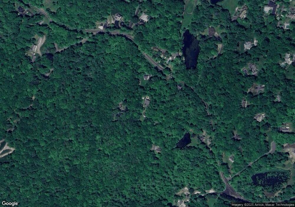
Map
Nearby Homes
- 71 Peaceable Ridge Rd
- 22 Ketcham Rd
- 88 Green Ln
- 381 W Mountain Rd
- 133 Boway Rd
- 75A New St
- 10 Hillcrest Ct
- 75 New St
- 33 N Salem Rd
- 0 Pound St Unit 113831
- 0 Pound St
- 151 North St
- 415 Barrack Hill Rd
- 40 North St
- 8 Stebbins Close Unit 8
- 2 Westmoreland Rd
- 261 North St
- 33 Truesdale Lake Dr
- 75 Lawson Ln
- 358 N Salem Rd
- 143 W Mountain Rd
- 111 W Mountain Rd
- 117 W Mountain Rd
- 128 W Mountain Rd
- 118 W Mountain Rd
- 81 W Mountain Rd
- 84 W Mountain Rd
- 8 Eleven Levels Rd
- 152 W Mountain Rd
- 25 Sharp Hill Ln
- 7 Eleven Levels Rd
- 5 Sharp Hill Ln
- 100 W Mountain Rd
- 16 Oscaleta Rd
- 1 Sharp Hill Ln
- 19 Eleven Levels Rd
- 18 Wild Turkey Ct
- 23 Sharp Hill Ln
- 28 Sharp Hill Ln
- 5 W Mountain Rd