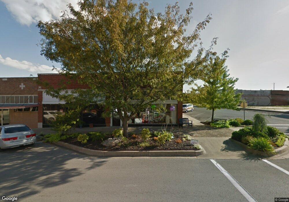
119 W Muskogee Ave Sulphur, OK 73086
Estimated Value: $264,589
--
Bed
2
Baths
1,750
Sq Ft
$151/Sq Ft
Est. Value
About This Home
This home is located at 119 W Muskogee Ave, Sulphur, OK 73086 and is currently estimated at $264,589, approximately $151 per square foot. 119 W Muskogee Ave is a home located in Murray County with nearby schools including Sulphur Elementary School, Sulphur Intermediate School, and Sulphur Middle School.
Ownership History
Date
Name
Owned For
Owner Type
Purchase Details
Closed on
Nov 19, 2021
Sold by
Bell Gary and Bell Jo Helen
Bought by
Hatchet Woman Llc
Current Estimated Value
Home Financials for this Owner
Home Financials are based on the most recent Mortgage that was taken out on this home.
Original Mortgage
$25,000
Outstanding Balance
$16,287
Interest Rate
2.99%
Mortgage Type
Purchase Money Mortgage
Estimated Equity
$248,302
Purchase Details
Closed on
Jul 1, 2013
Sold by
Duck Karen
Bought by
Bell Gary and Bell Jo Helen
Purchase Details
Closed on
May 19, 2006
Sold by
Wade Wallis Jeanne L and Wallis Arleigh R
Bought by
Duck Karen
Create a Home Valuation Report for This Property
The Home Valuation Report is an in-depth analysis detailing your home's value as well as a comparison with similar homes in the area
Home Values in the Area
Average Home Value in this Area
Purchase History
| Date | Buyer | Sale Price | Title Company |
|---|---|---|---|
| Hatchet Woman Llc | $190,000 | First American Title | |
| Bell Gary | $150,000 | None Available | |
| Duck Karen | $50,000 | None Available |
Source: Public Records
Mortgage History
| Date | Status | Borrower | Loan Amount |
|---|---|---|---|
| Open | Hatchet Woman Llc | $25,000 |
Source: Public Records
Tax History Compared to Growth
Tax History
| Year | Tax Paid | Tax Assessment Tax Assessment Total Assessment is a certain percentage of the fair market value that is determined by local assessors to be the total taxable value of land and additions on the property. | Land | Improvement |
|---|---|---|---|---|
| 2023 | $1,315 | $14,338 | $1,100 | $13,238 |
| 2022 | $1,883 | $20,900 | $1,100 | $19,800 |
| 2021 | $592 | $6,793 | $1,100 | $5,693 |
| 2020 | $563 | $6,469 | $1,100 | $5,369 |
| 2019 | $549 | $6,161 | $1,100 | $5,061 |
| 2018 | $529 | $5,868 | $1,100 | $4,768 |
| 2017 | $507 | $5,589 | $1,100 | $4,489 |
| 2016 | $512 | $5,500 | $855 | $4,645 |
| 2015 | $476 | $5,500 | $855 | $4,645 |
| 2014 | $485 | $5,500 | $855 | $4,645 |
Source: Public Records
Map
Nearby Homes
- 0 Eagle Unit 2530641
- 1 Eagle
- 0 Eagle Unit 2530643
- 6 N Cedar St N
- 0 W Broadway St
- 003 U S 177
- 005 U S 177
- 006 U S 177
- 2470 U S 177
- 001 U S 177
- 002 U S 177
- 100 E Broadway Ave
- 18 W Wynnewood Ave
- 0 0092-00-009-013-0-013-00 Unit 1187198
- 1220 Division St
- 1112 E 2nd St
- 129 W Tahlequah Ave
- 1301 Division St
- 128 W Tahlequah Ave
- 4 E Tahlequah Ave
- 117 W Muskogee Ave
- 120 W Muskogee Ave
- 1008 W 2nd St
- 000 Rd
- 1800 Rd
- 0000 Rd
- 219 W Muskogee Ave
- 0 Highway 7
- 0 Hwy 177 Unit 32157
- 0 Hwy 177 Unit 32962
- 0 Hwy 177 Unit 2418892
- 0 Hwy 177 Unit 2322929
- 0 Hwy 177 Unit 1830996
- 214 W Broadway Ave
- 1815 W Broadway Ave
- 2898 W Broadway St
- 106 W Broadway St
- 24942 Highway 177 N
- 24942 Highway 177 N
- 906 W 3rd St