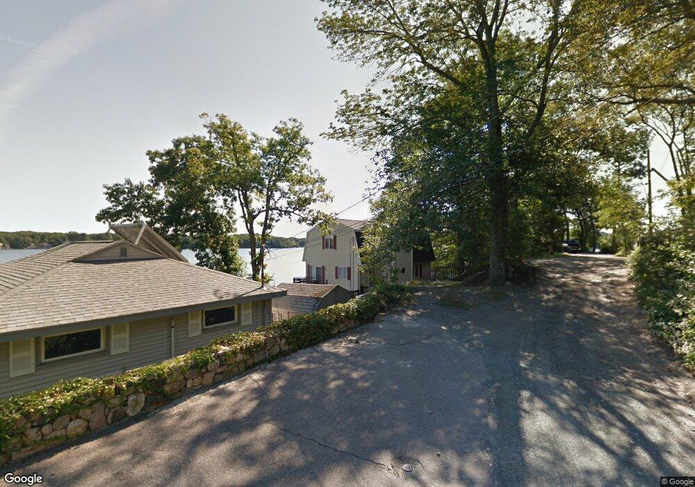
119 Woolford Rd Wrentham, MA 02093
Estimated Value: $661,000 - $828,000
2
Beds
2
Baths
1,464
Sq Ft
$489/Sq Ft
Est. Value
About This Home
This home is located at 119 Woolford Rd, Wrentham, MA 02093 and is currently estimated at $716,173, approximately $489 per square foot. 119 Woolford Rd is a home located in Norfolk County with nearby schools including Delaney Elementary School and Charles E Roderick.
Ownership History
Date
Name
Owned For
Owner Type
Purchase Details
Closed on
Jan 1, 2025
Sold by
Wrentham Pearl Rt and Hogan
Bought by
119 Woolford Road Llc
Current Estimated Value
Create a Home Valuation Report for This Property
The Home Valuation Report is an in-depth analysis detailing your home's value as well as a comparison with similar homes in the area
Home Values in the Area
Average Home Value in this Area
Purchase History
| Date | Buyer | Sale Price | Title Company |
|---|---|---|---|
| 119 Woolford Road Llc | -- | -- |
Source: Public Records
Tax History Compared to Growth
Tax History
| Year | Tax Paid | Tax Assessment Tax Assessment Total Assessment is a certain percentage of the fair market value that is determined by local assessors to be the total taxable value of land and additions on the property. | Land | Improvement |
|---|---|---|---|---|
| 2025 | $8,143 | $702,600 | $474,800 | $227,800 |
| 2024 | $8,130 | $677,500 | $474,800 | $202,700 |
| 2023 | $7,462 | $591,300 | $425,600 | $165,700 |
| 2022 | $6,693 | $489,600 | $350,100 | $139,500 |
| 2021 | $7,249 | $515,200 | $387,000 | $128,200 |
| 2020 | $7,684 | $539,200 | $393,900 | $145,300 |
| 2019 | $7,717 | $546,500 | $407,900 | $138,600 |
| 2018 | $7,210 | $506,300 | $368,000 | $138,300 |
| 2017 | $6,907 | $484,700 | $360,900 | $123,800 |
| 2016 | $6,739 | $471,900 | $350,500 | $121,400 |
| 2015 | $6,663 | $444,800 | $336,900 | $107,900 |
| 2014 | $6,551 | $427,900 | $324,000 | $103,900 |
Source: Public Records
Map
Nearby Homes
- 570 Franklin St
- 131 Creek St Unit 7
- Lot 3 - 14 Earle Stewart Ln
- Lot 1 - Blueberry 2 Car Plan at King Philip Estates
- Lot 8 - Blueberry 2 Car Plan at King Philip Estates
- Lot 5 - Hughes 2 car Plan at King Philip Estates
- Lot 6 - Blueberry 3 Car Plan at King Philip Estates
- Lot 2 - Camden 2 Car Plan at King Philip Estates
- Lot 7 - Cedar Plan at King Philip Estates
- Lot 4 - Hemingway 2 Car Plan at King Philip Estates
- Lot 3 - Blueberry 2 Car Plan at King Philip Estates
- 11 Earle Stewart Ln
- 440 Chestnut St
- 791 South St Unit 5
- 10 Nature View Dr
- 15 Nature View Dr
- 50 Reed Fulton Ave Unit Lot 61
- 6 Woodchester Rd
- 55 Lawrence Dr Unit 55
- 0 Fall Ln
- 115 Woolford Rd
- 123 Woolford Rd
- 107 Woolford Rd
- 127 Woolford Rd
- 118 Woolford Rd
- 133 Woolford Rd
- 101 Woolford Rd
- 121 Woolford Rd
- 155 Elysium St
- 91 Woolford Rd
- 85 Woolford Rd
- 159 Elysium St
- 159 Elysium St Unit B
- 159 Elysium St Unit 159
- 80 Woolford Rd
- 75 Woolford Rd
- 67 Woolford Rd
- 165 Elysium St
- 175 Elysium St
- 68 Woolford Rd