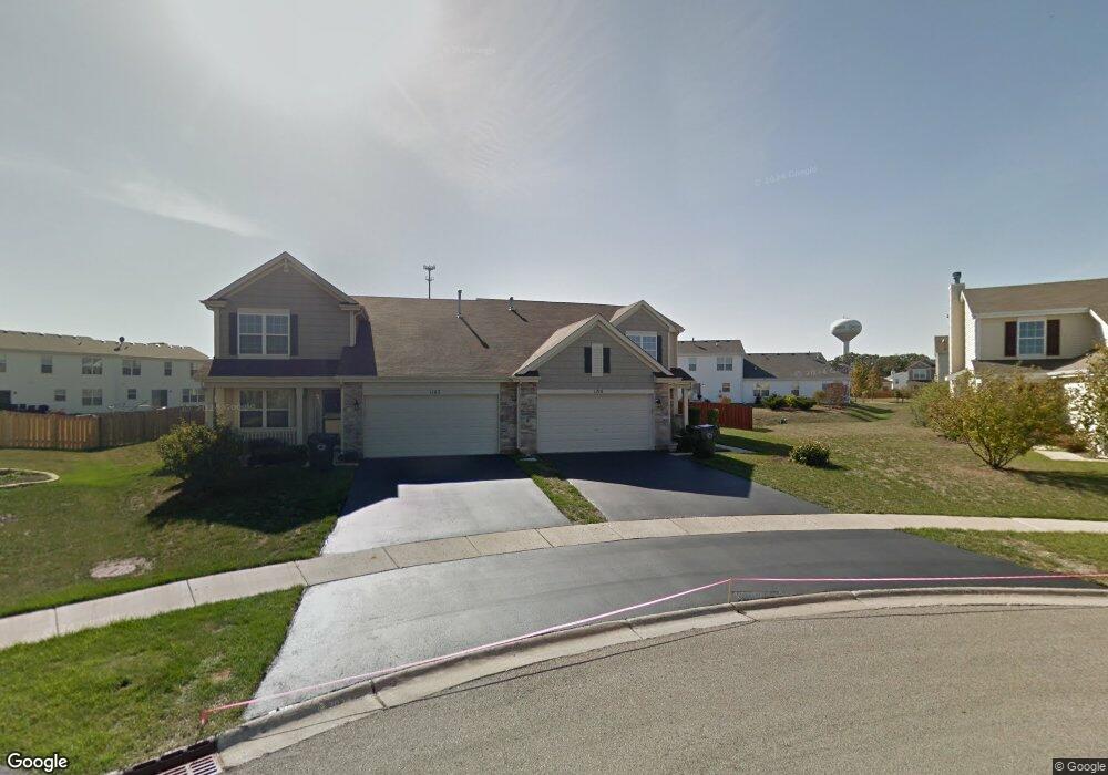
1190 Cape Cod Ln Pingree Grove, IL 60140
Estimated Value: $300,299 - $331,000
About This Home
This home is located at 1190 Cape Cod Ln, Pingree Grove, IL 60140 and is currently estimated at $312,825, approximately $188 per square foot. 1190 Cape Cod Ln is a home located in Kane County with nearby schools including Hampshire Middle School, Hampshire High School, and Cambridge Lakes Charter School.
Ownership History
We collect this data history from publicly available records. To have your information removed, we recommend requesting removal directly through your county’s website.
Purchase Details
Home Financials for this Owner
Home Financials are based on the most recent Mortgage that was taken out on this home.Home Values in the Area
Average Home Value in this Area
Purchase History
We collect this data history from publicly available records. To have your information removed, we recommend requesting removal directly through your county’s website.
| Date | Buyer | Sale Price | Title Company |
|---|---|---|---|
| $207,000 | First American Title |
Mortgage History
We collect this data history from publicly available records. To have your information removed, we recommend requesting removal directly through your county’s website.
| Date | Status | Borrower | Loan Amount |
|---|---|---|---|
| Open | $196,555 |
Tax History
We collect this data history from publicly available records. To have your information removed, we recommend requesting removal directly through your county’s website.
| Year | Tax Paid | Tax Assessment Tax Assessment Total Assessment is a certain percentage of the fair market value that is determined by local assessors to be the total taxable value of land and additions on the property. | Land | Improvement |
|---|---|---|---|---|
| 2024 | $5,592 | $82,927 | $20,937 | $61,990 |
| 2023 | $5,381 | $74,993 | $18,934 | $56,059 |
| 2022 | $5,437 | $69,143 | $17,457 | $51,686 |
| 2021 | $5,269 | $65,033 | $16,419 | $48,614 |
| 2020 | $5,168 | $63,373 | $16,000 | $47,373 |
| 2019 | $5,044 | $60,825 | $15,357 | $45,468 |
| 2018 | $4,962 | $58,132 | $14,413 | $43,719 |
| 2017 | $4,832 | $55,358 | $13,725 | $41,633 |
| 2016 | $4,784 | $52,701 | $13,066 | $39,635 |
| 2015 | -- | $49,774 | $12,340 | $37,434 |
| 2014 | -- | $49,627 | $12,193 | $37,434 |
| 2013 | -- | $50,537 | $12,417 | $38,120 |
Map
- 1889 Lake Bluff Ln
- 1863 Lake Bluff Ln
- 1250 Promontory Dr
- 1334 Promontory Dr
- 1709 Windward Dr
- 1670 Ruby Dr
- 1668 Ruby Dr
- 1634 Windward Dr
- 2220 Aurora Dr Unit 23
- 1587 Windward Dr
- 2305 Aurora Dr Unit 8
- 1566 Dublin Dr
- 2517 Alison Ave
- 1074 Chestnut Dr
- 1365 Broadland Dr
- 1196 Port Royal Rd
- 1417 Newport Cir
- 2442 Alison Ave
- 1355 Lighthouse Ln
- 1133 Daytona Way
- 1203 Spinnaker St
- 1945 Diamond Head Trail
- 1195 Spinnaker St
- 1937 Diamond Head Trail
- 1937 Diamond Head Trail Unit 1937
- 1187 Spinnaker St
- 1198 Cape Cod Ln
- 1929 Diamond Head Trail
- 1929 Diamond Head Trail Unit 1929
- 1179 Spinnaker St
- 1206 Cape Cod Ln
- 1942 Diamond Head Trail
- 1939 Diamond Head Trail
- 1921 Diamond Head Trail
- 1934 Diamond Head Trail
- 1950 Diamond Head Trail
- 1182 Cape Cod Ln
- 1222 Cape Cod Ln
- 1926 Diamond Head Trail
- 1230 Cape Cod Ln
Ask me questions while you tour the home.