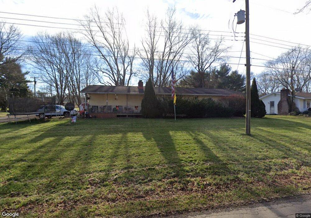
1190 Hull Rd Mansfield, OH 44903
Estimated Value: $115,000 - $185,000
3
Beds
1
Bath
1,144
Sq Ft
$133/Sq Ft
Est. Value
About This Home
This home is located at 1190 Hull Rd, Mansfield, OH 44903 and is currently estimated at $152,004, approximately $132 per square foot. 1190 Hull Rd is a home located in Richland County with nearby schools including Madison High School, Temple-Christian School, and St. Peter's Elementary/Montessori School.
Ownership History
Date
Name
Owned For
Owner Type
Purchase Details
Closed on
Oct 5, 2023
Sold by
Brannon Jamie L
Bought by
Brannon Ian M and Brannon Jamie L
Current Estimated Value
Home Financials for this Owner
Home Financials are based on the most recent Mortgage that was taken out on this home.
Original Mortgage
$80,000
Outstanding Balance
$74,887
Interest Rate
6.49%
Mortgage Type
New Conventional
Estimated Equity
$77,117
Create a Home Valuation Report for This Property
The Home Valuation Report is an in-depth analysis detailing your home's value as well as a comparison with similar homes in the area
Home Values in the Area
Average Home Value in this Area
Purchase History
| Date | Buyer | Sale Price | Title Company |
|---|---|---|---|
| Brannon Ian M | -- | Chicago Title | |
| Brannon Jamie L | $80,000 | Chicago Title |
Source: Public Records
Mortgage History
| Date | Status | Borrower | Loan Amount |
|---|---|---|---|
| Open | Brannon Jamie L | $80,000 |
Source: Public Records
Tax History
| Year | Tax Paid | Tax Assessment Tax Assessment Total Assessment is a certain percentage of the fair market value that is determined by local assessors to be the total taxable value of land and additions on the property. | Land | Improvement |
|---|---|---|---|---|
| 2025 | $1,667 | $37,040 | $6,550 | $30,490 |
| 2024 | $1,667 | $37,040 | $6,550 | $30,490 |
| 2023 | $1,796 | $37,040 | $6,550 | $30,490 |
| 2022 | $1,103 | $28,950 | $5,850 | $23,100 |
| 2021 | $1,102 | $28,950 | $5,850 | $23,100 |
| 2020 | $1,111 | $28,950 | $5,850 | $23,100 |
| 2019 | $976 | $24,530 | $4,960 | $19,570 |
| 2018 | $912 | $24,530 | $4,960 | $19,570 |
| 2017 | $1,406 | $24,530 | $4,960 | $19,570 |
| 2016 | $1,462 | $24,290 | $4,710 | $19,580 |
| 2015 | $1,423 | $24,290 | $4,710 | $19,580 |
| 2014 | $1,390 | $24,290 | $4,710 | $19,580 |
| 2012 | $691 | $25,570 | $4,960 | $20,610 |
Source: Public Records
Map
Nearby Homes
- 1715 Mansfield Lucas Rd
- 2011 Ohio 39
- 0 State Route 39 & I-71 Southeast Quadrant
- 0 State Route 39 & I-71 Northeast Quadrant
- 625 Mansfield Lucas Rd
- 794 Mansfield Washington Rd
- 59 Ridge Rd S
- 57 S Walker Ave
- 392 Gem Ave
- 62 Bahl Ave
- 832 Park Ave E
- 822 Park Ave E
- 0 Mcelroy Rd
- 410 Birdcage Walk
- 138 Cliffbrook Dr
- 475 Beethoven St
- 571 Luther St
- 1303 Park Ave E
- 0 North St Unit 9072753
- 519 S Diamond St
Your Personal Tour Guide
Ask me questions while you tour the home.