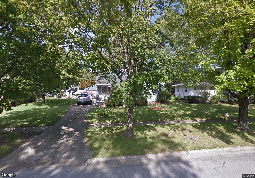
1190 Simpson Dr Columbus, OH 43227
Estimated Value: $129,000 - $181,000
3
Beds
1
Bath
912
Sq Ft
$174/Sq Ft
Est. Value
About This Home
This home is located at 1190 Simpson Dr, Columbus, OH 43227 and is currently estimated at $158,613, approximately $173 per square foot. 1190 Simpson Dr is a home located in Franklin County with nearby schools including Shady Lane Elementary School, Sherwood Middle School, and Walnut Ridge High School.
Ownership History
Date
Name
Owned For
Owner Type
Purchase Details
Closed on
Jul 11, 2022
Sold by
Maxwell Steven R
Bought by
Tez Investments Llc
Current Estimated Value
Purchase Details
Closed on
Nov 17, 1995
Sold by
Lipps Robert S
Bought by
Steven R Maxwell
Home Financials for this Owner
Home Financials are based on the most recent Mortgage that was taken out on this home.
Original Mortgage
$62,750
Interest Rate
7.65%
Mortgage Type
FHA
Purchase Details
Closed on
Nov 10, 1987
Purchase Details
Closed on
Sep 1, 1985
Create a Home Valuation Report for This Property
The Home Valuation Report is an in-depth analysis detailing your home's value as well as a comparison with similar homes in the area
Home Values in the Area
Average Home Value in this Area
Purchase History
| Date | Buyer | Sale Price | Title Company |
|---|---|---|---|
| Tez Investments Llc | $130,000 | Title Connect | |
| Steven R Maxwell | $63,000 | -- | |
| -- | $53,000 | -- | |
| -- | -- | -- |
Source: Public Records
Mortgage History
| Date | Status | Borrower | Loan Amount |
|---|---|---|---|
| Previous Owner | Steven R Maxwell | $62,750 |
Source: Public Records
Tax History
| Year | Tax Paid | Tax Assessment Tax Assessment Total Assessment is a certain percentage of the fair market value that is determined by local assessors to be the total taxable value of land and additions on the property. | Land | Improvement |
|---|---|---|---|---|
| 2025 | $2,085 | $45,500 | $16,590 | $28,910 |
| 2024 | $2,085 | $45,500 | $16,590 | $28,910 |
| 2023 | $2,587 | $57,155 | $16,590 | $40,565 |
| 2022 | $1,325 | $25,550 | $6,230 | $19,320 |
| 2021 | $1,328 | $25,550 | $6,230 | $19,320 |
| 2020 | $1,329 | $25,550 | $6,230 | $19,320 |
| 2019 | $1,240 | $20,440 | $4,970 | $15,470 |
| 2018 | $1,277 | $20,440 | $4,970 | $15,470 |
| 2017 | $1,345 | $20,440 | $4,970 | $15,470 |
| 2016 | $1,451 | $21,910 | $4,900 | $17,010 |
| 2015 | $1,318 | $21,910 | $4,900 | $17,010 |
| 2014 | $1,321 | $21,910 | $4,900 | $17,010 |
| 2013 | $767 | $25,795 | $5,775 | $20,020 |
Source: Public Records
Map
Nearby Homes
- 1229 Simpson Dr
- 1243 Simpson Dr
- 1284 Thurston Dr
- 1193 Marble Dr
- 1281 Maetzel Dr
- 1211 Shady Lane Rd
- 1085 S Hamilton Rd
- 4467 Grimsby Rd
- 1301 Bernhard Rd
- 1260 Country Club Rd
- 4472 Aragon Ave
- 1310 Manfeld Dr
- 1116 Elaine Rd
- 4308 E Main St Unit 1
- 963 Erickson Ave
- 4677 E Livingston Ave
- 4859 Folger Dr
- 1370 Erickson Rd
- 4623 Langley Ave
- 1607 Baxter Dr
- 1198 Simpson Dr
- 4585 Ludington Rd
- 1180 Simpson Dr
- 1206 Simpson Dr
- 4603 Ludington Rd
- 1199 Simpson Dr
- 1189 Simpson Dr
- 1212 Simpson Dr
- 1205 Simpson Dr
- 4588 Ludington Rd
- 1181 Simpson Dr
- 4611 Ludington Rd
- 1220 Simpson Dr
- 1213 Simpson Dr
- 4574 Ludington Rd
- 1175 Simpson Dr
- 4568 Ludington Rd
- 4619 Ludington Rd
- 4604 Ludington Rd
- 1221 Simpson Dr
Your Personal Tour Guide
Ask me questions while you tour the home.