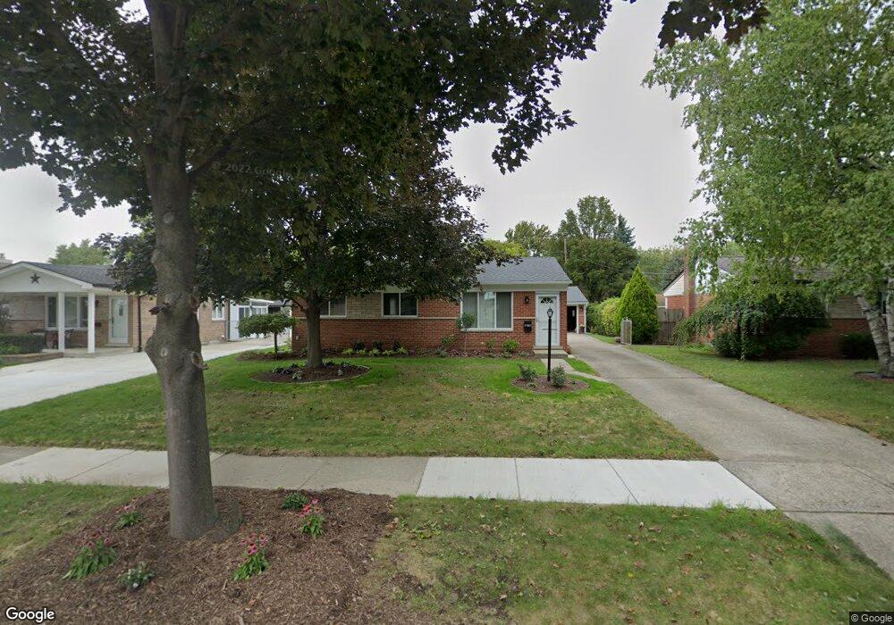
11901 Danforth Dr Sterling Heights, MI 48312
Estimated Value: $247,634 - $267,000
Studio
1
Bath
925
Sq Ft
$278/Sq Ft
Est. Value
About This Home
This home is located at 11901 Danforth Dr, Sterling Heights, MI 48312 and is currently estimated at $257,159, approximately $278 per square foot. 11901 Danforth Dr is a home located in Macomb County with nearby schools including Hardeman Elementary School, Oakbrook Elementary School, and Heritage Junior High School.
Ownership History
Date
Name
Owned For
Owner Type
Purchase Details
Closed on
May 30, 2023
Sold by
Barr Sharon
Bought by
Sharon M Barr Revocable Living Trust and Barr
Current Estimated Value
Purchase Details
Closed on
Nov 15, 2004
Sold by
Nenni Kathie A
Bought by
Barr Sharon and Hrynkiw Sharon
Home Financials for this Owner
Home Financials are based on the most recent Mortgage that was taken out on this home.
Original Mortgage
$101,000
Interest Rate
5.86%
Mortgage Type
Purchase Money Mortgage
Create a Home Valuation Report for This Property
The Home Valuation Report is an in-depth analysis detailing your home's value as well as a comparison with similar homes in the area
Home Values in the Area
Average Home Value in this Area
Purchase History
| Date | Buyer | Sale Price | Title Company |
|---|---|---|---|
| Sharon M Barr Revocable Living Trust | -- | None Listed On Document | |
| Barr Sharon | $151,000 | -- |
Source: Public Records
Mortgage History
| Date | Status | Borrower | Loan Amount |
|---|---|---|---|
| Previous Owner | Barr Sharon | $101,000 |
Source: Public Records
Tax History Compared to Growth
Tax History
| Year | Tax Paid | Tax Assessment Tax Assessment Total Assessment is a certain percentage of the fair market value that is determined by local assessors to be the total taxable value of land and additions on the property. | Land | Improvement |
|---|---|---|---|---|
| 2025 | $2,225 | $111,200 | $0 | $0 |
| 2024 | $21 | $104,600 | $0 | $0 |
| 2023 | $1,987 | $94,500 | $0 | $0 |
| 2022 | $2,071 | $86,300 | $0 | $0 |
| 2021 | $2,028 | $81,500 | $0 | $0 |
| 2020 | $1,809 | $77,100 | $0 | $0 |
| 2019 | $1,853 | $73,200 | $0 | $0 |
| 2018 | $1,876 | $65,800 | $0 | $0 |
| 2017 | $1,791 | $63,200 | $15,000 | $48,200 |
| 2016 | $1,730 | $63,200 | $0 | $0 |
| 2015 | -- | $56,400 | $0 | $0 |
| 2014 | -- | $46,600 | $0 | $0 |
Source: Public Records
Map
Nearby Homes
- 12457 Lyford Dr
- 11503 Anna Lisa Dr
- 38011 Alcoy Dr
- 13193 Metro Pkwy
- 11434 Francis Dr
- 37122 Clubhouse Dr
- 13000 Plumbrook Rd
- 36738 Vine Dr
- 11425 Plumbrook Rd
- 36635 Kenneth Ct
- 36460 Tarpon Dr
- 13201 Cloverlawn Dr
- 36737 Lanigan Dr
- 38113 Lordstown Dr Unit 43
- 11654 Cavalier Dr
- 39044 Dodge Park Rd
- 12816 Kinlock Dr
- 13311 Picadilly Dr
- 11266 Plumbrook Rd
- 13470 Denver Cir E
- 11917 Danforth Dr
- 11885 Danforth Dr
- 12080 Amber Ct
- 11869 Danforth Dr
- 11933 Danforth Dr
- 12086 Amber Ct
- 12074 Amber Ct
- 11853 Danforth Dr
- 11949 Danforth Dr
- 11896 Danforth Dr
- 11912 Danforth Dr
- 11880 Danforth Dr
- 11928 Danforth Dr
- 12092 Amber Ct
- 11844 Fairview Dr
- 11832 Fairview Dr
- 11864 Danforth Dr
- 11837 Danforth Dr
- 11942 Danforth Dr
- 11965 Danforth Dr