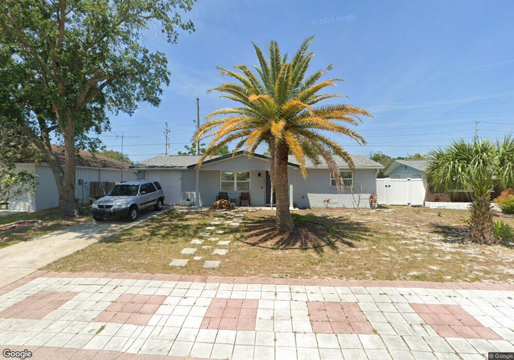
11901 Enterprise Dr Port Richey, FL 34668
Estimated Value: $161,344 - $207,000
2
Beds
1
Bath
936
Sq Ft
$196/Sq Ft
Est. Value
About This Home
This home is located at 11901 Enterprise Dr, Port Richey, FL 34668 and is currently estimated at $183,586, approximately $196 per square foot. 11901 Enterprise Dr is a home located in Pasco County with nearby schools including Gulf Highlands Elementary School, Bayonet Point Middle School, and Fivay High School.
Ownership History
Date
Name
Owned For
Owner Type
Purchase Details
Closed on
Feb 25, 2003
Sold by
Tetrault Teresa A
Bought by
Lesinewski Mezuzah M
Current Estimated Value
Home Financials for this Owner
Home Financials are based on the most recent Mortgage that was taken out on this home.
Original Mortgage
$47,920
Outstanding Balance
$20,433
Interest Rate
5.89%
Mortgage Type
Purchase Money Mortgage
Estimated Equity
$163,153
Create a Home Valuation Report for This Property
The Home Valuation Report is an in-depth analysis detailing your home's value as well as a comparison with similar homes in the area
Home Values in the Area
Average Home Value in this Area
Purchase History
| Date | Buyer | Sale Price | Title Company |
|---|---|---|---|
| Lesinewski Mezuzah M | $62,000 | -- |
Source: Public Records
Mortgage History
| Date | Status | Borrower | Loan Amount |
|---|---|---|---|
| Open | Lesinewski Mezuzah M | $47,920 |
Source: Public Records
Tax History Compared to Growth
Tax History
| Year | Tax Paid | Tax Assessment Tax Assessment Total Assessment is a certain percentage of the fair market value that is determined by local assessors to be the total taxable value of land and additions on the property. | Land | Improvement |
|---|---|---|---|---|
| 2025 | $2,171 | $143,931 | $33,150 | $110,781 |
| 2024 | $2,171 | $146,580 | $33,150 | $113,430 |
| 2023 | $2,106 | $85,420 | $0 | $0 |
| 2022 | $1,651 | $114,096 | $19,737 | $94,359 |
| 2021 | $1,447 | $87,254 | $14,790 | $72,464 |
| 2020 | $1,324 | $78,084 | $6,885 | $71,199 |
| 2019 | $1,237 | $72,253 | $6,885 | $65,368 |
| 2018 | $1,093 | $57,950 | $6,885 | $51,065 |
| 2017 | $1,000 | $48,235 | $6,885 | $41,350 |
| 2016 | $247 | $30,025 | $0 | $0 |
| 2015 | $245 | $29,816 | $0 | $0 |
| 2014 | $230 | $31,455 | $6,885 | $24,570 |
Source: Public Records
Map
Nearby Homes
- 7519 Kensico Dr
- 7535 Christina Ln
- 7614 Karen Dr
- 11828 Bingham Dr
- 12023 Longhorn Dr
- 7436 Gulf Highlands Dr
- 11608 Zimmerman Rd
- 7719 Salt Ln
- 12113 Victory Dr
- 7421 Ashwood Dr
- 7330 Abalone Dr
- 12108 Cartwright Dr
- 7739 Salt Ln
- 12200 Bonanza Dr
- 12041 Hoosier Ct Unit 202
- 12119 Horseshoe Ln
- 7415 Neva Ln
- 7309 Blue Lake Dr
- 0 Zimmerman Rd
- 7140 Gulf Highlands Dr
- 11849 Enterprise Dr
- 11907 Enterprise Dr
- 7513 Christina Ln
- 7514 Karen Dr
- 7432 Cynthia Ct
- 7519 Christina Ln
- 7512 Christina Ln
- 7522 Karen Dr
- 11829 Enterprise Dr
- 7518 Christina Ln
- 7425 Cynthia Ct
- 7525 Christina Ln Unit 2
- 7424 Cynthia Ct
- 7513 Kensico Dr
- 7526 Karen Dr
- 7522 Christina Ln
- 11817 Enterprise Dr
- 7531 Christina Ln
- 7530 Karen Dr Unit 2
- 7523 Kensico Dr