11901 Volcano Rd West Fork, AR 72774
Estimated Value: $403,000 - $581,000
--
Bed
2
Baths
2,346
Sq Ft
$206/Sq Ft
Est. Value
About This Home
This home is located at 11901 Volcano Rd, West Fork, AR 72774 and is currently estimated at $484,355, approximately $206 per square foot. 11901 Volcano Rd is a home located in Washington County with nearby schools including Greenland Middle School, Greenland Elementary School, and Greenland High School.
Ownership History
Date
Name
Owned For
Owner Type
Purchase Details
Closed on
Oct 11, 2023
Sold by
Marzoni Daniel N and Marzoni Lynn
Bought by
Reinhardt Charles P
Current Estimated Value
Purchase Details
Closed on
Jun 8, 1992
Bought by
Marzoni Ii Daniel Noel
Purchase Details
Closed on
Jun 27, 1986
Bought by
Marzoni Daniel N and Marzoni Kellam,
Purchase Details
Closed on
Jan 30, 1986
Bought by
First National Bank Of and Fayetteville Ar
Create a Home Valuation Report for This Property
The Home Valuation Report is an in-depth analysis detailing your home's value as well as a comparison with similar homes in the area
Home Values in the Area
Average Home Value in this Area
Purchase History
| Date | Buyer | Sale Price | Title Company |
|---|---|---|---|
| Reinhardt Charles P | -- | None Listed On Document | |
| Marzoni Ii Daniel Noel | -- | -- | |
| Marzoni Daniel N | $49,000 | -- | |
| First National Bank Of | $78,000 | -- |
Source: Public Records
Tax History Compared to Growth
Tax History
| Year | Tax Paid | Tax Assessment Tax Assessment Total Assessment is a certain percentage of the fair market value that is determined by local assessors to be the total taxable value of land and additions on the property. | Land | Improvement |
|---|---|---|---|---|
| 2025 | $907 | $63,650 | $16,690 | $46,960 |
| 2024 | $990 | $63,620 | $16,660 | $46,960 |
| 2023 | $1,068 | $63,650 | $16,690 | $46,960 |
| 2022 | $1,151 | $41,260 | $8,990 | $32,270 |
| 2021 | $1,079 | $39,870 | $8,990 | $30,880 |
| 2020 | $1,067 | $39,870 | $8,990 | $30,880 |
| 2019 | $1,054 | $33,400 | $7,100 | $26,300 |
| 2018 | $1,071 | $33,400 | $7,100 | $26,300 |
| 2017 | $998 | $33,400 | $7,100 | $26,300 |
| 2016 | $1,039 | $33,400 | $7,100 | $26,300 |
| 2015 | $1,031 | $33,400 | $7,100 | $26,300 |
| 2014 | $1,023 | $29,083 | $2,153 | $26,930 |
Source: Public Records
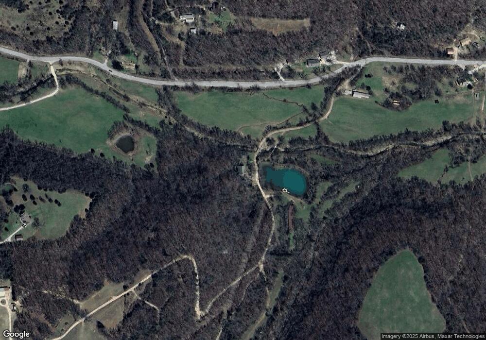
Map
Nearby Homes
- 0 Trace Branch Rd Unit 1293042
- 11724 Brubaker Rd
- 14605 Mineral Springs Rd
- TBD 7.49 Acres Slaty Gap Rd
- TBD 11 Acres Slaty Gap Rd
- 14790 Slaty Gap Rd
- 12812 Parker Branch Rd
- 10578 S Smokey Bear Rd
- 10247 S Smokey Bear Rd
- 14159 Low Gap Wc 100 Rd
- 14161 Low Gap Rd
- 163 Acres Low Gap Rd
- 14163 Low Gap Rd
- 15500 Low Gap Rd
- 14206 Parker Branch Rd
- TBD N Smokey Bear Rd
- 10088 S Whitehouse Rd
- 10030 N Whitehouse Rd
- 14630 E Wallin Mountain Rd
- 12284 Flowers Rd
- 0 Volcano Rd
- 12107 Volcano Rd
- 15996 Trace Branch Rd
- 15574 Trace Branch Rd
- 15306 Trace Branch Rd
- 12133 Volcano Rd
- 15548 Trace Branch Rd
- 15515 Trace Branch Rd
- 16031 Trace Branch Rd
- 16064 Trace Branch Rd
- 12095 & 12107 Volcano Rd
- 16055 Trace Branch Rd
- 12121 Volcano Rd
- 15210 Trace Branch Rd
- 1608 N Wish Ln
- I-49 (5 33 Acres)
- S City Lake Road Tract 1
- S City Lake Road Tract 2
- S City Lake Road Tract 3
- 4 Ac Lillie Ln