Estimated Value: $202,872 - $216,000
3
Beds
1
Bath
1,464
Sq Ft
$143/Sq Ft
Est. Value
About This Home
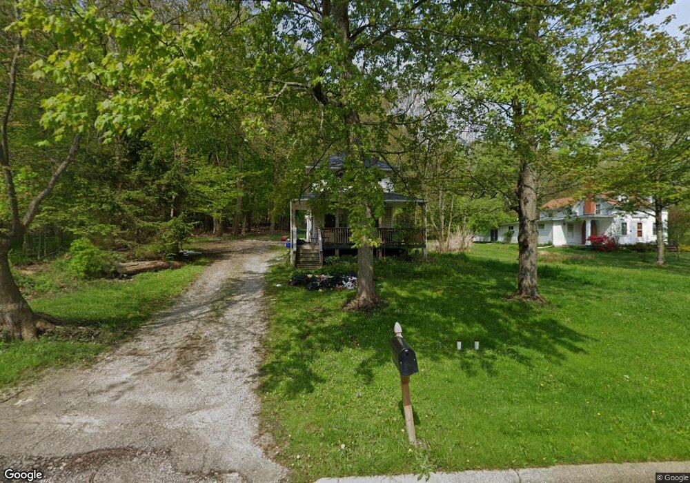
This home is located at 11905 State Route 700, Hiram, OH 44234 and is currently estimated at $209,218, approximately $142 per square foot. 11905 State Route 700 is a home located in Portage County with nearby schools including Crestwood Primary School, Crestwood Intermediate School, and Crestwood Middle School.
Ownership History
Date
Name
Owned For
Owner Type
Purchase Details
Closed on
Sep 19, 2025
Sold by
Decker Susan and Decker Jeffrey A
Bought by
Paul Douglas J and Paul Golda C
Current Estimated Value
Purchase Details
Closed on
May 19, 2016
Sold by
Us Bank Trust Na
Bought by
Decker Susan and White Mary W
Purchase Details
Closed on
Sep 16, 2015
Sold by
Jenson Judith and Jenson Howser Judith A
Bought by
Us Bank Trust Na
Purchase Details
Closed on
Sep 12, 1994
Sold by
Krivonick Michael J
Bought by
Jenson Judy A
Home Financials for this Owner
Home Financials are based on the most recent Mortgage that was taken out on this home.
Original Mortgage
$90,000
Interest Rate
5.62%
Mortgage Type
New Conventional
Create a Home Valuation Report for This Property
The Home Valuation Report is an in-depth analysis detailing your home's value as well as a comparison with similar homes in the area
Home Values in the Area
Average Home Value in this Area
Purchase History
| Date | Buyer | Sale Price | Title Company |
|---|---|---|---|
| Paul Douglas J | $213,000 | Ohio Real Title | |
| Decker Susan | $5,000 | Omega Title Agency Llc | |
| Us Bank Trust Na | $86,667 | Attorney | |
| Jenson Judy A | $95,000 | -- |
Source: Public Records
Mortgage History
| Date | Status | Borrower | Loan Amount |
|---|---|---|---|
| Previous Owner | Jenson Judy A | $90,000 |
Source: Public Records
Tax History Compared to Growth
Tax History
| Year | Tax Paid | Tax Assessment Tax Assessment Total Assessment is a certain percentage of the fair market value that is determined by local assessors to be the total taxable value of land and additions on the property. | Land | Improvement |
|---|---|---|---|---|
| 2024 | $1,880 | $47,920 | $10,750 | $37,170 |
| 2023 | $2,012 | $47,120 | $10,750 | $36,370 |
| 2022 | $2,072 | $47,120 | $10,750 | $36,370 |
| 2021 | $2,143 | $47,120 | $10,750 | $36,370 |
| 2020 | $1,940 | $40,820 | $10,750 | $30,070 |
| 2019 | $1,941 | $40,820 | $10,750 | $30,070 |
| 2017 | $1,846 | $38,090 | $10,050 | $28,040 |
| 2016 | $1,841 | $38,090 | $10,050 | $28,040 |
Source: Public Records
Map
Nearby Homes
- 0 Garfield Rd
- 6846 Wakefield Rd
- SR 82 Ohio 82
- 11383 Rolling Meadows Dr
- 7000 Village Way Dr
- 7076 Village Way Dr
- 7050 Village Way Dr
- 7972 State Route 305
- Lot 7 Wheeler Rd
- Lot 14 Wheeler Rd
- 19109 Tilden Rd
- 7991 Norton Rd
- 10977 Fox Hollow Dr
- 12157 State Route 88
- 7963 State St
- V/L State St
- 6994 Hankee Rd
- 10685 Limeridge Rd
- 10729 Forest St
- 8026 Elm St
- 11917 State Route 700
- 11886 Garfield Rd
- 11939 Garfield Rd
- 11854 Garfield Rd
- 11834 Garfield Rd
- 11825 Dodge Ct
- 11826 Dodge Ct
- 11963 State Route 700
- 11833 Wrenwood Dr
- 12146 State Route 700
- 11796 State Route 700
- 11796 Garfield Rd Unit 23
- 11796 Garfield Rd
- 6825 Hinsdale St
- 0 V-L Sr 700
- 19064 Ohio 700
- 11827 Wrenwood Dr
- 6805 Hinsdale St
- Parcel C Ohio 700
- Parcel B Ohio 700