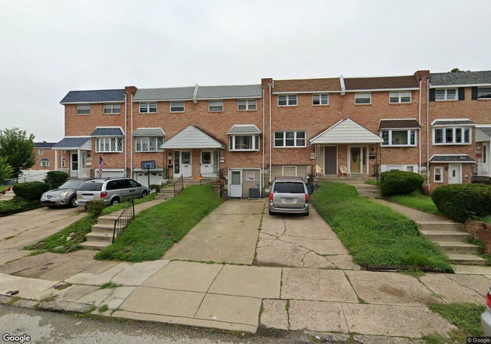
11906 Millbrook Rd Philadelphia, PA 19154
Northeast Philadelphia NeighborhoodEstimated Value: $238,000 - $331,000
3
Beds
1
Bath
1,296
Sq Ft
$222/Sq Ft
Est. Value
About This Home
This home is located at 11906 Millbrook Rd, Philadelphia, PA 19154 and is currently estimated at $287,343, approximately $221 per square foot. 11906 Millbrook Rd is a home located in Philadelphia County with nearby schools including A. L. Fitzpatrick School, George Washington High School, and Our Lady of Calvary School.
Ownership History
Date
Name
Owned For
Owner Type
Purchase Details
Closed on
Mar 21, 2025
Sold by
Gasiewski Eileen L
Bought by
Fraize Daniel and Fraize Theresa
Current Estimated Value
Home Financials for this Owner
Home Financials are based on the most recent Mortgage that was taken out on this home.
Original Mortgage
$223,250
Outstanding Balance
$221,913
Interest Rate
6.87%
Mortgage Type
New Conventional
Estimated Equity
$65,430
Purchase Details
Closed on
Aug 29, 1972
Bought by
Kenneth Kenneth A and Kenneth Eileen L
Create a Home Valuation Report for This Property
The Home Valuation Report is an in-depth analysis detailing your home's value as well as a comparison with similar homes in the area
Home Values in the Area
Average Home Value in this Area
Purchase History
| Date | Buyer | Sale Price | Title Company |
|---|---|---|---|
| Fraize Daniel | $235,000 | None Listed On Document | |
| Kenneth Kenneth A | $24,500 | -- |
Source: Public Records
Mortgage History
| Date | Status | Borrower | Loan Amount |
|---|---|---|---|
| Open | Fraize Daniel | $223,250 |
Source: Public Records
Tax History Compared to Growth
Tax History
| Year | Tax Paid | Tax Assessment Tax Assessment Total Assessment is a certain percentage of the fair market value that is determined by local assessors to be the total taxable value of land and additions on the property. | Land | Improvement |
|---|---|---|---|---|
| 2026 | $2,195 | $295,400 | $59,080 | $236,320 |
| 2025 | $2,195 | $295,400 | $59,080 | $236,320 |
| 2024 | $2,195 | $295,400 | $59,080 | $236,320 |
| 2023 | $2,195 | $246,100 | $49,220 | $196,880 |
| 2022 | $2,195 | $246,100 | $0 | $0 |
| 2021 | $2,825 | $0 | $0 | $0 |
| 2020 | $2,825 | $0 | $0 | $0 |
| 2019 | $2,660 | $0 | $0 | $0 |
| 2018 | $2,501 | $0 | $0 | $0 |
| 2017 | $2,501 | $0 | $0 | $0 |
| 2016 | $2,501 | $0 | $0 | $0 |
| 2015 | $2,395 | $0 | $0 | $0 |
| 2014 | -- | $178,700 | $52,197 | $126,503 |
| 2012 | -- | $20,832 | $3,612 | $17,220 |
Source: Public Records
Map
Nearby Homes
- 11913 Millbrook Rd
- 4208 Greenmount Rd
- 4210 Greenmount Rd
- 4207 Fairdale Rd
- 4374 Deerpath Ln
- 238 Dimarco Dr
- 221 Ridgefield Rd
- 1236 Whittier Ave
- 11125 Kirby Dr
- 12008 Elmore Rd
- 124 Meadow Ln
- 1126 Evelyn Ave
- 3850 Woodhaven Rd Unit 302
- 3850 00 Woodhaven Rd Unit 907
- 11935 Covert Rd
- 3803 Dorchester Rd
- 3798 Chalfont Dr
- 4161 Orchard Ln
- 3608 Nanton Place
- 12011 Templeton Dr
- 11908 Millbrook Rd
- 11904 Millbrook Rd
- 11902 Millbrook Rd
- 11910 Millbrook Rd
- 11900 Millbrook Rd
- 4219 Telford Rd
- 4217 Telford Rd
- 4216 Fairdale Rd
- 4220 Fairdale Rd
- 4218 Fairdale Rd
- 4222 Fairdale Rd
- 4215 Telford Rd
- 4224 Fairdale Rd
- 4214 Fairdale Rd
- 4213 Telford Rd
- 4211 Telford Rd
- 11818 Millbrook Rd
- 11917 Millbrook Rd
- 11915 Millbrook Rd
- 11911 Millbrook Rd