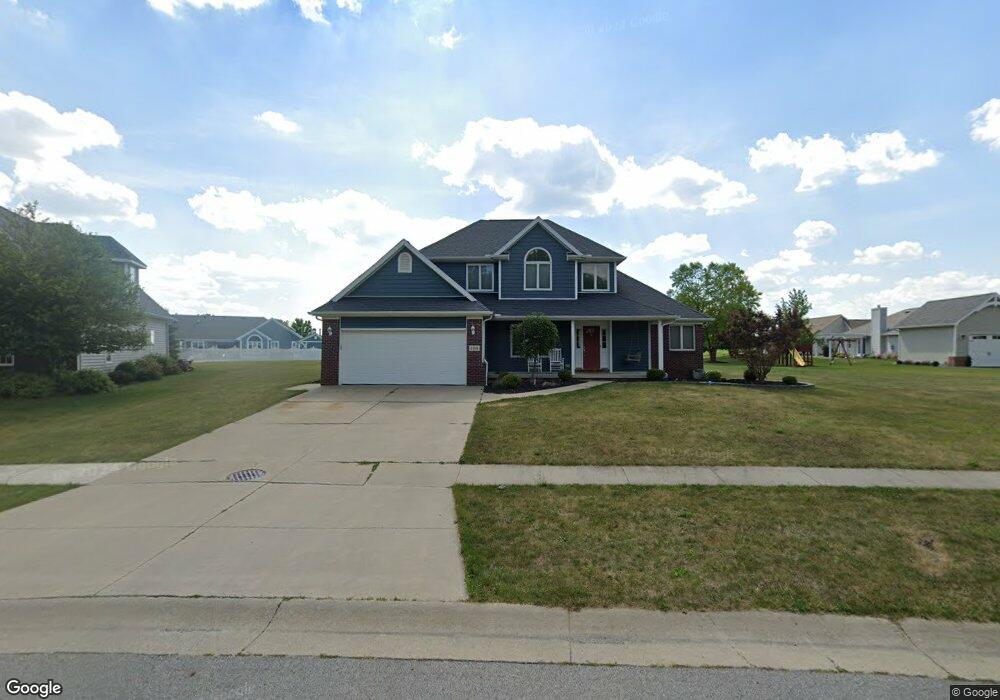
1191 Apache Dr Wauseon, OH 43567
Estimated Value: $315,000 - $426,000
4
Beds
3
Baths
2,074
Sq Ft
$184/Sq Ft
Est. Value
About This Home
This home is located at 1191 Apache Dr, Wauseon, OH 43567 and is currently estimated at $382,508, approximately $184 per square foot. 1191 Apache Dr is a home located in Fulton County with nearby schools including Wauseon Primary School, Wauseon Elementary School, and Wauseon Middle School.
Ownership History
Date
Name
Owned For
Owner Type
Purchase Details
Closed on
Sep 8, 2004
Sold by
Brenner Properties Llp
Bought by
Desposito Ann L
Current Estimated Value
Home Financials for this Owner
Home Financials are based on the most recent Mortgage that was taken out on this home.
Original Mortgage
$179,775
Interest Rate
5.25%
Mortgage Type
Construction
Purchase Details
Closed on
Apr 6, 2004
Sold by
Brenner Properties
Bought by
Brenner Properties Llp
Create a Home Valuation Report for This Property
The Home Valuation Report is an in-depth analysis detailing your home's value as well as a comparison with similar homes in the area
Home Values in the Area
Average Home Value in this Area
Purchase History
| Date | Buyer | Sale Price | Title Company |
|---|---|---|---|
| Desposito Ann L | $29,900 | -- | |
| Brenner Properties Llp | -- | -- |
Source: Public Records
Mortgage History
| Date | Status | Borrower | Loan Amount |
|---|---|---|---|
| Closed | Desposito Ann L | $179,775 |
Source: Public Records
Tax History
| Year | Tax Paid | Tax Assessment Tax Assessment Total Assessment is a certain percentage of the fair market value that is determined by local assessors to be the total taxable value of land and additions on the property. | Land | Improvement |
|---|---|---|---|---|
| 2024 | $5,501 | $114,380 | $16,310 | $98,070 |
| 2023 | $5,687 | $114,380 | $16,310 | $98,070 |
| 2022 | $5,356 | $91,420 | $13,580 | $77,840 |
| 2021 | $5,617 | $91,420 | $13,580 | $77,840 |
| 2020 | $5,241 | $91,420 | $13,580 | $77,840 |
| 2019 | $4,515 | $77,560 | $13,580 | $63,980 |
| 2018 | $4,014 | $77,560 | $13,580 | $63,980 |
| 2017 | $3,958 | $77,560 | $13,580 | $63,980 |
| 2016 | $3,910 | $69,230 | $13,580 | $55,650 |
| 2015 | $3,673 | $69,230 | $13,580 | $55,650 |
| 2014 | $3,483 | $69,230 | $13,580 | $55,650 |
| 2013 | $4,062 | $74,520 | $13,580 | $60,940 |
Source: Public Records
Map
Nearby Homes
- 1171 Apache Dr
- 1062 Seneca Dr
- 1090 Seneca Dr
- 1066 Seneca Dr
- 760 Airport Hwy
- 13242 Us Highway 20a
- 351 E Walnut St
- 460 Airport Hwy
- 833 3rd St
- 203 E Oak St
- 14578 Us Highway 20a
- 1338 N Park Ln
- 7373 County Road 12
- 252 W Chestnut St
- 239 W Chestnut St
- 263 W Chestnut St
- 420 Clover Ln
- 594 Douglas Dr
- 11470 County Rd E
- 660 Parkside Dr
- 1187 Apache Dr
- 1199 Apache Dr
- 932 Black Hawk Dr
- 915 & 917 Arrowhead Trail
- 925 Arrowhead Trail
- 1185 Apache Dr
- 1182 Apache Dr
- 927 Arrowhead Trail
- 1190 Apache Dr
- 1194 Apache Dr
- 1183 Apache Dr
- 935 & 937 Arrowhead Trail
- 933 Black Hawk Dr
- 57 Black Hawk Dr
- 55 Black Hawk Dr
- 56 Black Hawk Dr
- 54 Black Hawk Dr
- 945 Arrowhead Trail
- 1178 Apache Dr
- 1181 Apache Dr
Your Personal Tour Guide
Ask me questions while you tour the home.