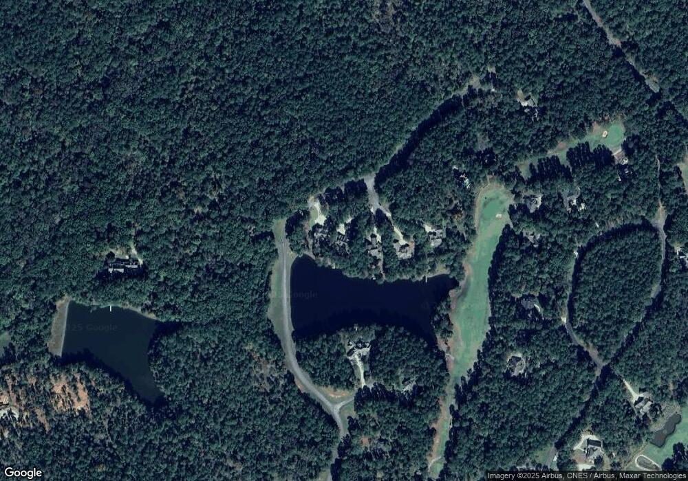
1191 Cedar Ridge Ct Greensboro, GA 30642
Estimated Value: $1,170,000 - $1,394,000
--
Bed
3
Baths
2,088
Sq Ft
$607/Sq Ft
Est. Value
About This Home
This home is located at 1191 Cedar Ridge Ct, Greensboro, GA 30642 and is currently estimated at $1,267,073, approximately $606 per square foot. 1191 Cedar Ridge Ct is a home located in Greene County with nearby schools including Greene County High School.
Ownership History
Date
Name
Owned For
Owner Type
Purchase Details
Closed on
Feb 13, 2020
Sold by
Mcintosh Myrna D
Bought by
Mcintosh Abraham Steven
Current Estimated Value
Purchase Details
Closed on
Mar 14, 2008
Sold by
Reynolds Jeanne L
Bought by
Mcintosh Abraham S
Home Financials for this Owner
Home Financials are based on the most recent Mortgage that was taken out on this home.
Original Mortgage
$580,000
Interest Rate
6.25%
Mortgage Type
New Conventional
Purchase Details
Closed on
Jun 4, 1999
Sold by
Hoffman Bruce and Hoffman Joanne
Bought by
Reynolds James W and Reynolds Jeanne L
Purchase Details
Closed on
Jan 1, 1988
Sold by
Linger Longer Dev
Bought by
Hoffman Bruce and Hoffman Joanne
Purchase Details
Closed on
Jan 1, 1987
Bought by
Linger Longer Dev
Create a Home Valuation Report for This Property
The Home Valuation Report is an in-depth analysis detailing your home's value as well as a comparison with similar homes in the area
Home Values in the Area
Average Home Value in this Area
Purchase History
| Date | Buyer | Sale Price | Title Company |
|---|---|---|---|
| Mcintosh Abraham Steven | -- | -- | |
| Mcintosh Abraham S | $725,000 | -- | |
| Reynolds James W | $70,000 | -- | |
| Hoffman Bruce | $45,000 | -- | |
| Linger Longer Dev | -- | -- |
Source: Public Records
Mortgage History
| Date | Status | Borrower | Loan Amount |
|---|---|---|---|
| Previous Owner | Mcintosh Abraham S | $580,000 | |
| Previous Owner | Mcintosh Abraham S | $36,250 |
Source: Public Records
Tax History Compared to Growth
Tax History
| Year | Tax Paid | Tax Assessment Tax Assessment Total Assessment is a certain percentage of the fair market value that is determined by local assessors to be the total taxable value of land and additions on the property. | Land | Improvement |
|---|---|---|---|---|
| 2024 | $5,890 | $401,080 | $56,000 | $345,080 |
| 2023 | $5,610 | $371,520 | $50,000 | $321,520 |
| 2022 | $4,300 | $230,560 | $29,000 | $201,560 |
| 2021 | $4,110 | $206,520 | $29,000 | $177,520 |
| 2020 | $3,881 | $175,920 | $31,480 | $144,440 |
| 2019 | $3,938 | $175,920 | $31,480 | $144,440 |
| 2018 | $3,916 | $175,920 | $31,480 | $144,440 |
| 2017 | $3,642 | $173,835 | $31,500 | $142,335 |
| 2016 | $3,677 | $175,544 | $31,500 | $144,044 |
| 2015 | $3,608 | $175,543 | $31,500 | $144,044 |
| 2014 | $3,498 | $165,636 | $33,600 | $132,036 |
Source: Public Records
Map
Nearby Homes
- 1261 Cedar Ridge Dr
- 1161 Shoulder Bone Cir
- 1290 Pine Grove Rd
- 1200 Callahan's Ridge Rd
- 1651 Pine Grove Rd
- 1043B Clubhouse Ln Unit B
- 1043B Clubhouse Ln
- 1073 Clubhouse Ln
- 1050 Dejarnet Place
- 1181 Lockets Trail
- 1330 Dogwood Dr
- 1320 Dogwood Dr
- 1320 Dogwood Dr Unit 1320 Dogwood Drive
- 1041 Cawthorne Ln
- 1010 Callahan's Ridge Rd
- 1010 Callahans Ridge Rd
- 1041 Lockets Trail
- 1031 Lockets Trail
- 1015 Planters Trail
- 1021 Planters Trail
- 1181 Cedar Ridge Dr
- 1201 Cedar Ridge Ct
- 1211 Cedar Ridge Ct
- 1221 Cedar Ridge Dr
- 1221 Cedar Ridge Ct
- 0 Cedar Ridge Dr Unit 8728294
- 0 Cedar Ridge Dr Unit 8658884
- 0 Cedar Ridge Dr Unit 8250841
- 0 Cedar Ridge Dr Unit 8246706
- 0 Cedar Ridge Dr Unit 7173879
- 0 Cedar Ridge Dr Unit 3243300
- 0 Cedar Ridge Dr Unit 8978137
- 0 Cedar Ridge Dr Unit 8833001
- 0 Cedar Ridge Dr Unit 8510756
- 0 Cedar Ridge Dr
- 1231 Cedar Ridge Ct
- 1221 Cedar Ridge Ct
- 1081 Cedar Ridge Ln
- 1071 Cedar Ridge Dr
- 1241 Cedar Ridge Dr
