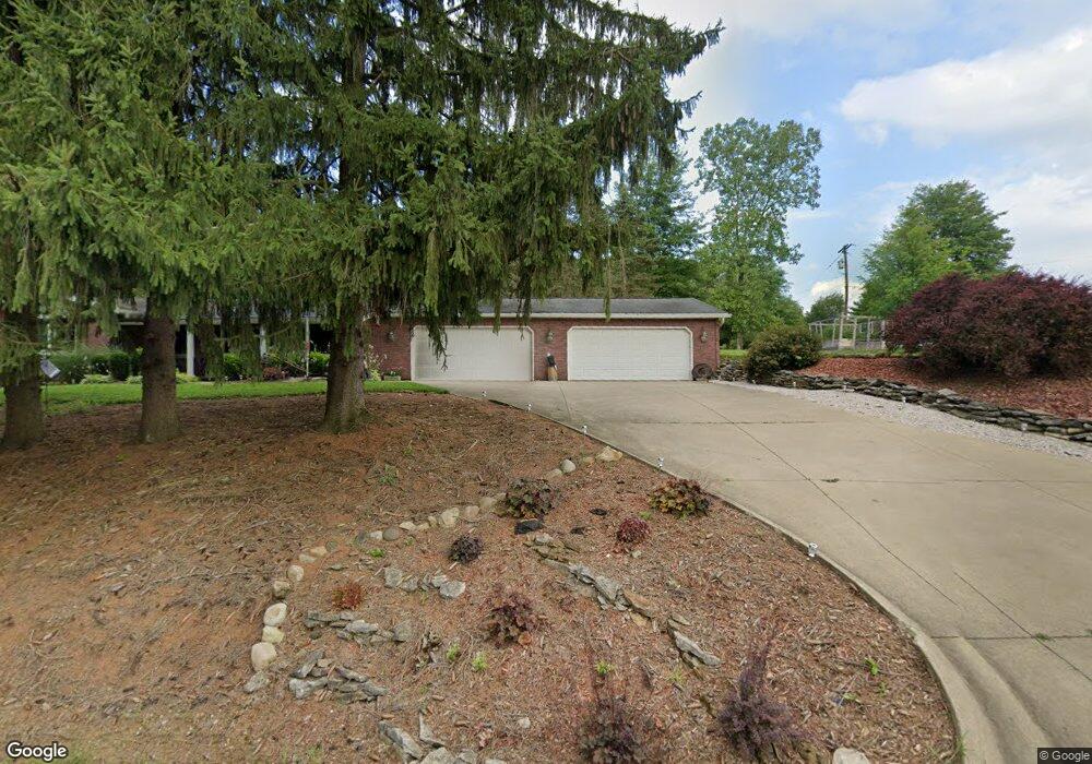
1191 Laver Rd Mansfield, OH 44905
Estimated Value: $104,000 - $171,000
Studio
--
Bath
--
Sq Ft
6,186
Sq Ft Lot
About This Home
This home is located at 1191 Laver Rd, Mansfield, OH 44905 and is currently estimated at $139,333. 1191 Laver Rd is a home located in Richland County with nearby schools including Madison High School, St. Mary Catholic School, and Temple-Christian School.
Ownership History
Date
Name
Owned For
Owner Type
Purchase Details
Closed on
Oct 21, 2013
Sold by
Wells Fargo Bank National Association
Bought by
Napier Charles and Napier Marilyn
Current Estimated Value
Home Financials for this Owner
Home Financials are based on the most recent Mortgage that was taken out on this home.
Original Mortgage
$44,000
Outstanding Balance
$32,713
Interest Rate
4.23%
Mortgage Type
Credit Line Revolving
Estimated Equity
$106,620
Purchase Details
Closed on
May 30, 2013
Sold by
Sigman Cora M
Bought by
Wells Fargo Bank Na
Purchase Details
Closed on
Nov 1, 2006
Sold by
Tomsich William E and Tomsich Eileen M
Bought by
Sigman Cora M and Sigman Dorles T
Home Financials for this Owner
Home Financials are based on the most recent Mortgage that was taken out on this home.
Original Mortgage
$104,000
Interest Rate
9.2%
Mortgage Type
Purchase Money Mortgage
Create a Home Valuation Report for This Property
The Home Valuation Report is an in-depth analysis detailing your home's value as well as a comparison with similar homes in the area
Home Values in the Area
Average Home Value in this Area
Purchase History
| Date | Buyer | Sale Price | Title Company |
|---|---|---|---|
| Napier Charles | $55,799 | None Available | |
| Wells Fargo Bank Na | $46,000 | None Available | |
| Sigman Cora M | $130,000 | Southern Title |
Source: Public Records
Mortgage History
| Date | Status | Borrower | Loan Amount |
|---|---|---|---|
| Open | Napier Charles | $44,000 | |
| Previous Owner | Sigman Cora M | $104,000 |
Source: Public Records
Tax History
| Year | Tax Paid | Tax Assessment Tax Assessment Total Assessment is a certain percentage of the fair market value that is determined by local assessors to be the total taxable value of land and additions on the property. | Land | Improvement |
|---|---|---|---|---|
| 2024 | $101 | $1,950 | $1,950 | $0 |
| 2023 | $101 | $1,950 | $1,950 | $0 |
| 2022 | $88 | $1,570 | $1,570 | $0 |
| 2021 | $88 | $1,570 | $1,570 | $0 |
| 2020 | $89 | $1,570 | $1,570 | $0 |
| 2019 | $81 | $1,330 | $1,330 | $0 |
| 2018 | $80 | $1,330 | $1,330 | $0 |
| 2017 | $79 | $1,330 | $1,330 | $0 |
| 2016 | $76 | $1,260 | $1,260 | $0 |
| 2015 | $75 | $1,260 | $1,260 | $0 |
| 2014 | $75 | $1,260 | $1,260 | $0 |
| 2012 | $36 | $1,330 | $1,330 | $0 |
Source: Public Records
Map
Nearby Homes
- 690 Ashland Rd
- 1990 Woodmont Rd
- 2264 Crider Rd
- 1674 Honeysuckle Dr
- 620 Running Brook Way
- 888 Beal Rd
- 683 Coachman Rd
- 632 Coachman Rd
- 1226 Evergreen Ave W
- 602 Champion Rd
- 1217 Evergreen Ave W
- 644 Skyline Rd
- 615 Champion Rd
- 2202 Lakewood Dr
- 646 Fleetwood Rd
- 1168 ConcheMcO St
- 607 Skyline Rd
- 2385 Bryonaire Dr
- 1359 N Stewart Rd
- 474 Biscayne Dr
Your Personal Tour Guide
Ask me questions while you tour the home.