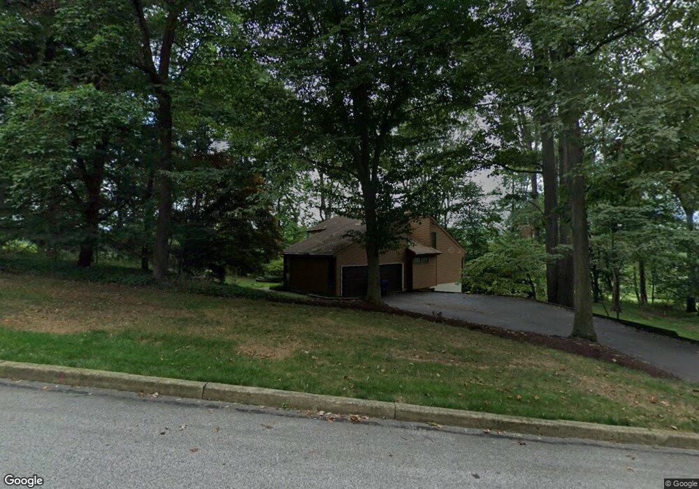
1191 Macpherson Dr West Chester, PA 19380
Estimated Value: $758,000 - $851,000
4
Beds
4
Baths
1,892
Sq Ft
$416/Sq Ft
Est. Value
About This Home
This home is located at 1191 Macpherson Dr, West Chester, PA 19380 and is currently estimated at $787,314, approximately $416 per square foot. 1191 Macpherson Dr is a home located in Chester County with nearby schools including East Bradford Elementary School, E.N. Peirce Middle School, and Henderson High School.
Ownership History
Date
Name
Owned For
Owner Type
Purchase Details
Closed on
Jun 27, 2024
Sold by
Reynolds Nancy E
Bought by
Reynolds Nancy E
Current Estimated Value
Purchase Details
Closed on
Sep 30, 1999
Sold by
Light Bryn A
Bought by
Matusiak Thomas and Reynolds Nancy E
Home Financials for this Owner
Home Financials are based on the most recent Mortgage that was taken out on this home.
Original Mortgage
$224,000
Interest Rate
7.81%
Purchase Details
Closed on
Aug 1, 1995
Sold by
Light Richard T and Light Bryn A
Bought by
Light Bryn A
Create a Home Valuation Report for This Property
The Home Valuation Report is an in-depth analysis detailing your home's value as well as a comparison with similar homes in the area
Home Values in the Area
Average Home Value in this Area
Purchase History
| Date | Buyer | Sale Price | Title Company |
|---|---|---|---|
| Reynolds Nancy E | -- | None Listed On Document | |
| Matusiak Thomas | $280,000 | -- | |
| Light Bryn A | -- | -- |
Source: Public Records
Mortgage History
| Date | Status | Borrower | Loan Amount |
|---|---|---|---|
| Previous Owner | Matusiak Thomas | $224,000 |
Source: Public Records
Tax History Compared to Growth
Tax History
| Year | Tax Paid | Tax Assessment Tax Assessment Total Assessment is a certain percentage of the fair market value that is determined by local assessors to be the total taxable value of land and additions on the property. | Land | Improvement |
|---|---|---|---|---|
| 2025 | $6,454 | $222,660 | $44,460 | $178,200 |
| 2024 | $6,454 | $222,660 | $44,460 | $178,200 |
| 2023 | $6,168 | $222,660 | $44,460 | $178,200 |
| 2022 | $6,084 | $222,660 | $44,460 | $178,200 |
| 2021 | $5,996 | $222,660 | $44,460 | $178,200 |
| 2020 | $5,955 | $222,660 | $44,460 | $178,200 |
| 2019 | $5,869 | $222,660 | $44,460 | $178,200 |
| 2018 | $5,738 | $222,660 | $44,460 | $178,200 |
| 2017 | $5,608 | $222,660 | $44,460 | $178,200 |
| 2016 | $4,832 | $222,660 | $44,460 | $178,200 |
| 2015 | $4,832 | $222,660 | $44,460 | $178,200 |
| 2014 | $4,832 | $222,660 | $44,460 | $178,200 |
Source: Public Records
Map
Nearby Homes
- 4 Amanda Ln
- 1252 Memory Ln
- 1280 Cardinal Ave
- 479 Douglas Dr
- Lot 1 Susan Dr
- 530 Legion Dr
- 1430 Grove Ave
- 48 Sheffield Ln
- 1432 Grove Ave
- 510 Pine Needle Dr
- 1500 Cardiff Terrace
- 1354 Old Pottstown Pike
- 456 Cardigan Terrace Unit 456
- 306 Greenhill Rd
- 1402 Redwood Ct Unit 57
- 112 Crosspointe Dr
- 415 Anglesey Terrace
- 1492 Conifer Dr
- 214 Silverbell Ct
- 81 Four Leaf Dr
- 1194 Macpherson Dr
- 1189 Macpherson Dr
- 1200 Macelroy Dr
- 1192 Macpherson Dr
- 1196 Macpherson Dr
- 1187 Macpherson Dr
- 1190 Macpherson Dr
- 1198 Macelroy Dr
- 1183 Macpherson Dr
- 401 Mackenzie Dr
- 1188 Macpherson Dr
- 411 Mackenzie Dr
- 1177 Macpherson Dr
- 1186 Macpherson Dr
- 341 Mackenzie Dr
- 608 Grubbs Mill Rd
- 421 Mackenzie Dr
- 612 Grubbs Mill Rd
- 620 Grubbs Mill Rd
- 602 Grubbs Mill Rd