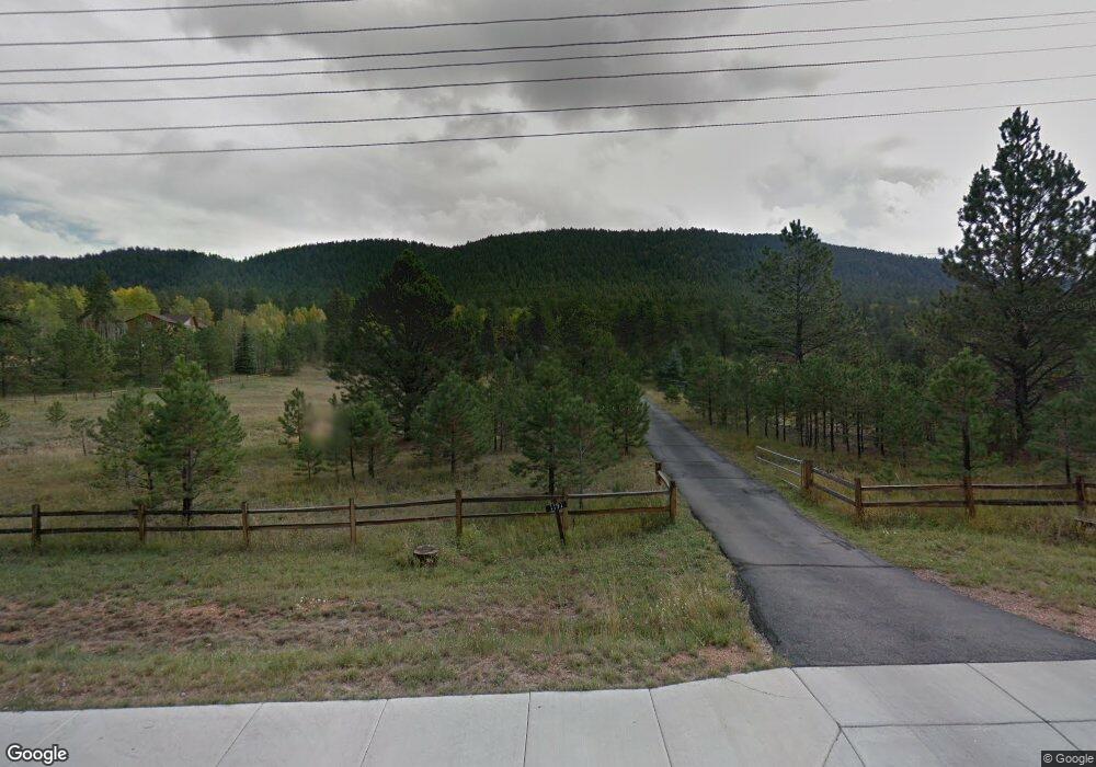
1191 Rampart Range Rd Woodland Park, CO 80863
Estimated Value: $644,000 - $1,061,000
3
Beds
3
Baths
2,027
Sq Ft
$392/Sq Ft
Est. Value
About This Home
This home is located at 1191 Rampart Range Rd, Woodland Park, CO 80863 and is currently estimated at $795,140, approximately $392 per square foot. 1191 Rampart Range Rd is a home located in Teller County with nearby schools including Woodland Park Middle School, Woodland Park High School, and Colorado Springs Christian School.
Ownership History
Date
Name
Owned For
Owner Type
Purchase Details
Closed on
Dec 17, 2021
Sold by
Quint Open Space Llc
Bought by
Weatherford Arden
Current Estimated Value
Home Financials for this Owner
Home Financials are based on the most recent Mortgage that was taken out on this home.
Original Mortgage
$587,000
Outstanding Balance
$539,886
Interest Rate
3.11%
Mortgage Type
New Conventional
Estimated Equity
$255,254
Purchase Details
Closed on
Jun 25, 2007
Sold by
Quint Urban
Bought by
Quint Open Space Llc
Home Financials for this Owner
Home Financials are based on the most recent Mortgage that was taken out on this home.
Original Mortgage
$480,376
Interest Rate
6.19%
Mortgage Type
Purchase Money Mortgage
Purchase Details
Closed on
Mar 14, 2003
Sold by
Quint Nikolaus
Bought by
Quint Nikolaus
Create a Home Valuation Report for This Property
The Home Valuation Report is an in-depth analysis detailing your home's value as well as a comparison with similar homes in the area
Home Values in the Area
Average Home Value in this Area
Purchase History
| Date | Buyer | Sale Price | Title Company |
|---|---|---|---|
| Weatherford Arden | -- | Fidelity National Title | |
| Quint Open Space Llc | $475,000 | Stg | |
| Quint Nikolaus | -- | -- |
Source: Public Records
Mortgage History
| Date | Status | Borrower | Loan Amount |
|---|---|---|---|
| Open | Weatherford Arden | $587,000 | |
| Previous Owner | Quint Open Space Llc | $480,376 |
Source: Public Records
Tax History Compared to Growth
Tax History
| Year | Tax Paid | Tax Assessment Tax Assessment Total Assessment is a certain percentage of the fair market value that is determined by local assessors to be the total taxable value of land and additions on the property. | Land | Improvement |
|---|---|---|---|---|
| 2024 | $3,667 | $46,360 | $17,619 | $28,741 |
| 2023 | $3,667 | $46,360 | $17,620 | $28,740 |
| 2022 | $3,340 | $41,160 | $8,490 | $32,670 |
| 2021 | $3,418 | $42,340 | $8,730 | $33,610 |
| 2020 | $2,926 | $37,090 | $5,260 | $31,830 |
| 2019 | $2,906 | $37,090 | $0 | $0 |
| 2018 | $2,458 | $30,690 | $0 | $0 |
| 2017 | $2,462 | $30,690 | $0 | $0 |
| 2016 | $2,729 | $33,920 | $0 | $0 |
| 2015 | $2,963 | $33,920 | $0 | $0 |
| 2014 | $3,102 | $35,180 | $0 | $0 |
Source: Public Records
Map
Nearby Homes
- 840 E Kellys Rd
- 1200 Forest Edge Rd
- 1157 Forest Edge Rd
- 620 Chipmunk Dr
- 1320 Forest Edge Rd
- 1013 Fullview St
- 1230 Cottontail Trail
- 920 Forest Edge Rd
- 990 N Park Dr
- 1051 Forest Hill Rd
- 1901 Rampart Range Rd
- 10 Ollie Ct
- 220 Crestwood Dr
- 1003 Mountain View Rd
- 1005 Mountain View Rd
- 1148 Park View Rd
- 1148 Parkview Rd
- 2120 Lee Circle Dr
- TBD Rolling Park Dr
- 418 N Baldwin St
- 1201 Telemark Dr
- 890 E Kelly Rd
- 1171 Rampart Range Rd
- 920 E Kelly Rd
- 1035 E Kelly Rd
- 940 E Kelleys Rd
- 940 E Kelly Rd
- 1202 Telemark Dr
- 840 E Kelley's Rd
- 850 E Kelly Rd
- 960 E Kelly Rd
- 1211 Telemark Dr
- 981 E Kelley's Rd
- 981 E Kelly Rd
- 1180 Forest Edge Rd
- 860 E Kelly Rd
- 1186 Forest Edge Rd
- 1204 Telemark Dr
- 700 E Kelly Rd
- 1221 Telemark Dr