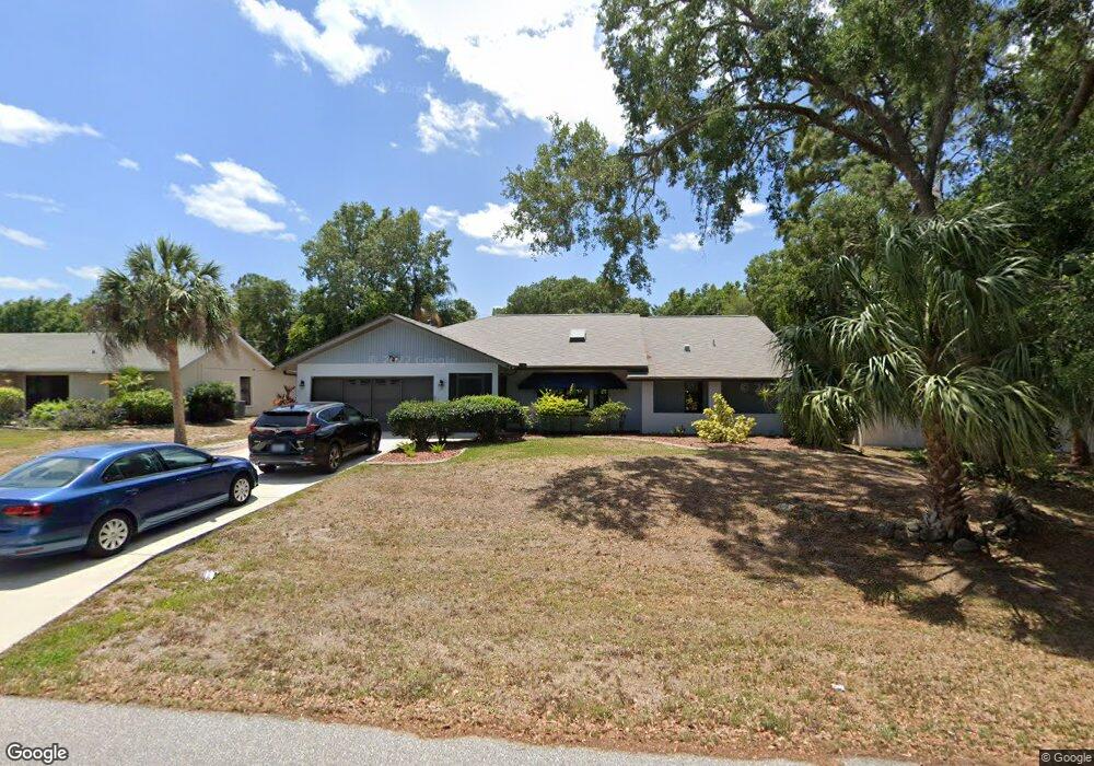
1191 Virgo Dr Port Charlotte, FL 33948
Estimated Value: $281,000 - $373,000
3
Beds
2
Baths
1,793
Sq Ft
$178/Sq Ft
Est. Value
About This Home
This home is located at 1191 Virgo Dr, Port Charlotte, FL 33948 and is currently estimated at $319,137, approximately $177 per square foot. 1191 Virgo Dr is a home located in Charlotte County with nearby schools including Meadow Park Elementary School, Murdock Middle School, and Port Charlotte High School.
Ownership History
Date
Name
Owned For
Owner Type
Purchase Details
Closed on
Nov 2, 2005
Sold by
Cannon Michael P and Cannon Elaine M
Bought by
Cannon Michael P and Cannon Elaine M
Current Estimated Value
Purchase Details
Closed on
Aug 23, 1996
Sold by
Cannon Michael R and Cannon Elaine M
Bought by
Cannon Michael P and Cannon Elaine M
Home Financials for this Owner
Home Financials are based on the most recent Mortgage that was taken out on this home.
Original Mortgage
$86,400
Outstanding Balance
$6,824
Interest Rate
8.2%
Estimated Equity
$312,313
Purchase Details
Closed on
Jun 8, 1995
Sold by
Moulton Melanie S
Bought by
Cannon Michael R and Cannon Elaine M
Home Financials for this Owner
Home Financials are based on the most recent Mortgage that was taken out on this home.
Original Mortgage
$83,200
Interest Rate
8.21%
Create a Home Valuation Report for This Property
The Home Valuation Report is an in-depth analysis detailing your home's value as well as a comparison with similar homes in the area
Home Values in the Area
Average Home Value in this Area
Purchase History
| Date | Buyer | Sale Price | Title Company |
|---|---|---|---|
| Cannon Michael P | -- | -- | |
| Cannon Michael P | -- | -- | |
| Cannon Michael R | $104,000 | -- |
Source: Public Records
Mortgage History
| Date | Status | Borrower | Loan Amount |
|---|---|---|---|
| Open | Cannon Michael P | $86,400 | |
| Previous Owner | Cannon Michael R | $83,200 |
Source: Public Records
Tax History Compared to Growth
Tax History
| Year | Tax Paid | Tax Assessment Tax Assessment Total Assessment is a certain percentage of the fair market value that is determined by local assessors to be the total taxable value of land and additions on the property. | Land | Improvement |
|---|---|---|---|---|
| 2023 | $1,963 | $99,952 | $0 | $0 |
| 2022 | $1,869 | $97,041 | $0 | $0 |
| 2021 | $1,850 | $94,215 | $0 | $0 |
| 2020 | $1,795 | $92,914 | $0 | $0 |
| 2019 | $1,708 | $90,825 | $0 | $0 |
| 2018 | $1,541 | $86,977 | $0 | $0 |
| 2017 | $1,518 | $85,188 | $0 | $0 |
| 2016 | $1,501 | $83,436 | $0 | $0 |
| 2015 | $1,484 | $82,856 | $0 | $0 |
| 2014 | $1,450 | $82,198 | $0 | $0 |
Source: Public Records
Map
Nearby Homes
- 1285 Barton Ave
- 3038 Yukon Dr
- 1133 Ample Ave
- 1149 Ample Ave
- 1256 Eden Ave
- 1272 Eden Ave
- 1280 Eden Ave
- 3157 Pellam Blvd
- 2128 Pellam Blvd
- 3069 Pellam Blvd
- 1108 Ample Ave
- 537 Verona St
- 745 Columbia St
- 2605 Cannolot Blvd
- 2455 Pellam Blvd
- 512 Donora St
- 1074 Darby Dr NW
- 18510 Ellen Ave
- 18422 Oxford Ave
- 18423 Temple Ave
- 1187 Virgo Dr
- 1260 Barton Ave
- 1197 Virgo Dr
- 1183 Virgo Dr
- 1194 Virgo Dr
- 1186 Virgo Dr
- 3022 Rock Creek Dr
- 1198 Virgo Dr
- 1178 Virgo Dr
- 1231 Ample Ave
- 1223 Ample Ave
- 1244 Barton Ave
- 1175 Virgo Dr
- 1237 Ample Ave
- 1298 Barton Ave
- 1207 Ample Ave
- 2990 Rock Creek Dr
- 3021 Rock Creek Dr
- 3029 Rock Creek Dr
- 1232 Barton Ave