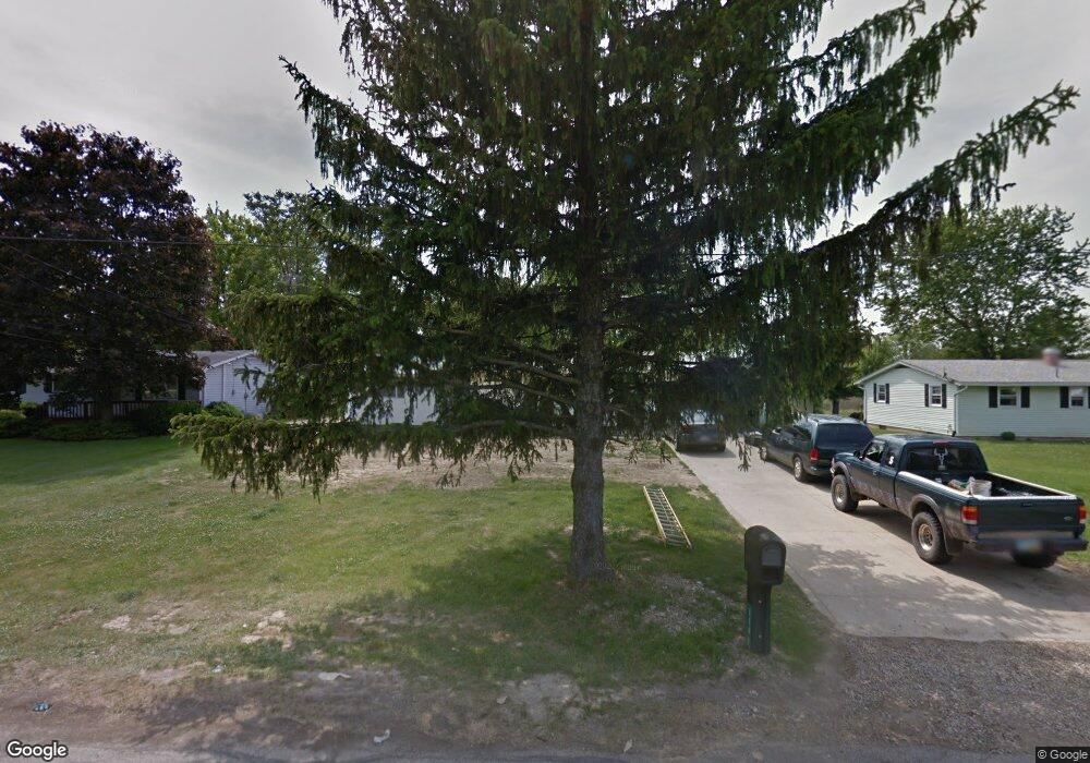
1191 Walcrest Dr Mansfield, OH 44903
Estimated Value: $183,564 - $202,000
3
Beds
1
Bath
1,264
Sq Ft
$155/Sq Ft
Est. Value
About This Home
This home is located at 1191 Walcrest Dr, Mansfield, OH 44903 and is currently estimated at $195,891, approximately $154 per square foot. 1191 Walcrest Dr is a home located in Richland County with nearby schools including Stingel Elementary School, Ontario Middle School, and Ontario High School.
Ownership History
Date
Name
Owned For
Owner Type
Purchase Details
Closed on
Apr 13, 2020
Sold by
Miller Gregory A and Miller Christina K
Bought by
Breanna Miller
Current Estimated Value
Home Financials for this Owner
Home Financials are based on the most recent Mortgage that was taken out on this home.
Original Mortgage
$91,575
Interest Rate
3.3%
Mortgage Type
FHA
Purchase Details
Closed on
Dec 29, 2011
Sold by
Kesling Anna Ruth
Bought by
Miller Gregory A and Miller Christina K
Create a Home Valuation Report for This Property
The Home Valuation Report is an in-depth analysis detailing your home's value as well as a comparison with similar homes in the area
Home Values in the Area
Average Home Value in this Area
Purchase History
| Date | Buyer | Sale Price | Title Company |
|---|---|---|---|
| Breanna Miller | $120,000 | None Available | |
| Miller Gregory A | $10,000 | None Available |
Source: Public Records
Mortgage History
| Date | Status | Borrower | Loan Amount |
|---|---|---|---|
| Previous Owner | Breanna Miller | $91,575 |
Source: Public Records
Tax History
| Year | Tax Paid | Tax Assessment Tax Assessment Total Assessment is a certain percentage of the fair market value that is determined by local assessors to be the total taxable value of land and additions on the property. | Land | Improvement |
|---|---|---|---|---|
| 2024 | $1,998 | $40,080 | $8,630 | $31,450 |
| 2023 | $2,043 | $40,080 | $8,630 | $31,450 |
| 2022 | $1,873 | $31,590 | $7,850 | $23,740 |
| 2021 | $1,877 | $31,590 | $7,850 | $23,740 |
| 2020 | $2,000 | $31,590 | $7,850 | $23,740 |
| 2019 | $1,860 | $26,770 | $6,650 | $20,120 |
| 2018 | $1,589 | $26,770 | $6,650 | $20,120 |
| 2017 | $1,581 | $26,770 | $6,650 | $20,120 |
| 2016 | $1,598 | $27,190 | $6,450 | $20,740 |
| 2015 | $1,598 | $27,190 | $6,450 | $20,740 |
| 2014 | $1,595 | $27,190 | $6,450 | $20,740 |
| 2012 | $1,039 | $28,030 | $6,650 | $21,380 |
Source: Public Records
Map
Nearby Homes
- 4310 Snodgrass Rd
- 0 Snodgrass Rd
- 3872 Snodgrass Rd
- 1689 Ohio 314
- 1689 State Route 314
- 3767 Cookton Grange Rd
- 3670 Pearl St
- 0 Rudy Rd
- 3560 Park Ave W
- 2990 Hemlock Place
- 3880 Horizon Dr
- 5263 Lincoln Hwy
- 3308 Park Ave W
- 3320 Oakstone Dr
- 0 Rock Rd
- 3516 Muirfield
- 3516 Muirfield Dr
- 1260 Thrush Rd
- 2583 Deerfield Ln
- 1111 Bogey Dr
- 1181 Walcrest Dr
- 1201 Walcrest Dr
- 1211 Walcrest Dr
- 1171 Walcrest Dr
- 1192 Walcrest Dr
- 1182 Walcrest Dr
- 1212 Walcrest Dr
- 1172 Walcrest Dr
- 1231 Walcrest Dr
- 4120 Snodgrass Rd
- 1222 Walcrest Dr
- 4138 Snodgrass Rd
- 4110 Snodgrass Rd
- 0 Walcrest Dr
- 4092 Snodgrass Rd
- 1232 Walcrest Dr
- 1241 Walcrest Dr
- 4115 Snodgrass Rd
- 4115 Snodgrass Rd
- 1251 Walcrest Dr
Your Personal Tour Guide
Ask me questions while you tour the home.