Estimated Value: $178,413 - $197,000
3
Beds
2
Baths
1,515
Sq Ft
$121/Sq Ft
Est. Value
About This Home
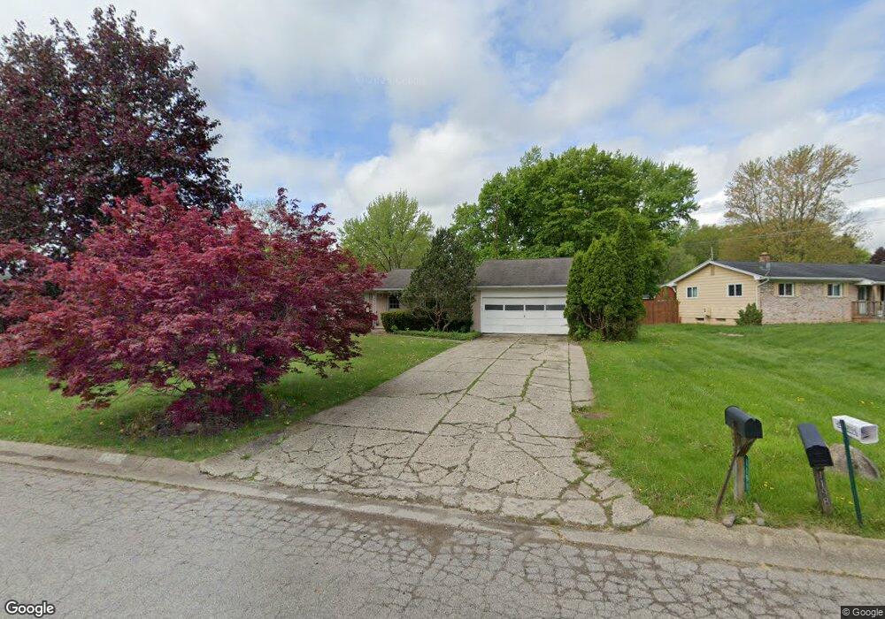
This home is located at 1191 Westwood Dr, Flint, MI 48532 and is currently estimated at $183,603, approximately $121 per square foot. 1191 Westwood Dr is a home located in Genesee County with nearby schools including Carman-Ainsworth High School, Linden Charter Academy, and St. Paul Lutheran School.
Ownership History
Date
Name
Owned For
Owner Type
Purchase Details
Closed on
Oct 17, 2005
Sold by
Pardeik Donald W and Pardeik Barbara J
Bought by
Herron Zoranda
Current Estimated Value
Home Financials for this Owner
Home Financials are based on the most recent Mortgage that was taken out on this home.
Original Mortgage
$57,600
Outstanding Balance
$30,947
Interest Rate
5.82%
Mortgage Type
New Conventional
Estimated Equity
$152,656
Create a Home Valuation Report for This Property
The Home Valuation Report is an in-depth analysis detailing your home's value as well as a comparison with similar homes in the area
Home Values in the Area
Average Home Value in this Area
Purchase History
| Date | Buyer | Sale Price | Title Company |
|---|---|---|---|
| Herron Zoranda | $144,000 | Sargents Title Company | |
| The Antoinette Watson Irrevocable Specia | -- | Sargents Title Company |
Source: Public Records
Mortgage History
| Date | Status | Borrower | Loan Amount |
|---|---|---|---|
| Open | The Antoinette Watson Irrevocable Specia | $57,600 |
Source: Public Records
Tax History Compared to Growth
Tax History
| Year | Tax Paid | Tax Assessment Tax Assessment Total Assessment is a certain percentage of the fair market value that is determined by local assessors to be the total taxable value of land and additions on the property. | Land | Improvement |
|---|---|---|---|---|
| 2025 | $2,130 | $77,600 | $0 | $0 |
| 2024 | $1,085 | $68,300 | $0 | $0 |
| 2023 | $1,036 | $56,900 | $0 | $0 |
| 2022 | $939 | $52,200 | $0 | $0 |
| 2021 | $1,876 | $50,200 | $0 | $0 |
| 2020 | $930 | $48,500 | $0 | $0 |
| 2019 | $917 | $44,300 | $0 | $0 |
| 2018 | $1,754 | $41,800 | $0 | $0 |
| 2017 | $1,691 | $41,800 | $0 | $0 |
| 2016 | $1,733 | $40,200 | $0 | $0 |
| 2015 | $1,541 | $40,200 | $0 | $0 |
| 2014 | $914 | $38,600 | $0 | $0 |
| 2012 | -- | $42,300 | $42,300 | $0 |
Source: Public Records
Map
Nearby Homes
- 2174 Mill Rd
- 1090 Cabot Dr
- 1058 Cora Dr
- 1159 N Linden Rd
- 5021 Forest Side Dr
- 4022 Beecher Rd
- Graham Rd N Graham Rd
- 1068 S Graham Rd
- 5104 Shady Oak Trail
- 3528 Beecher Rd
- 1193 Normandy Terrace Dr
- 2051 Lavelle Rd
- 1246 Dyemeadow Ln
- 2008 Beekman Ct
- 1136 Gilbert St
- 2 Charter Dr
- 1260 Gilbert St
- 1391 Dye Krest Cir
- 3360 Beecher Rd
- 3350 Beecher Rd
- 1183 Westwood Dr
- 1209 Westwood Dr
- 1225 Westwood Dr
- 1177 Westwood Dr
- 1233 Westwood Dr
- 1257 Heathercrest Dr
- 1245 Westwood Dr
- 1169 Westwood Dr
- 1198 Westwood Dr
- 1208 Westwood Dr
- 4245 Post Dr
- 1271 Heathercrest Dr
- 1343 Donal Dr
- 1338 Autumn Dr
- 1216 Westwood Dr
- 1161 Westwood Dr
- 1283 Heathercrest Dr
- 4255 Post Dr
- 1333 Autumn Dr
- 1254 Heathercrest Dr