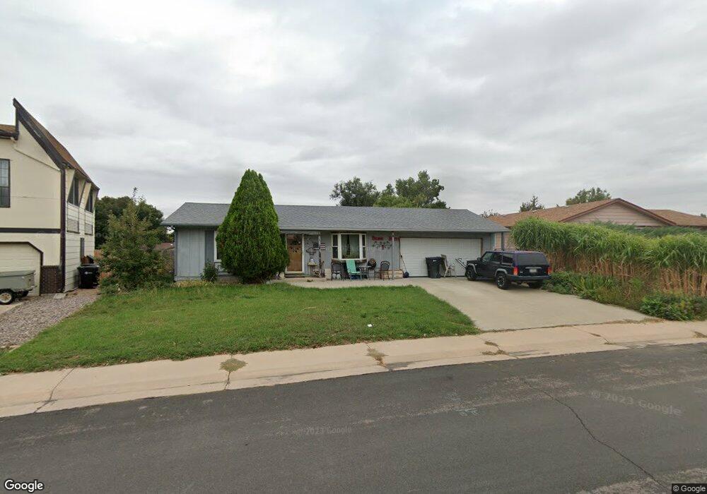
11910 Saint Paul Cir Thornton, CO 80233
Estimated Value: $332,000 - $399,333
2
Beds
1
Bath
816
Sq Ft
$465/Sq Ft
Est. Value
About This Home
This home is located at 11910 Saint Paul Cir, Thornton, CO 80233 and is currently estimated at $379,833, approximately $465 per square foot. 11910 Saint Paul Cir is a home located in Adams County with nearby schools including Woodglen Elementary School, Century Middle School, and Mountain Range High School.
Ownership History
Date
Name
Owned For
Owner Type
Purchase Details
Closed on
Jun 14, 2010
Sold by
Tde Family Trust
Bought by
Garcia Cindy Ptak and Garcia Luciano
Current Estimated Value
Home Financials for this Owner
Home Financials are based on the most recent Mortgage that was taken out on this home.
Original Mortgage
$89,000
Interest Rate
9.5%
Mortgage Type
Seller Take Back
Purchase Details
Closed on
Feb 29, 2008
Sold by
Bank Of New York
Bought by
Woods Danny R
Home Financials for this Owner
Home Financials are based on the most recent Mortgage that was taken out on this home.
Original Mortgage
$39,200
Interest Rate
5.47%
Mortgage Type
Unknown
Purchase Details
Closed on
Jul 20, 2005
Sold by
Wells Virginia J
Bought by
Tde Family Trust
Create a Home Valuation Report for This Property
The Home Valuation Report is an in-depth analysis detailing your home's value as well as a comparison with similar homes in the area
Home Values in the Area
Average Home Value in this Area
Purchase History
| Date | Buyer | Sale Price | Title Company |
|---|---|---|---|
| Garcia Cindy Ptak | $95,000 | North American Title | |
| Woods Danny R | $49,000 | Fahtco | |
| Tde Family Trust | -- | -- |
Source: Public Records
Mortgage History
| Date | Status | Borrower | Loan Amount |
|---|---|---|---|
| Closed | Garcia Cindy Ptak | $89,000 | |
| Previous Owner | Woods Danny R | $39,200 |
Source: Public Records
Tax History Compared to Growth
Tax History
| Year | Tax Paid | Tax Assessment Tax Assessment Total Assessment is a certain percentage of the fair market value that is determined by local assessors to be the total taxable value of land and additions on the property. | Land | Improvement |
|---|---|---|---|---|
| 2024 | $2,479 | $24,440 | $5,480 | $18,960 |
| 2023 | $2,454 | $27,670 | $5,410 | $22,260 |
| 2022 | $2,464 | $22,370 | $5,560 | $16,810 |
| 2021 | $2,547 | $22,370 | $5,560 | $16,810 |
| 2020 | $2,204 | $19,760 | $5,720 | $14,040 |
| 2019 | $2,209 | $19,760 | $5,720 | $14,040 |
| 2018 | $1,923 | $16,710 | $5,760 | $10,950 |
| 2017 | $1,748 | $16,710 | $5,760 | $10,950 |
| 2016 | $1,106 | $10,290 | $3,180 | $7,110 |
| 2015 | $1,104 | $10,290 | $3,180 | $7,110 |
| 2014 | $969 | $8,780 | $2,470 | $6,310 |
Source: Public Records
Map
Nearby Homes
- 11817 Cook St
- 11776 Saint Paul St
- 3491 E 119th St
- 11879 Madison Place
- 2656 E 117th Way
- 11928 Monroe St
- 12131 Elizabeth Ct
- 11845 Garfield St
- 11848 Jackson Cir
- 12113 York St
- 11901 Bellaire St Unit D
- 3880 E 117th Ave
- 11957 Claude Ct
- 11630 Columbine St
- 11546 Monroe Way
- 12215 Garfield Place
- 11936 E 119th Place
- 11922 Bellaire St Unit F
- 11861 Claude Way
- 3989 E 121st Ave
- 11900 Saint Paul Cir
- 11920 Saint Paul Cir
- 11853 Steele St
- 11880 Saint Paul St
- 11863 Steele St
- 11843 Steele St
- 11930 Saint Paul Cir
- 11833 Steele St
- 11873 Steele St
- 11860 Saint Paul St
- 11888 Saint Paul Cir
- 11940 Saint Paul Cir
- 11883 Steele St
- 11854 Steele St
- 11912 Saint Paul St
- 11864 Steele St
- 11844 Steele St
- 11840 Saint Paul St
- 11868 Saint Paul Cir
- 11874 Steele St