11912B W Highway 290 Austin, TX 78737
Estimated Value: $620,329 - $898,000
--
Bed
3
Baths
2,393
Sq Ft
$318/Sq Ft
Est. Value
About This Home
This home is located at 11912B W Highway 290, Austin, TX 78737 and is currently estimated at $761,832, approximately $318 per square foot. 11912B W Highway 290 is a home located in Travis County with nearby schools including Baldwin Elementary School, Small Middle School, and James Bowie High School.
Ownership History
Date
Name
Owned For
Owner Type
Purchase Details
Closed on
Sep 11, 2024
Sold by
Lewis Druese Burns
Bought by
Lewis Druese Burns and Lewis Richard Wayne
Current Estimated Value
Purchase Details
Closed on
Jun 18, 2024
Sold by
Lewis Druese Burns
Bought by
Lewis Druese Burns
Purchase Details
Closed on
Jun 17, 2024
Sold by
Lewis Druese Burns
Bought by
Lewis Druese Burns
Create a Home Valuation Report for This Property
The Home Valuation Report is an in-depth analysis detailing your home's value as well as a comparison with similar homes in the area
Home Values in the Area
Average Home Value in this Area
Purchase History
| Date | Buyer | Sale Price | Title Company |
|---|---|---|---|
| Lewis Druese Burns | -- | None Listed On Document | |
| Lewis Druese Burns | -- | None Listed On Document | |
| Lewis Druese Burns | -- | None Listed On Document |
Source: Public Records
Tax History Compared to Growth
Tax History
| Year | Tax Paid | Tax Assessment Tax Assessment Total Assessment is a certain percentage of the fair market value that is determined by local assessors to be the total taxable value of land and additions on the property. | Land | Improvement |
|---|---|---|---|---|
| 2025 | $7,884 | $610,444 | $40,000 | $570,444 |
| 2023 | $7,105 | $507,486 | $40,000 | $467,486 |
| 2022 | $8,780 | $563,811 | $40,000 | $523,811 |
| 2021 | $6,722 | $396,479 | $40,000 | $356,479 |
| 2020 | $5,338 | $300,763 | $40,000 | $260,763 |
| 2018 | $5,570 | $299,180 | $40,000 | $259,180 |
| 2017 | $4,686 | $249,336 | $40,000 | $209,336 |
| 2016 | $4,686 | $249,336 | $40,000 | $209,336 |
| 2015 | $4,513 | $249,436 | $40,000 | $209,436 |
| 2014 | $4,513 | $228,034 | $40,000 | $188,034 |
Source: Public Records
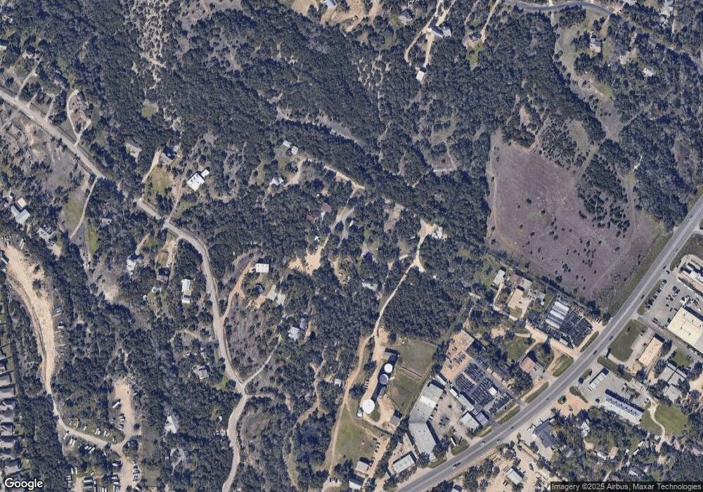
Map
Nearby Homes
- 11205 Oak Branch Dr
- 407 Stone View Trail
- 199 Limestone Trail
- 370 Ledge Stone Dr
- 394 Ledge Stone Dr
- 609 Stone View Trail
- 188 Rock Vista Run
- 519 Drury Ln
- 33 Long Creek Rd
- 11809 Oak Branch Dr
- 11420 Rim Rock Trail
- 134 Summer Square Dr
- 195 Autumn Wood Ln
- 3 Heritage Oaks Dr
- 16 Tall Oaks Trail
- TBD Highway 290
- 140 Stratton Ct
- TBD Anglin Ln
- 171 Brighton Ln
- 240 Bolton Dr
- 11912 W Highway 290
- 11912 W Highway 290
- 11912 W Highway 290 Unit A
- 11912C W Highway 290
- 11912A U S 290
- 11912C U S 290
- 11110 Oak Branch Dr
- 11112 Oak Branch Dr
- 261 Circle G Ranch Rd
- 241 Circle G Ranch Rd
- 11210 Oak Branch Dr
- 12020 W Highway 290
- 11201 Oak Branch Dr
- 12006 W Highway 290
- 12018 W Highway 290
- 11109 Oak Branch Dr
- 12018 E Highway 290
- 11300 Oak Branch Dr
- 12010 W Highway 290
- 11209 Oak Branch Dr