11914 N Strohs Dr Unit PIER 145-B040 Syracuse, IN 46567
Estimated Value: $632,000 - $1,090,012
4
Beds
2
Baths
1,515
Sq Ft
$607/Sq Ft
Est. Value
About This Home
This home is located at 11914 N Strohs Dr Unit PIER 145-B040, Syracuse, IN 46567 and is currently estimated at $919,004, approximately $606 per square foot. 11914 N Strohs Dr Unit PIER 145-B040 is a home located in Kosciusko County with nearby schools including Wawasee High School.
Ownership History
Date
Name
Owned For
Owner Type
Purchase Details
Closed on
Nov 2, 2009
Sold by
Theofaris Leslie
Bought by
Theofanis Dean C and Theofanis Leslie C
Current Estimated Value
Purchase Details
Closed on
Oct 1, 2008
Sold by
Wilson Charles
Bought by
Theofanis Leslie
Create a Home Valuation Report for This Property
The Home Valuation Report is an in-depth analysis detailing your home's value as well as a comparison with similar homes in the area
Home Values in the Area
Average Home Value in this Area
Purchase History
| Date | Buyer | Sale Price | Title Company |
|---|---|---|---|
| Theofanis Dean C | -- | None Available | |
| Theofanis Leslie | $346,500 | Bodkin Abstract Co Inc |
Source: Public Records
Tax History Compared to Growth
Tax History
| Year | Tax Paid | Tax Assessment Tax Assessment Total Assessment is a certain percentage of the fair market value that is determined by local assessors to be the total taxable value of land and additions on the property. | Land | Improvement |
|---|---|---|---|---|
| 2024 | $6,722 | $754,100 | $241,100 | $513,000 |
| 2023 | $6,683 | $735,200 | $231,500 | $503,700 |
| 2022 | $5,868 | $641,100 | $209,800 | $431,300 |
| 2021 | $4,775 | $516,800 | $174,900 | $341,900 |
| 2020 | $4,142 | $489,800 | $170,600 | $319,200 |
| 2019 | $4,544 | $477,000 | $170,600 | $306,400 |
| 2018 | $4,188 | $460,500 | $170,600 | $289,900 |
| 2017 | $4,103 | $441,600 | $168,500 | $273,100 |
| 2016 | $3,620 | $446,900 | $168,500 | $278,400 |
| 2014 | $3,835 | $428,200 | $168,500 | $259,700 |
| 2013 | $3,835 | $445,800 | $172,800 | $273,000 |
Source: Public Records
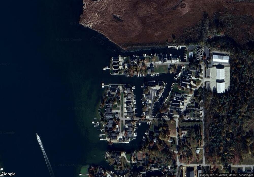
Map
Nearby Homes
- 11869 N Forest Dr
- 11683 N Black Point Rd
- 11523 N Crowdale Dr
- 8217 E Constitution Dr
- 11425 N Cedar Point High Rd
- 11497 N Biscayne Ln
- 11247 N East Wawasee Dr
- 11227 N East Wawasee Dr
- TBD N Enchanted Forest Ln Unit A8
- 11131 N Wawasee Cir W
- 10454 N 800 E
- 10712 N Southshore Dr
- 10660 N Southshore Dr Unit D1
- 10660 N Southshore Dr Unit D3
- 10678 N Brown St
- 6793 E Eli Lilly Rd
- 10095 N Turkey Creek Rd Unit 21
- 6972 E Divot Ln
- 10075 N Turkey Creek Rd
- 9980 N Marine Key Dr
- 11914 N Strohs Dr
- 11902 N Strohs Dr
- 11902 N Strohs Dr Unit PIER 145-B039
- 11890 N Strohs Dr
- 11929 N Strohs Dr Unit Pier 145-B041
- 11929 N Strohs Dr
- 11909 N Strohs Dr
- 11880 N Strohs Dr
- 11901 N Strohs Dr
- 11901 N Strohs Dr Unit pier 147
- 8575 E Smith Dr
- 11915 N Park Dr
- 8562 E Smith Dr
- 8607 E Smith Dr
- 11891 N Park Dr
- 11868 N Strohs Dr
- 11879 N Strohs Dr
- 8558 E Smith Dr
- 11877 N Park Dr
- 11921 N Park Dr