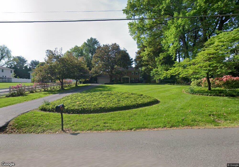
11915 Bennett Rd Herndon, VA 20171
Foxvale NeighborhoodEstimated Value: $970,000 - $1,074,000
4
Beds
3
Baths
2,605
Sq Ft
$386/Sq Ft
Est. Value
About This Home
This home is located at 11915 Bennett Rd, Herndon, VA 20171 and is currently estimated at $1,006,483, approximately $386 per square foot. 11915 Bennett Rd is a home located in Fairfax County with nearby schools including Navy Elementary, Franklin Middle, and Oakton High.
Ownership History
Date
Name
Owned For
Owner Type
Purchase Details
Closed on
Mar 14, 2024
Sold by
Johnson Philip B and Johnson Barbara K
Bought by
Philip Bruce Johnson Living Trust and Johnson
Current Estimated Value
Purchase Details
Closed on
Feb 8, 1973
Bought by
Johnson Philip B and And Barbara K
Create a Home Valuation Report for This Property
The Home Valuation Report is an in-depth analysis detailing your home's value as well as a comparison with similar homes in the area
Home Values in the Area
Average Home Value in this Area
Purchase History
| Date | Buyer | Sale Price | Title Company |
|---|---|---|---|
| Philip Bruce Johnson Living Trust | -- | None Listed On Document | |
| Philip Bruce Johnson Living Trust | -- | None Listed On Document | |
| Johnson Philip B | $65,000 | -- |
Source: Public Records
Tax History Compared to Growth
Tax History
| Year | Tax Paid | Tax Assessment Tax Assessment Total Assessment is a certain percentage of the fair market value that is determined by local assessors to be the total taxable value of land and additions on the property. | Land | Improvement |
|---|---|---|---|---|
| 2025 | $10,056 | $905,280 | $400,000 | $505,280 |
| 2024 | $10,056 | $868,010 | $400,000 | $468,010 |
| 2023 | $9,795 | $868,010 | $400,000 | $468,010 |
| 2022 | $9,705 | $848,730 | $390,000 | $458,730 |
| 2021 | $8,668 | $738,620 | $365,000 | $373,620 |
| 2020 | $8,260 | $697,940 | $350,000 | $347,940 |
| 2019 | $7,991 | $675,210 | $350,000 | $325,210 |
| 2018 | $7,775 | $676,060 | $350,000 | $326,060 |
| 2017 | $7,390 | $636,560 | $320,000 | $316,560 |
| 2016 | $7,375 | $636,560 | $320,000 | $316,560 |
| 2015 | $7,104 | $636,560 | $320,000 | $316,560 |
| 2014 | $6,785 | $609,380 | $305,000 | $304,380 |
Source: Public Records
Map
Nearby Homes
- 2904 Rock Manor Ct
- 11732 Stuart Mill Rd
- 11608 Helmont Dr
- 11607 Helmont Dr
- 12205 Thoroughbred Rd
- 11923 Latigo Ln
- 12305 Westwood Hills Dr
- 11581 Stuart Mill Rd
- 11561 Stuart Mill Rd
- 11709 Vale Rd
- 3300 Lauren Oaks Ct
- 11571 Stuart Mill Rd
- 12413 English Garden Ct
- 11689 Heinz Ct
- 3142 Searsmont Place
- 2603 Penny Royal Ln
- 11318 Vale Rd
- 3227 Foxvale Dr
- 2736 Calkins Rd
- 3189 Pond Mist Way
- 11913 Bennett Rd
- 3001 Leefield Dr
- 11911 Bennett Rd
- 11994 Star Ct
- 3003 Leefield Dr
- 11992 Star Ct
- 11912 Bennett Rd
- 2937 Leefield Dr
- 11909 Bennett Rd
- 3002 Leefield Dr
- 11910 Bennett Rd
- 11990 Star Ct
- 11920 Bennett Rd
- 3004 Leefield Dr
- 11993 Star Ct
- 11905 Bennett Rd
- 2936 Leefield Dr
- 11904 Bennett Rd
- 3005 Rayjohn Ln
- 11991 Star Ct