11915 Cove Rd Clear Spring, MD 21722
Estimated Value: $893,000 - $2,011,000
3
Beds
3
Baths
3,185
Sq Ft
$530/Sq Ft
Est. Value
About This Home
This home is located at 11915 Cove Rd, Clear Spring, MD 21722 and is currently estimated at $1,686,760, approximately $529 per square foot. 11915 Cove Rd is a home located in Washington County with nearby schools including Clear Spring Elementary School, Clear Spring Middle School, and Clear Spring High School.
Ownership History
Date
Name
Owned For
Owner Type
Purchase Details
Closed on
May 25, 2025
Sold by
Henson Rebecca Lynne
Bought by
Joanne Keller May Revocable Trust and Henson
Current Estimated Value
Purchase Details
Closed on
Sep 25, 2024
Sold by
Jo Demar Inc
Bought by
Henson Rebecca Lynne
Purchase Details
Closed on
Oct 22, 2001
Sold by
Rauh Family Lmtd Prtnrshp
Bought by
Jo Demar Inc
Purchase Details
Closed on
Dec 19, 1996
Sold by
Rauh Philip and Rauh Erika
Bought by
Rauh Family Lmtd Prtnrshp
Create a Home Valuation Report for This Property
The Home Valuation Report is an in-depth analysis detailing your home's value as well as a comparison with similar homes in the area
Purchase History
We collect this data history from publicly available records. To have your information removed, we recommend requesting removal directly through your county’s website.
| Date | Buyer | Sale Price | Title Company |
|---|---|---|---|
| Joanne Keller May Revocable Trust | -- | None Listed On Document | |
| Henson Rebecca Lynne | -- | None Listed On Document | |
| Jo Demar Inc | $850,000 | -- | |
| Rauh Family Lmtd Prtnrshp | -- | -- | |
| Rauh Philip | -- | -- |
Source: Public Records
Tax History
| Year | Tax Paid | Tax Assessment Tax Assessment Total Assessment is a certain percentage of the fair market value that is determined by local assessors to be the total taxable value of land and additions on the property. | Land | Improvement |
|---|---|---|---|---|
| 2025 | $3,651 | $397,400 | $0 | $0 |
| 2024 | $3,651 | $346,800 | $0 | $0 |
| 2023 | $3,127 | $296,200 | $113,000 | $183,200 |
| 2022 | $3,098 | $293,400 | $0 | $0 |
| 2021 | $3,140 | $290,600 | $0 | $0 |
| 2020 | $3,097 | $287,800 | $113,000 | $174,800 |
| 2019 | $10,366 | $287,733 | $0 | $0 |
| 2018 | $10,365 | $972,167 | $0 | $0 |
| 2017 | $3,071 | $284,100 | $0 | $0 |
| 2016 | -- | $284,100 | $0 | $0 |
| 2015 | -- | $284,100 | $0 | $0 |
| 2014 | $4,030 | $286,100 | $0 | $0 |
Source: Public Records
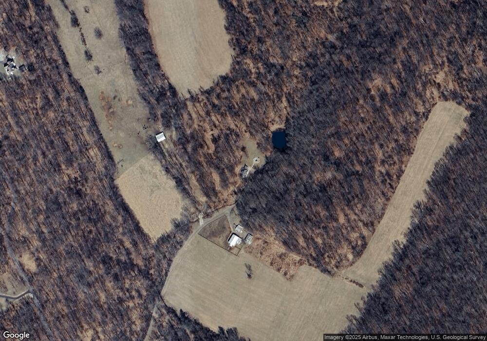
Map
Nearby Homes
- 11614 National Pike
- 11430 National Pike
- 11868 National Pike
- 11034 Big Pool Rd
- Block 91 Lot 5 Bear Bottom Rd
- Block 92 Lot 40 Neverglades Ave
- Block 92 Lot 41 Neverglades Rd
- Block 12 Lot 41 Ranger Rd
- 21 Cumberland St
- Block 17 Lot 8 Avalanche Ave
- Block 21 Lot 4 Old Faceful St
- 0 Mulberry St
- Block 18 Lot 44 Hollow Log
- Block 7 Lot 30 & 31 Campfire Blvd
- Block 7 Lot 21 Campfire Blvd
- Block 8 Lot 16 & 17 Campfire Blvd
- 25-20 Rocky Rd
- Block 14 Lot 10 Old Faceful Rd
- Block 25 Lot 8 Poison Oak
- 0 Block 23 Lot 8 Ranger Rd Unit WVBE2049976
- 12019 Cove Rd
- 11918 Cove Rd
- 12029 Cove Rd
- 11901 Cove Rd
- 11875 Cove Rd
- 11835 Cove Rd
- 12051 Cove Rd
- 11864 Cove Rd Unit 11880
- 12057 Cove Rd
- 12063 Cove Rd
- 0 National Pike Unit WA8725223
- 0 National Pike Unit 1000070267
- 0 National Pike Unit 1000070565
- 12071 Cove Rd
- 11723 Boyd Rd
- 12061 Cove Rd
- 11916 Cove Rd
- 11728 Boyd Rd
- 11802 Orebank Rd
- 12065 Cove Rd
Your Personal Tour Guide
Ask me questions while you tour the home.