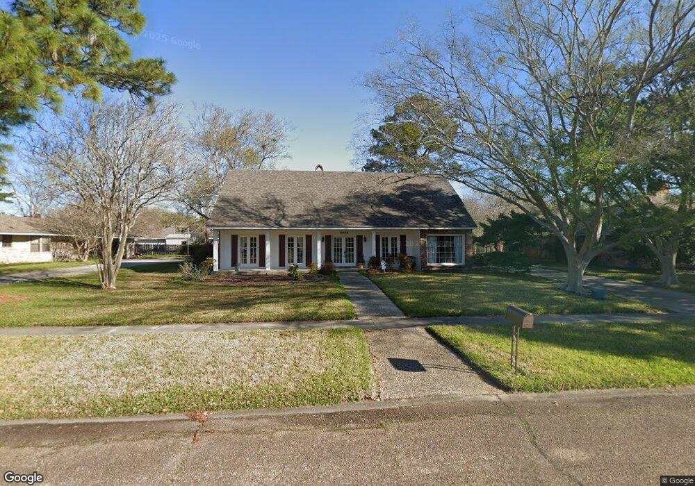
11915 Parkbrook Ave Baton Rouge, LA 70816
Shenandoah NeighborhoodEstimated Value: $228,000 - $278,000
--
Bed
--
Bath
2,608
Sq Ft
$96/Sq Ft
Est. Value
About This Home
This home is located at 11915 Parkbrook Ave, Baton Rouge, LA 70816 and is currently estimated at $249,774, approximately $95 per square foot. 11915 Parkbrook Ave is a home with nearby schools including Parkview Elementary School, Woodlawn Middle School, and Woodlawn High School.
Ownership History
Date
Name
Owned For
Owner Type
Purchase Details
Closed on
Sep 27, 2000
Sold by
Scoggins Richard Lee
Bought by
Scoggins Christine Ann
Current Estimated Value
Home Financials for this Owner
Home Financials are based on the most recent Mortgage that was taken out on this home.
Original Mortgage
$80,405
Outstanding Balance
$27,117
Interest Rate
6.87%
Mortgage Type
Purchase Money Mortgage
Estimated Equity
$222,657
Create a Home Valuation Report for This Property
The Home Valuation Report is an in-depth analysis detailing your home's value as well as a comparison with similar homes in the area
Home Values in the Area
Average Home Value in this Area
Purchase History
| Date | Buyer | Sale Price | Title Company |
|---|---|---|---|
| Scoggins Christine Ann | $80,405 | -- |
Source: Public Records
Mortgage History
| Date | Status | Borrower | Loan Amount |
|---|---|---|---|
| Open | Scoggins Christine Ann | $80,405 |
Source: Public Records
Tax History Compared to Growth
Tax History
| Year | Tax Paid | Tax Assessment Tax Assessment Total Assessment is a certain percentage of the fair market value that is determined by local assessors to be the total taxable value of land and additions on the property. | Land | Improvement |
|---|---|---|---|---|
| 2024 | $1,653 | $20,850 | $2,400 | $18,450 |
| 2023 | $1,653 | $20,850 | $2,400 | $18,450 |
| 2022 | $2,490 | $20,850 | $2,400 | $18,450 |
| 2021 | $2,432 | $20,850 | $2,400 | $18,450 |
| 2020 | $2,463 | $20,850 | $2,400 | $18,450 |
| 2019 | $2,575 | $20,850 | $2,400 | $18,450 |
| 2018 | $2,544 | $20,850 | $2,400 | $18,450 |
| 2017 | $2,544 | $20,850 | $2,400 | $18,450 |
| 2016 | $1,686 | $20,850 | $2,400 | $18,450 |
| 2015 | $1,619 | $20,250 | $2,400 | $17,850 |
| 2014 | $1,613 | $20,250 | $2,400 | $17,850 |
| 2013 | -- | $20,250 | $2,400 | $17,850 |
Source: Public Records
Map
Nearby Homes
- 12032 Mulberry Hill Ave
- 4726 Parkoaks Dr
- 4624 Parkoaks Dr Unit 11
- 4624 Parkoaks Dr Unit 10
- 4625 Parkoaks Dr Unit 37
- 4412 Lake Larto Cir
- 4412 Lake Lawford Ct
- 5415 Heron Nest Dr
- 5402 Heron Landing Dr
- 12326 Lake Sherwood Ave S
- 4637 Tartan Dr
- 4920 Woodlyn Dr
- 4220 Lake Sherwood Ave E
- 11834 Parkview Ct Unit D
- 12028 Lake Sherwood Ave N
- 12111 Lake Sherwood Ave N
- 11815 Parkview Ct Unit I
- 11835 Parkview Ct Unit G
- 11825 Parkview Ct Unit H
- 11845 Parkview Ct Unit F
- 11877 Parkbrook Ave
- 11916 Parkmount Blvd
- 11933 Parkbrook Ave
- 11910 Parkbrook Ave
- 11822 Parkmount Blvd
- 11942 Parkmount Blvd
- 11922 Parkbrook Ave
- 11865 Parkbrook Ave
- 11864 Parkbrook Ave
- 11930 Parkbrook Ave
- 11952 Parkmount Blvd
- 11812 Parkmount Blvd
- 11975 Parkbrook Ave
- 11852 Parkbrook Ave
- 11968 Parkbrook Ave
- 11839 Parkbrook Ave
- 11962 Parkmount Blvd
- 11915 Parkmeadow Ave
- 11927 Parkmeadow Ave
- 11806 Parkmount Blvd