11915 W Pauling Rd Manhattan, IL 60442
Estimated Value: $347,000 - $559,000
--
Bed
--
Bath
--
Sq Ft
2.73
Acres
About This Home
This home is located at 11915 W Pauling Rd, Manhattan, IL 60442 and is currently estimated at $458,583. 11915 W Pauling Rd is a home located in Will County with nearby schools including Peotone Intermediate Center, Peotone Elementary School, and Peotone Junior High School.
Ownership History
Date
Name
Owned For
Owner Type
Purchase Details
Closed on
Aug 1, 1996
Sold by
Municipal Trust & Svgs Bank
Bought by
Grice Robert J and Grice Laura M
Current Estimated Value
Home Financials for this Owner
Home Financials are based on the most recent Mortgage that was taken out on this home.
Original Mortgage
$191,250
Outstanding Balance
$15,078
Interest Rate
8.18%
Estimated Equity
$443,505
Create a Home Valuation Report for This Property
The Home Valuation Report is an in-depth analysis detailing your home's value as well as a comparison with similar homes in the area
Home Values in the Area
Average Home Value in this Area
Purchase History
| Date | Buyer | Sale Price | Title Company |
|---|---|---|---|
| Grice Robert J | -- | Lawyers Title |
Source: Public Records
Mortgage History
| Date | Status | Borrower | Loan Amount |
|---|---|---|---|
| Open | Grice Robert J | $191,250 |
Source: Public Records
Tax History Compared to Growth
Tax History
| Year | Tax Paid | Tax Assessment Tax Assessment Total Assessment is a certain percentage of the fair market value that is determined by local assessors to be the total taxable value of land and additions on the property. | Land | Improvement |
|---|---|---|---|---|
| 2024 | $7,075 | $142,594 | $44,134 | $98,460 |
| 2023 | $7,075 | $130,306 | $40,331 | $89,975 |
| 2022 | $6,771 | $118,009 | $36,525 | $81,484 |
| 2021 | $5,937 | $109,776 | $33,977 | $75,799 |
| 2020 | $6,066 | $107,382 | $33,236 | $74,146 |
| 2019 | $6,729 | $105,899 | $32,777 | $73,122 |
| 2018 | $7,092 | $103,822 | $32,134 | $71,688 |
| 2017 | $6,943 | $101,240 | $31,335 | $69,905 |
| 2016 | $6,990 | $101,240 | $31,335 | $69,905 |
| 2015 | $6,542 | $98,291 | $30,422 | $67,869 |
| 2014 | $6,542 | $96,363 | $29,825 | $66,538 |
| 2013 | $6,542 | $96,363 | $29,825 | $66,538 |
Source: Public Records
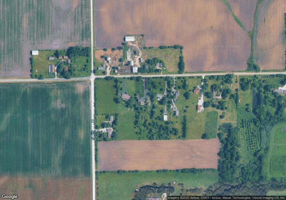
Map
Nearby Homes
- 26065 S Schoolhouse Rd
- 26863 S Wildgrass Turn
- Lot 1 W Haley Rd
- 26040 S Creekside Dr
- Sec 7 Twp 34n R 11e
- 25961 S Manchester Ln
- NE CORNR Kankakee St & Smith Rd
- Lot 1 Schoolhouse Haley Rd Rd
- Lot 4 S Rt 52 Rd
- Lot5 S Rt 52 Rd
- 0000 Nwc Route 52 and Bruns Rd
- Lot 53 Golfview Dr
- 32309 S Cedar Rd
- 13836 W Joliet Rd
- 0 W Stuenkel Rd
- 27243 S 88th Ave
- 308 Calla Dr
- BELLAMY 2 CAR Plan at Ivanhoe
- FAIRFIELD Plan at Ivanhoe
- COVENTRY Plan at Ivanhoe
- 11933 W Pauling Rd
- 11861 W Pauling Rd
- 11841 W Pauling Rd
- 27135 S Scheer Rd
- 11850 W Pauling Rd
- 11952 W Pauling Rd
- 11825 W Pauling Rd
- 11922 W Pauling Rd
- 11922 W Pauling Rd
- 11922 W Pauling Rd
- 11922 W Pauling Rd
- 11801 W Pauling Rd
- 11800 W Pauling Rd
- 27257 S Scheer Rd
- 11750 W Pauling Rd
- 11705 W Pauling Rd
- 11645 W Pauling Rd
- 27351 S Scheer Rd
- 11650 W Pauling Rd
- 11656 W Offner Rd