11919 NE 122nd Ave Brush Prairie, WA 98606
Estimated Value: $645,000 - $1,170,000
4
Beds
3
Baths
2,178
Sq Ft
$405/Sq Ft
Est. Value
About This Home
This home is located at 11919 NE 122nd Ave, Brush Prairie, WA 98606 and is currently estimated at $882,178, approximately $405 per square foot. 11919 NE 122nd Ave is a home located in Clark County with nearby schools including Glenwood Heights Primary School, Laurin Middle School, and Prairie High School.
Ownership History
Date
Name
Owned For
Owner Type
Purchase Details
Closed on
Dec 17, 1998
Sold by
Kulla Emil W and Kulla Marci L
Bought by
Denton Lynn and Denton Cathy M
Current Estimated Value
Home Financials for this Owner
Home Financials are based on the most recent Mortgage that was taken out on this home.
Original Mortgage
$209,000
Outstanding Balance
$47,802
Interest Rate
6.86%
Estimated Equity
$834,376
Create a Home Valuation Report for This Property
The Home Valuation Report is an in-depth analysis detailing your home's value as well as a comparison with similar homes in the area
Home Values in the Area
Average Home Value in this Area
Purchase History
| Date | Buyer | Sale Price | Title Company |
|---|---|---|---|
| Denton Lynn | $220,000 | Clark County Title Company |
Source: Public Records
Mortgage History
| Date | Status | Borrower | Loan Amount |
|---|---|---|---|
| Open | Denton Lynn | $209,000 |
Source: Public Records
Tax History Compared to Growth
Tax History
| Year | Tax Paid | Tax Assessment Tax Assessment Total Assessment is a certain percentage of the fair market value that is determined by local assessors to be the total taxable value of land and additions on the property. | Land | Improvement |
|---|---|---|---|---|
| 2025 | $5,357 | $630,619 | $299,950 | $330,669 |
| 2024 | $4,512 | $644,557 | $299,950 | $344,607 |
| 2023 | $4,736 | $621,485 | $297,800 | $323,685 |
| 2022 | $4,594 | $596,594 | $284,900 | $311,694 |
| 2021 | $4,396 | $504,169 | $239,750 | $264,419 |
| 2020 | $4,508 | $440,918 | $207,500 | $233,418 |
| 2019 | $3,653 | $441,384 | $223,000 | $218,384 |
| 2018 | $4,344 | $410,031 | $0 | $0 |
| 2017 | $3,670 | $371,741 | $0 | $0 |
| 2016 | $3,349 | $342,542 | $0 | $0 |
| 2015 | $3,258 | $286,376 | $0 | $0 |
| 2014 | -- | $263,458 | $0 | $0 |
| 2013 | -- | $243,650 | $0 | $0 |
Source: Public Records
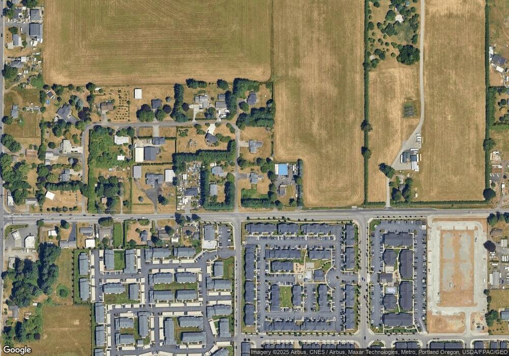
Map
Nearby Homes
- 11530 NE 125th Ave
- 11516 NE 126th Ave
- 11527 NE 126th Ave
- 11703 NE 128th Place
- 11110 NE 124th Ave
- 11314 NE 127th Ct
- 11105 NE 121st Ct
- 11620 NE 131st Ave
- 12012 NE 110th St
- 11501 NE 131st Place
- 12721 NE 111th St
- 12519 NE 109th Cir
- 12400 NE 109th St
- 13110 NE 112th St
- 11016 NE 131st Ct
- 13108 NE 112th St
- 13116 NE 112th St
- 11020 NE 131st Ct
- Homesite 29 Plan at Randall K Estates
- Homesite 23 Plan at Randall K Estates
- 11916 NE 122nd Ave
- 12205 NE 119th St
- 12007 NE 122nd Ave
- 12115 NE 119th St
- 12125 NE 119th St
- 12020 NE 119th St
- 12107 NE 119th St
- 12105 NE 121st St
- 12216 NE 119th St
- 11800 NE 124th Ave
- 12105 NE 122nd Ave
- 12100 NE 121st St
- 12005 NE 119th St
- 12006 NE 119th St
- 12309 NE 119th St
- 11911 NE 119th St
- 12003 NE 121st St
- 12001 NE 119th St
- 12002 NE 121st St
- 11803 NE 124th Ave