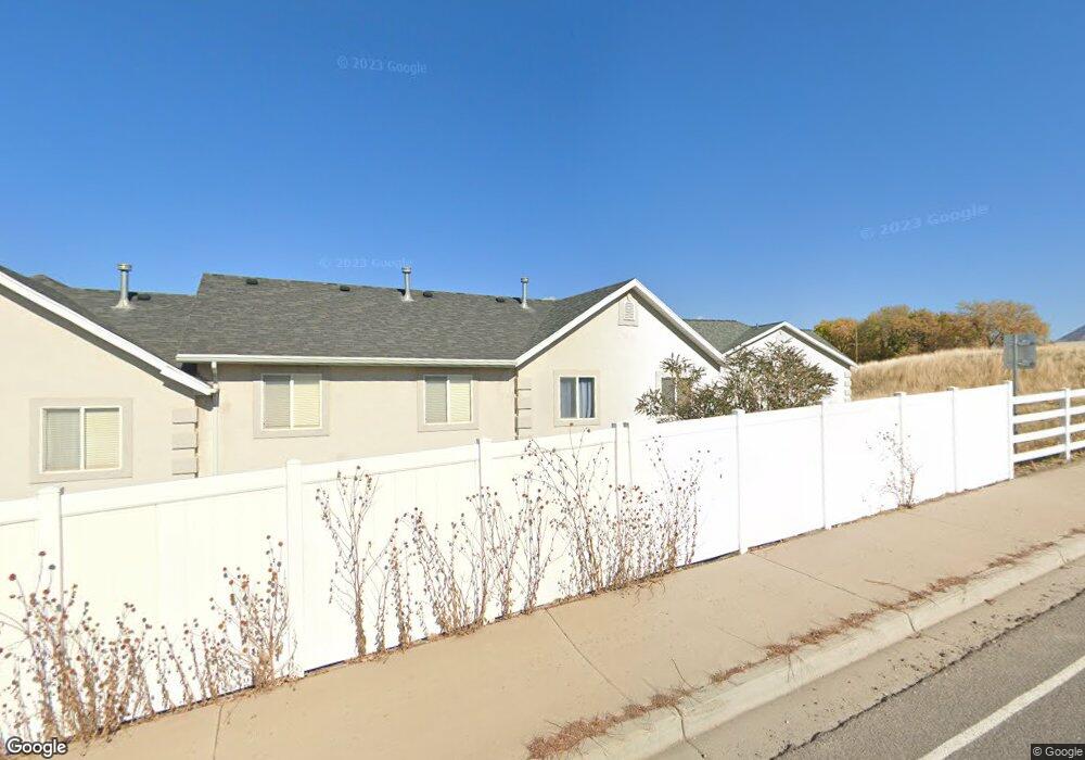
1192 E 440 N Unit 19 Spanish Fork, UT 84660
Estimated Value: $312,000 - $376,000
3
Beds
3
Baths
1,350
Sq Ft
$250/Sq Ft
Est. Value
About This Home
This home is located at 1192 E 440 N Unit 19, Spanish Fork, UT 84660 and is currently estimated at $337,239, approximately $249 per square foot. 1192 E 440 N Unit 19 is a home located in Utah County with nearby schools including Rees Elementary School, Mapleton Junior High School, and Maple Mountain High School.
Ownership History
Date
Name
Owned For
Owner Type
Purchase Details
Closed on
Jul 16, 2025
Sold by
Wing Rick
Bought by
Ruelas Solis Ismael G and Madera Gonzalez Lorena
Current Estimated Value
Home Financials for this Owner
Home Financials are based on the most recent Mortgage that was taken out on this home.
Original Mortgage
$289,750
Outstanding Balance
$289,259
Interest Rate
6.85%
Mortgage Type
New Conventional
Estimated Equity
$47,980
Purchase Details
Closed on
Nov 8, 2013
Sold by
Villalobos Jesus E and Villalobos Monica C
Bought by
Wing Rick
Home Financials for this Owner
Home Financials are based on the most recent Mortgage that was taken out on this home.
Original Mortgage
$7,179
Interest Rate
4.17%
Mortgage Type
Stand Alone Second
Purchase Details
Closed on
May 29, 2001
Sold by
Davencourt Sf Pud Lc
Bought by
Villalobos Jesus E and Villalobos Monica C
Home Financials for this Owner
Home Financials are based on the most recent Mortgage that was taken out on this home.
Original Mortgage
$122,591
Interest Rate
7.15%
Mortgage Type
FHA
Create a Home Valuation Report for This Property
The Home Valuation Report is an in-depth analysis detailing your home's value as well as a comparison with similar homes in the area
Home Values in the Area
Average Home Value in this Area
Purchase History
| Date | Buyer | Sale Price | Title Company |
|---|---|---|---|
| Ruelas Solis Ismael G | -- | Upward Title | |
| Wing Rick | -- | Morgan Title & Escrow Inc | |
| Villalobos Jesus E | -- | Fidelity Land & Title |
Source: Public Records
Mortgage History
| Date | Status | Borrower | Loan Amount |
|---|---|---|---|
| Open | Ruelas Solis Ismael G | $289,750 | |
| Previous Owner | Wing Rick | $7,179 | |
| Previous Owner | Villalobos Jesus E | $122,591 |
Source: Public Records
Tax History
| Year | Tax Paid | Tax Assessment Tax Assessment Total Assessment is a certain percentage of the fair market value that is determined by local assessors to be the total taxable value of land and additions on the property. | Land | Improvement |
|---|---|---|---|---|
| 2025 | $1,703 | $177,815 | -- | -- |
| 2024 | $1,703 | $175,505 | $0 | $0 |
| 2023 | $1,607 | $165,825 | $0 | $0 |
| 2022 | $1,673 | $169,290 | $0 | $0 |
| 2021 | $1,429 | $231,400 | $34,700 | $196,700 |
| 2020 | $1,371 | $215,800 | $32,400 | $183,400 |
| 2019 | $1,147 | $190,000 | $22,000 | $168,000 |
| 2018 | $1,127 | $180,400 | $22,000 | $158,400 |
| 2017 | $1,020 | $87,780 | $0 | $0 |
| 2016 | $923 | $78,375 | $0 | $0 |
| 2015 | $813 | $68,200 | $0 | $0 |
| 2014 | $745 | $62,700 | $0 | $0 |
Source: Public Records
Map
Nearby Homes
- 453 N 1210 E
- 1025 E 360 N Unit 5
- 1022 E 360 N Unit 27
- 991 E 360 N Unit 8
- 1238 E 680 N
- 2672 E 360 N Unit MRVL09
- 314 N 1070 E
- 998 E 260 N Unit 16
- 992 E 260 N Unit 15
- 1261 E 680 N
- 1074 E 660 N
- 306 N 1070 E
- 306 N 1070 E Unit 17
- 274 N 1070 E Unit 14
- 299 N 1070 E Unit 8
- 212 N 1070 E Unit 9
- 224 N 1070 E Unit 10
- 284 N 1000 E
- 686 N Black Horse Loop
- 1005 E 260 N Unit 20
- 1188 E 440 N
- 1188 E 440 N Unit 18
- 1184 E 440 N
- 1184 E 440 N Unit 17
- 444 N 1210 E
- 444 N 1210 E Unit 25
- 1178 E 440 N
- 1178 E 440 N Unit 13
- 446 N 1210 E
- 446 N 1210 E Unit 26
- 1172 E 440 N
- 1172 E 440 N Unit 14
- 1172 E 440 N Unit DCS014
- 452 N 1210 E
- 452 N 1210 E Unit 27
- 447 N 1210 E
- 447 N 1210 E Unit 20
- 447 N 1210 E Unit 4
- 1164 E 440 N
- 1164 E 440 N Unit 15
Your Personal Tour Guide
Ask me questions while you tour the home.