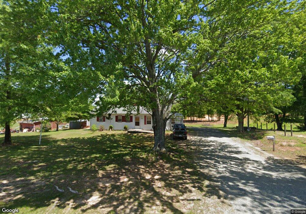
1192 Lennig Rd Nathalie, VA 24577
Estimated Value: $83,000 - $135,000
3
Beds
--
Bath
1,008
Sq Ft
$104/Sq Ft
Est. Value
About This Home
This home is located at 1192 Lennig Rd, Nathalie, VA 24577 and is currently estimated at $105,106, approximately $104 per square foot. 1192 Lennig Rd is a home located in Halifax County with nearby schools including Sydnor Jennings Elementary School, Halifax County Middle School, and Halifax County High School.
Ownership History
Date
Name
Owned For
Owner Type
Purchase Details
Closed on
Jan 26, 2024
Sold by
Blackstock Harvey R and Blackstock Steve Rexwell
Bought by
Ellison Robert and Ellison Rose Marie
Current Estimated Value
Home Financials for this Owner
Home Financials are based on the most recent Mortgage that was taken out on this home.
Original Mortgage
$73,641
Outstanding Balance
$72,516
Interest Rate
7.38%
Mortgage Type
FHA
Estimated Equity
$32,590
Create a Home Valuation Report for This Property
The Home Valuation Report is an in-depth analysis detailing your home's value as well as a comparison with similar homes in the area
Home Values in the Area
Average Home Value in this Area
Purchase History
| Date | Buyer | Sale Price | Title Company |
|---|---|---|---|
| Ellison Robert | $75,000 | None Listed On Document |
Source: Public Records
Mortgage History
| Date | Status | Borrower | Loan Amount |
|---|---|---|---|
| Open | Ellison Robert | $73,641 |
Source: Public Records
Tax History Compared to Growth
Tax History
| Year | Tax Paid | Tax Assessment Tax Assessment Total Assessment is a certain percentage of the fair market value that is determined by local assessors to be the total taxable value of land and additions on the property. | Land | Improvement |
|---|---|---|---|---|
| 2025 | $330 | $66,092 | $9,350 | $56,742 |
| 2024 | $330 | $66,092 | $9,350 | $56,742 |
| 2023 | $273 | $54,620 | $9,350 | $45,270 |
| 2022 | $273 | $54,620 | $9,350 | $45,270 |
| 2021 | $277 | $55,328 | $9,350 | $45,978 |
| 2020 | $277 | $55,328 | $9,350 | $45,978 |
| 2019 | $279 | $55,824 | $9,350 | $46,474 |
| 2018 | $268 | $55,824 | $9,350 | $46,474 |
| 2016 | $279 | $58,189 | $9,350 | $48,839 |
| 2015 | $279 | $58,189 | $9,350 | $48,839 |
| 2014 | $268 | $58,189 | $9,350 | $48,839 |
| 2013 | $268 | $59,627 | $9,350 | $50,277 |
Source: Public Records
Map
Nearby Homes
- 1081 Lennig Rd
- 1120 Armistead Rd
- 0 Bradley Creek Unit 313020
- 2052 Chisolm Trail
- 1180 Coles Ferry Rd
- L P Bailey Memorial Hwy
- 00 Church Rd
- 0 Chestnut Rd Unit 313027
- Tract C Acorn Rd
- 1091 Acorn Rd
- 10 Acres Hunting Creek Rd
- 1135 Acorn Rd
- 0 T N Snow Rd
- TBD T N Snow Rd Unit 7
- 1225 Crystal Hill Rd
- 2211 Coles Ferry Rd
- 4147 Hunting Creek Rd
- 15 acres Lower Liberty Rd
- 0 Rabat Rd Unit 8130-2
- 0 Liberty Rd
- 1200 Lennig Rd
- 1174 Lennig Rd
- 1164 Lennig Rd
- 1244 Lennig Rd
- 1177 Lennig Rd
- 1160 Lennig Rd
- 1138 Lennig Rd
- 1153 Lennig Rd
- 1114 Lennig Rd
- 1106 Lennig Rd
- 1155 Lennig Rd
- 1102 Lennig Rd
- 1084 Lennig Rd
- 1080 Lennig Rd
- 1064 Armistead Rd
- 1075 Lennig Rd
- 1098 Armistead Rd
- 2078 Lennig Rd
- 1072 Lennig Rd
- 2086 Lennig Rd