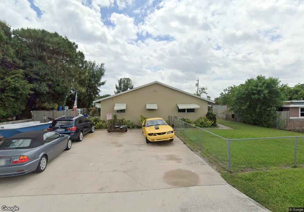
1192 Peak Rd Unit 1200 Lantana, FL 33462
San Castle NeighborhoodEstimated Value: $468,779 - $627,000
2
Beds
2
Baths
1,961
Sq Ft
$271/Sq Ft
Est. Value
About This Home
This home is located at 1192 Peak Rd Unit 1200, Lantana, FL 33462 and is currently estimated at $532,195, approximately $271 per square foot. 1192 Peak Rd Unit 1200 is a home located in Palm Beach County with nearby schools including Rolling Green Elementary School, Boynton Beach Community High School, and Calf Pen Meadow Elementary School.
Ownership History
Date
Name
Owned For
Owner Type
Purchase Details
Closed on
Jun 21, 2021
Sold by
Russo Elizabeth and Nevins Ronda Marie
Bought by
Sorrell Ann Marie
Current Estimated Value
Home Financials for this Owner
Home Financials are based on the most recent Mortgage that was taken out on this home.
Original Mortgage
$328,932
Outstanding Balance
$297,807
Interest Rate
2.9%
Mortgage Type
FHA
Estimated Equity
$234,388
Create a Home Valuation Report for This Property
The Home Valuation Report is an in-depth analysis detailing your home's value as well as a comparison with similar homes in the area
Home Values in the Area
Average Home Value in this Area
Purchase History
| Date | Buyer | Sale Price | Title Company |
|---|---|---|---|
| Sorrell Ann Marie | $335,000 | First American Title Ins Co |
Source: Public Records
Mortgage History
| Date | Status | Borrower | Loan Amount |
|---|---|---|---|
| Open | Sorrell Ann Marie | $328,932 |
Source: Public Records
Tax History Compared to Growth
Tax History
| Year | Tax Paid | Tax Assessment Tax Assessment Total Assessment is a certain percentage of the fair market value that is determined by local assessors to be the total taxable value of land and additions on the property. | Land | Improvement |
|---|---|---|---|---|
| 2024 | $5,953 | $327,505 | -- | -- |
| 2023 | $6,144 | $378,201 | $193,384 | $184,817 |
| 2022 | $6,230 | $335,073 | $0 | $0 |
| 2021 | $4,206 | $249,996 | $120,000 | $129,996 |
| 2020 | $3,601 | $184,932 | $78,000 | $106,932 |
| 2019 | $3,335 | $164,279 | $52,000 | $112,279 |
| 2018 | $3,024 | $153,514 | $25,344 | $128,170 |
| 2017 | $2,700 | $126,601 | $12,672 | $113,929 |
| 2016 | $2,210 | $89,092 | $0 | $0 |
| 2015 | $1,214 | $57,028 | $0 | $0 |
| 2014 | $1,042 | $53,890 | $0 | $0 |
Source: Public Records
Map
Nearby Homes
- 1191 Highview Rd
- 1228 Highview Rd
- 00 Highland Rd
- 1093 Highview Rd
- 1141 S Ridge Rd
- 1079 Highview Rd
- 1076 Highview Rd
- 3313 Grove Rd
- 1047 Miner Rd
- 7890 Overlook Rd
- 130 S Atlantic Dr E
- 8037 Ambach Way Unit 24D
- 7874 Griswold St
- 3196 N Seacrest Blvd
- 657 Waterside Dr Unit 14
- 7805 Loomis St
- 0 N Atlantic Dr
- 7905 Loomis St Unit 7905-7907
- 7772 Loomis St
- 627 Waterside Dr
- 1192 Peak Rd
- 1206 Peak Rd
- 1185 Highview Rd
- 0 Highview Rd Unit R10599667
- 0 Highview Rd Unit R10754043
- 1170 Peak Rd
- 1213 Highview Rd
- 1177 Highview Rd
- 1191 Peak Rd
- 1207 Peak Rd
- 1224 Peak Rd
- 1221 Highview Rd
- 1213 Peak Rd
- 1169 Highview Rd
- 1173 Peak Rd
- 1217 Peak Rd
- 1163 Highview Rd
- 1236 Peak Rd Unit 2
- 1236 Peak Rd Unit 1
- 1237 Highview Rd