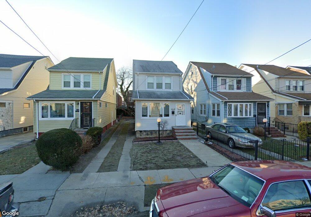
11920 179th St Jamaica, NY 11434
Saint Albans NeighborhoodEstimated Value: $602,116 - $737,000
--
Bed
--
Bath
1,460
Sq Ft
$464/Sq Ft
Est. Value
About This Home
This home is located at 11920 179th St, Jamaica, NY 11434 and is currently estimated at $676,779, approximately $463 per square foot. 11920 179th St is a home located in Queens County with nearby schools including Ps 36 St Albans School, Is 59 Springfield Gardens, and Rochdale Early Advantage Charter School.
Ownership History
Date
Name
Owned For
Owner Type
Purchase Details
Closed on
Dec 15, 1995
Sold by
Ragland Audrey Monroe and Ragland Audrey M
Bought by
Monroe Audrey
Current Estimated Value
Home Financials for this Owner
Home Financials are based on the most recent Mortgage that was taken out on this home.
Original Mortgage
$94,500
Interest Rate
7.02%
Create a Home Valuation Report for This Property
The Home Valuation Report is an in-depth analysis detailing your home's value as well as a comparison with similar homes in the area
Home Values in the Area
Average Home Value in this Area
Purchase History
| Date | Buyer | Sale Price | Title Company |
|---|---|---|---|
| Monroe Audrey | -- | Commonwealth Land Title | |
| Monroe Audrey | -- | Commonwealth Land Title |
Source: Public Records
Mortgage History
| Date | Status | Borrower | Loan Amount |
|---|---|---|---|
| Closed | Monroe Audrey | $94,500 |
Source: Public Records
Tax History Compared to Growth
Tax History
| Year | Tax Paid | Tax Assessment Tax Assessment Total Assessment is a certain percentage of the fair market value that is determined by local assessors to be the total taxable value of land and additions on the property. | Land | Improvement |
|---|---|---|---|---|
| 2025 | $4,749 | $26,352 | $7,779 | $18,573 |
| 2024 | $4,761 | $25,044 | $8,860 | $16,184 |
| 2023 | $4,464 | $23,627 | $7,445 | $16,182 |
| 2022 | $4,163 | $32,460 | $11,760 | $20,700 |
| 2021 | $4,395 | $31,800 | $11,760 | $20,040 |
| 2020 | $4,352 | $28,980 | $11,760 | $17,220 |
| 2019 | $4,073 | $27,060 | $11,760 | $15,300 |
| 2018 | $3,716 | $19,689 | $7,567 | $12,122 |
| 2017 | $3,487 | $18,576 | $8,182 | $10,394 |
| 2016 | $3,404 | $18,576 | $8,182 | $10,394 |
| 2015 | $1,894 | $18,300 | $13,080 | $5,220 |
| 2014 | $1,894 | $17,392 | $10,561 | $6,831 |
Source: Public Records
Map
Nearby Homes
- 11819 179th St
- 179-01 120th Ave
- 11984 178th Place
- 119-48 178th St
- 119-72 178th St
- 18822 119th Ave
- 186-02 Foch Blvd
- 11942 189th St
- 119-60 177th St
- 176-43 120th Ave
- 17955 Anderson Rd
- 176-27 Sunbury Rd
- 17715 Troutville Rd
- 188-51 120th Rd
- 18821 118th Ave
- 17918 Selover Rd
- 17710 Troutville Rd
- 179-47 Zoller Rd
- 118-18 190th St
- 18922 117th Rd
- 11924 179th St
- 11918 179th St
- 11926 179th St
- 11914 179th St
- 11928 179th St
- 11928 179th St
- 11912 179th St
- 11961 178th Place
- 11959 178th Place
- 11965 178th Place
- 11932 179th St
- 119-59 178th Place
- 11955 178th Place
- 11967 178th Place
- 11908 179th St
- 11951 178th Place
- 11938 179th St
- 11971 178th Place
- 11923 179th St