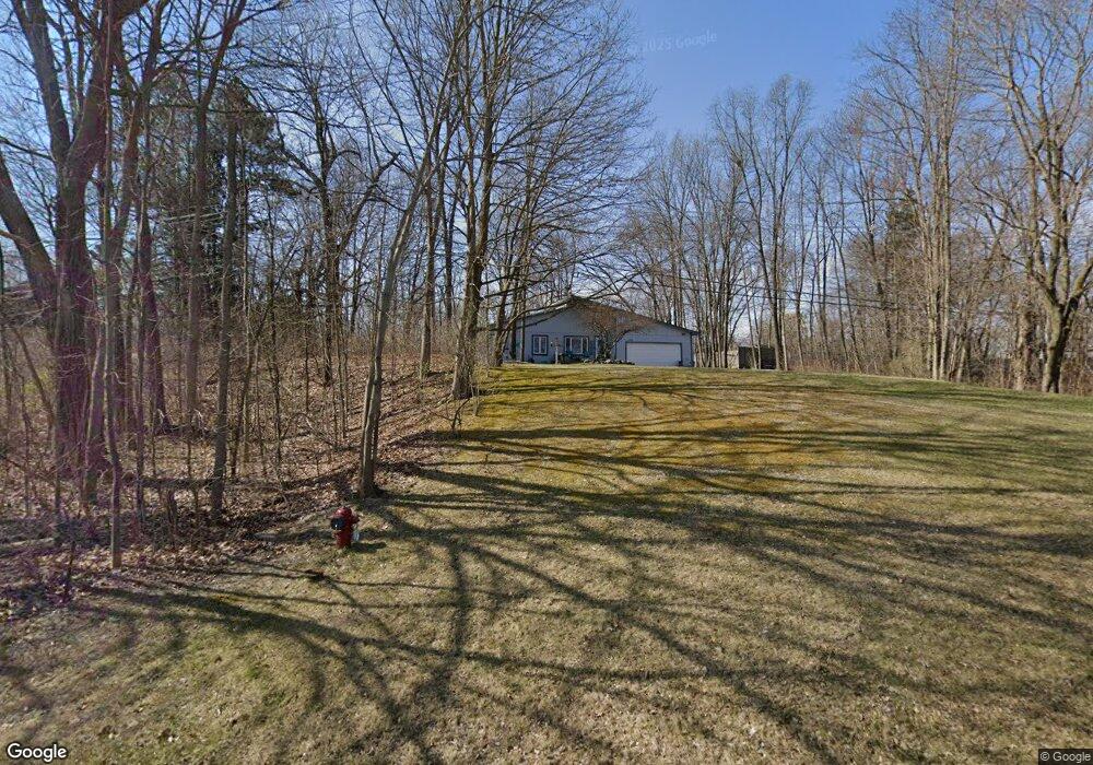
11920 Cundy Rd Hartland, MI 48353
Estimated Value: $302,142 - $315,000
3
Beds
2
Baths
1,064
Sq Ft
$289/Sq Ft
Est. Value
About This Home
This home is located at 11920 Cundy Rd, Hartland, MI 48353 and is currently estimated at $307,536, approximately $289 per square foot. 11920 Cundy Rd is a home located in Livingston County with nearby schools including Hartland High School, Charyl Stockwell Academy, and Our Savior Evangelical Lutheran School.
Ownership History
Date
Name
Owned For
Owner Type
Purchase Details
Closed on
Mar 8, 2014
Sold by
Mack Jeffrey and Horning Laura
Bought by
Mack Laura
Current Estimated Value
Purchase Details
Closed on
Oct 27, 2000
Sold by
Bush Irene
Bought by
Kalinowski Daniel M and Kalinowski Michelle M
Home Financials for this Owner
Home Financials are based on the most recent Mortgage that was taken out on this home.
Original Mortgage
$153,880
Interest Rate
7.96%
Mortgage Type
FHA
Create a Home Valuation Report for This Property
The Home Valuation Report is an in-depth analysis detailing your home's value as well as a comparison with similar homes in the area
Home Values in the Area
Average Home Value in this Area
Purchase History
| Date | Buyer | Sale Price | Title Company |
|---|---|---|---|
| Mack Laura | -- | -- | |
| Kalinowski Daniel M | $173,500 | Eit Title |
Source: Public Records
Mortgage History
| Date | Status | Borrower | Loan Amount |
|---|---|---|---|
| Previous Owner | Kalinowski Daniel M | $153,880 |
Source: Public Records
Tax History Compared to Growth
Tax History
| Year | Tax Paid | Tax Assessment Tax Assessment Total Assessment is a certain percentage of the fair market value that is determined by local assessors to be the total taxable value of land and additions on the property. | Land | Improvement |
|---|---|---|---|---|
| 2025 | $2,472 | $137,100 | $0 | $0 |
| 2024 | $1,070 | $124,800 | $0 | $0 |
| 2023 | $1,022 | $110,500 | $0 | $0 |
| 2022 | $2,243 | $95,800 | $0 | $0 |
| 2021 | $2,152 | $104,400 | $0 | $0 |
| 2020 | $2,144 | $104,200 | $0 | $0 |
| 2019 | $2,010 | $95,800 | $0 | $0 |
| 2018 | $1,966 | $84,000 | $0 | $0 |
| 2017 | $1,933 | $84,000 | $0 | $0 |
| 2016 | $1,925 | $82,800 | $0 | $0 |
| 2014 | $1,764 | $67,700 | $0 | $0 |
| 2012 | $1,764 | $71,400 | $0 | $0 |
Source: Public Records
Map
Nearby Homes
- 2.03 Acres Highland Rd
- 11639 Island Ct
- 12071 Highland Rd
- 12002 Renfrew Ct
- 2581 Pepper Ct
- 1441 Remsing St Unit 4
- 2933 Bullard Rd
- 1020 Woods Edge Dr
- V/L Highland Rd
- 2255 Clark Rd
- 1163 Long Lake Dr
- 1412 North Ct
- 000 Highland Rd
- V/L Parcels C & D Old Us-23 Hwy
- V/L Parcel D Old Us-23 Hwy
- V/L Parcel C Old Us-23 Hwy
- 10456 Viewtop Ct
- 10484 Northvalley Ct Unit 14
- NEC M-59 Fenton Rd
- V/L Old Us 23 Hwy
- 12032 Cundy Rd
- 1968 Maxfield Rd
- 1990 Maxfield Rd
- 1983 Maxfield Rd
- 1955 Maxfield Rd
- 1930 Maxfield Rd
- 1945 Maxfield Rd
- 1930 Maxfield Lake Rd
- 1925 Maxfield Rd
- 11947 Clair St
- 1798 Bobbie St
- 11943 Clair St
- 1790 Bobbie St
- 11933 Clair St
- 1780 Bobbie St
- 1895 Maxfield Rd
- 1886 Maxfield Rd
- 11905 Clair St
- 11938 Clair St
- 1774 Bobbie St