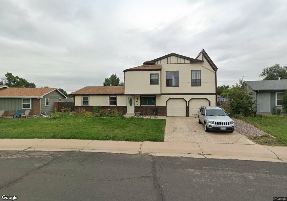
11920 Saint Paul Cir Thornton, CO 80233
Estimated Value: $473,000 - $525,000
3
Beds
2
Baths
1,900
Sq Ft
$263/Sq Ft
Est. Value
About This Home
This home is located at 11920 Saint Paul Cir, Thornton, CO 80233 and is currently estimated at $499,624, approximately $262 per square foot. 11920 Saint Paul Cir is a home located in Adams County with nearby schools including Woodglen Elementary School, Century Middle School, and Mountain Range High School.
Ownership History
Date
Name
Owned For
Owner Type
Purchase Details
Closed on
Feb 26, 2007
Sold by
Deutsche Bank National Trust Co
Bought by
Hansen Shawn
Current Estimated Value
Home Financials for this Owner
Home Financials are based on the most recent Mortgage that was taken out on this home.
Original Mortgage
$178,360
Outstanding Balance
$107,959
Interest Rate
6.26%
Mortgage Type
Purchase Money Mortgage
Estimated Equity
$391,665
Purchase Details
Closed on
Jan 3, 2007
Sold by
Pigeon Jason
Bought by
Deutsche Bank National Trust Co
Home Financials for this Owner
Home Financials are based on the most recent Mortgage that was taken out on this home.
Original Mortgage
$178,360
Outstanding Balance
$107,959
Interest Rate
6.26%
Mortgage Type
Purchase Money Mortgage
Estimated Equity
$391,665
Purchase Details
Closed on
Jun 15, 2005
Sold by
Purdy Stephen D and Purdy Sandy P
Bought by
Pigeon Jason
Home Financials for this Owner
Home Financials are based on the most recent Mortgage that was taken out on this home.
Original Mortgage
$164,800
Interest Rate
7.15%
Mortgage Type
Fannie Mae Freddie Mac
Create a Home Valuation Report for This Property
The Home Valuation Report is an in-depth analysis detailing your home's value as well as a comparison with similar homes in the area
Home Values in the Area
Average Home Value in this Area
Purchase History
| Date | Buyer | Sale Price | Title Company |
|---|---|---|---|
| Hansen Shawn | $182,000 | Chicago Title Co | |
| Deutsche Bank National Trust Co | -- | None Available | |
| Pigeon Jason | $206,000 | Stewart Title Of Denver |
Source: Public Records
Mortgage History
| Date | Status | Borrower | Loan Amount |
|---|---|---|---|
| Open | Hansen Shawn | $178,360 | |
| Previous Owner | Pigeon Jason | $164,800 |
Source: Public Records
Tax History Compared to Growth
Tax History
| Year | Tax Paid | Tax Assessment Tax Assessment Total Assessment is a certain percentage of the fair market value that is determined by local assessors to be the total taxable value of land and additions on the property. | Land | Improvement |
|---|---|---|---|---|
| 2024 | $3,278 | $30,570 | $5,480 | $25,090 |
| 2023 | $3,244 | $35,380 | $5,410 | $29,970 |
| 2022 | $2,867 | $26,030 | $5,560 | $20,470 |
| 2021 | $2,963 | $26,030 | $5,560 | $20,470 |
| 2020 | $2,736 | $24,520 | $5,720 | $18,800 |
| 2019 | $2,741 | $24,520 | $5,720 | $18,800 |
| 2018 | $2,453 | $21,320 | $5,760 | $15,560 |
| 2017 | $2,231 | $21,320 | $5,760 | $15,560 |
| 2016 | $1,736 | $16,150 | $3,180 | $12,970 |
| 2015 | $1,733 | $16,150 | $3,180 | $12,970 |
| 2014 | -- | $14,420 | $2,470 | $11,950 |
Source: Public Records
Map
Nearby Homes
- 11817 Cook St
- 11776 Saint Paul St
- 3491 E 119th St
- 11879 Madison Place
- 2656 E 117th Way
- 11928 Monroe St
- 12131 Elizabeth Ct
- 11845 Garfield St
- 11848 Jackson Cir
- 12113 York St
- 11901 Bellaire St Unit D
- 12215 Garfield Place
- 11957 Claude Ct
- 3880 E 117th Ave
- 11546 Monroe Way
- 11630 Columbine St
- 11936 E 119th Place
- 3989 E 121st Ave
- 11922 Bellaire St Unit F
- 11861 Claude Way
- 11910 Saint Paul Cir
- 11930 Saint Paul Cir
- 11863 Steele St
- 11873 Steele St
- 11853 Steele St
- 11900 Saint Paul Cir
- 11940 Saint Paul Cir
- 11883 Steele St
- 11843 Steele St
- 11880 Saint Paul St
- 11833 Steele St
- 11893 Steele St
- 11864 Steele St
- 11874 Steele St
- 11854 Steele St
- 11950 Saint Paul Cir
- 11888 Saint Paul Cir
- 11884 Steele St
- 11860 Saint Paul St
- 11844 Steele St