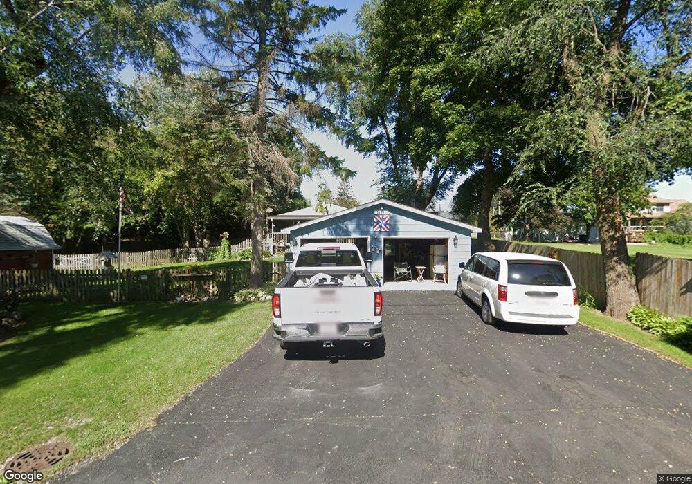
11922 W Edwards Ct Zion, IL 60099
West Zion NeighborhoodEstimated Value: $220,564 - $270,000
2
Beds
1
Bath
780
Sq Ft
$309/Sq Ft
Est. Value
About This Home
This home is located at 11922 W Edwards Ct, Zion, IL 60099 and is currently estimated at $241,391, approximately $309 per square foot. 11922 W Edwards Ct is a home located in Lake County with nearby schools including Kenneth Murphy School, Beach Park Middle School, and Zion-Benton Township High School.
Ownership History
Date
Name
Owned For
Owner Type
Purchase Details
Closed on
Aug 24, 1994
Sold by
Robinson Kathie Lynn and Casey Kathie L
Bought by
Casey James W and Casey Kathie L
Current Estimated Value
Home Financials for this Owner
Home Financials are based on the most recent Mortgage that was taken out on this home.
Original Mortgage
$21,000
Interest Rate
8.59%
Create a Home Valuation Report for This Property
The Home Valuation Report is an in-depth analysis detailing your home's value as well as a comparison with similar homes in the area
Home Values in the Area
Average Home Value in this Area
Purchase History
| Date | Buyer | Sale Price | Title Company |
|---|---|---|---|
| Casey James W | -- | First American Title |
Source: Public Records
Mortgage History
| Date | Status | Borrower | Loan Amount |
|---|---|---|---|
| Closed | Casey James W | $21,000 |
Source: Public Records
Tax History Compared to Growth
Tax History
| Year | Tax Paid | Tax Assessment Tax Assessment Total Assessment is a certain percentage of the fair market value that is determined by local assessors to be the total taxable value of land and additions on the property. | Land | Improvement |
|---|---|---|---|---|
| 2024 | $4,532 | $62,201 | $19,883 | $42,318 |
| 2023 | $4,440 | $54,236 | $19,194 | $35,042 |
| 2022 | $4,440 | $50,571 | $18,750 | $31,821 |
| 2021 | $4,386 | $47,529 | $18,273 | $29,256 |
| 2020 | $4,275 | $45,357 | $17,438 | $27,919 |
| 2019 | $4,257 | $43,034 | $16,545 | $26,489 |
| 2018 | $4,935 | $47,531 | $20,084 | $27,447 |
| 2017 | $4,889 | $44,714 | $18,894 | $25,820 |
| 2016 | $4,744 | $42,568 | $17,987 | $24,581 |
| 2015 | $4,572 | $39,039 | $16,496 | $22,543 |
| 2014 | $3,059 | $29,507 | $6,867 | $22,640 |
| 2012 | $3,127 | $30,663 | $7,136 | $23,527 |
Source: Public Records
Map
Nearby Homes
- 1304 Pelican Ct
- 3707 Willow Crest Dr
- 3717 Willow Crest Dr
- 1531 Southport Ct
- 1521 Southport Ct
- 4014 Ridge Rd
- 1417 Westside Trail
- 1405 Lewis Ave
- 1302 Lorelei Dr
- 0 9th St
- 908 Countrywood Dr
- 42908 N Lewis Ave
- 1817 Joppa Ave
- 1814 Jethro Ave
- 1703 Hermon Ave
- 1807 Horeb Ave
- 4539 Illinois 173
- 1701 Galilee Ave
- 4533 Illinois 173
- 2004 Joanna Ave
- 42071 N Kenosha Rd
- 11905 W 12th St
- 11879 W 12th St
- 735 Kenosha Rd
- 0 N Kenosha Rd Unit 9811202
- 0 N Kenosha Rd Unit 10501671
- 42145 N Kenosha Rd
- 1200 Kenosha Rd
- 11860 W Edwards Ct
- 11894 W 13th St
- 3507 Edwards Ct
- 42023 N Kenosha Rd
- 11858 W 12th St
- 11847 W 12th St
- 624 Kakos Ct
- 11921 W Dodson St
- 11937 W Dodson St
- 622 Kakos Ct
- 1306 Pelican Ct
- 11887 W Dodson St